![](/images/other/stat-length.png)
Bad Soden, Bad Soden-Salmünster : Les meilleures randonnées, itinéraires, parcours, balades et promenades
Bad Soden : découvrez les meilleures randonnées : 4 pédestres. Tous ces circuits, parcours, itinéraires et activités en plein air sont disponibles dans nos applications SityTrail pour smartphones et tablettes.
Les meilleurs parcours (4)
![Randonnée A pied Bad Soden-Salmünster - Spessartspuren - Bad Sodener Waldgeflüster - Photo](https://media.geolcdn.com/t/350/260/ext.jpg?maxdim=2&url=https%3A%2F%2Fmedia.geolcdn.com%2Ff%2Feab33703-db53-400c-8f5e-a96553cdf665.jpeg)
![A pied A pied](https://static1.geolcdn.com/sitytour/trail-icons/100.png)
Km
A pied
![](/images/other/stat-length.png)
![](https://static1.geolcdn.com/siteimages/upload/files/1508320355ic_sort_den_pos_24dp.png)
![](https://static1.geolcdn.com/siteimages/upload/files/1508320355ic_sort_den_neg_24dp.png)
![](https://static1.geolcdn.com/siteimages/upload/files/16400158638029165_repeat_loop_refresh_sync_direction_icon.png)
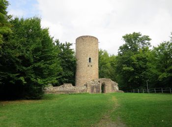
• Randonnée créée par Naturpark Hessischer Spessart. Symbole: Blauer Strich und grüner Bogen über gelbem Rechteck auf ...
![Randonnée A pied Bad Soden-Salmünster - Bad Soden-Salmünster Münsterberg-Rundtour - Photo](https://media.geolcdn.com/t/350/260/ext.jpg?maxdim=2&url=https%3A%2F%2Fmedia.geolcdn.com%2Ff%2Fab9909e1-8e44-4835-80f3-c165e56669c0.jpeg)
![A pied A pied](https://static1.geolcdn.com/sitytour/trail-icons/100.png)
Km
A pied
![](/images/other/stat-length.png)
![](https://static1.geolcdn.com/siteimages/upload/files/1508320355ic_sort_den_pos_24dp.png)
![](https://static1.geolcdn.com/siteimages/upload/files/1508320355ic_sort_den_neg_24dp.png)
![](https://static1.geolcdn.com/siteimages/upload/files/16400158638029165_repeat_loop_refresh_sync_direction_icon.png)
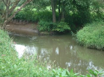
• Randonnée créée par Stadt Bad Soden-Salmünster. Symbole: Blaue Raute auf weißem Hintergrund Site web: http://www.b...
![Randonnée A pied Bad Soden-Salmünster - Bad Soden-Salmünster Vom Wildpark zum Tannenkopf - Photo](https://media.geolcdn.com/t/350/260/ext.jpg?maxdim=2&url=https%3A%2F%2Fmedia.geolcdn.com%2Ff%2F78dcc63c-7207-4618-9629-c33d53afa663.jpeg)
![A pied A pied](https://static1.geolcdn.com/sitytour/trail-icons/100.png)
Km
A pied
![](/images/other/stat-length.png)
![](https://static1.geolcdn.com/siteimages/upload/files/1508320355ic_sort_den_pos_24dp.png)
![](https://static1.geolcdn.com/siteimages/upload/files/1508320355ic_sort_den_neg_24dp.png)
![](https://static1.geolcdn.com/siteimages/upload/files/16400158638029165_repeat_loop_refresh_sync_direction_icon.png)
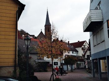
• Randonnée créée par Stadt Bad Soden-Salmünster. Symbole: Blauer Kreis auf weißem Hintergrund
![Randonnée A pied Bad Soden-Salmünster - Bad Soden-Salmünster Über Höhenwege nach Udenhain - Photo](https://media.geolcdn.com/t/350/260/ext.jpg?maxdim=2&url=https%3A%2F%2Fmedia.geolcdn.com%2Ff%2F63bd498c-deb6-4bef-8e17-bfea867f62bc.jpeg)
![A pied A pied](https://static1.geolcdn.com/sitytour/trail-icons/100.png)
Km
A pied
![](/images/other/stat-length.png)
![](https://static1.geolcdn.com/siteimages/upload/files/1508320355ic_sort_den_pos_24dp.png)
![](https://static1.geolcdn.com/siteimages/upload/files/1508320355ic_sort_den_neg_24dp.png)
![](https://static1.geolcdn.com/siteimages/upload/files/16400158638029165_repeat_loop_refresh_sync_direction_icon.png)
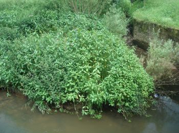
• Randonnée créée par Stadt Bad Soden-Salmünster. Symbole: Blaues Quadrat auf weißem Hintergrund
4 randonnées affichées sur 4
Application GPS de randonnée GRATUITE