


3,4 km | 4,7 km-effort
Kaufungen : découvrez les meilleures randonnées : 11 pédestres. Tous ces circuits, parcours, itinéraires et activités en plein air sont disponibles dans nos applications SityTrail pour smartphones et tablettes.
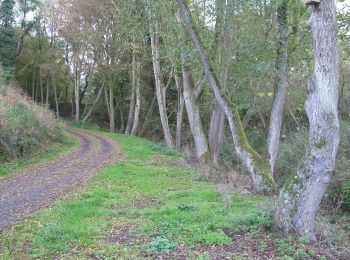
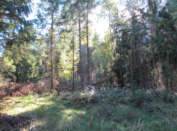
A pied


• Site web: http://www.kaufungen.eu/Tourist_Info/Wandern/
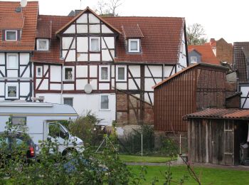
A pied
• Site web: http://www.kaufungen.eu/Tourist_Info/Wandern/

A pied
• Site web: http://www.kaufungen.eu/Tourist_Info/Wandern/
A pied
• Site web: http://www.kaufungen.eu/Tourist_Info/Wandern/
A pied
• Site web: http://www.kaufungen.eu/Tourist_Info/Wandern/
A pied
• Site web: http://www.kaufungen.eu/Tourist_Info/Wandern/
A pied
• Site web: http://www.kaufungen.eu/Tourist_Info/Wandern/

A pied
• Site web: http://www.kaufungen.eu/Tourist_Info/Wandern/
A pied
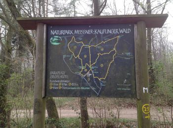
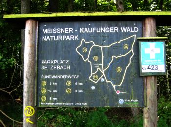
• Die Eco Pfade im Landkreis Kassel sollen dazu anregen, sich mit der Geschichte der Region zu beschäftigen, Zeugen der...
A pied
• Site web: http://www.kaufungen.eu/Tourist_Info/Wandern/
A pied
11 randonnées affichées sur 11
Application GPS de randonnée GRATUITE
 SityTrail
IGN / Instituts géographiques
SityTrail World
Le monde est à vous