


4 km | 5 km-effort
Immenhausen : découvrez les meilleures randonnées : 6 pédestres. Tous ces circuits, parcours, itinéraires et activités en plein air sont disponibles dans nos applications SityTrail pour smartphones et tablettes.
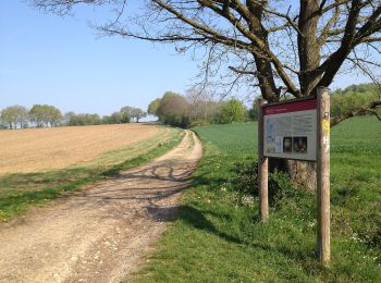
A pied


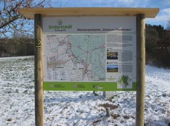
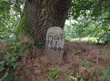
• Die Eco Pfade im Landkreis Kassel sollen dazu anregen, sich mit der Geschichte der Region zu beschäftigen, Zeugen der...
A pied
• Die Eco Pfade im Landkreis Kassel sollen dazu anregen, sich mit der Geschichte der Region zu beschäftigen, Zeugen der...
A pied
• Die Eco Pfade im Landkreis Kassel sollen dazu anregen, sich mit der Geschichte der Region zu beschäftigen, Zeugen der...
A pied
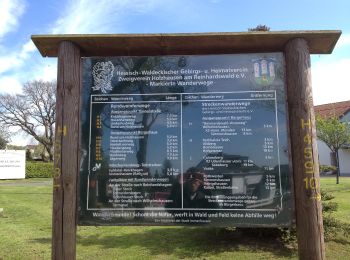
• Randonnée créée par Hessisch-Waldeckischer Gebirgs- und Heimatverein(HWGHV).
A pied
A pied
6 randonnées affichées sur 6
Application GPS de randonnée GRATUITE
 SityTrail
IGN / Instituts géographiques
SityTrail World
Le monde est à vous