![](/images/other/stat-length.png)
- Randonnées
- Outdoor
- Allemagne
- Hesse
- Kreis Bergstraße
- Abtsteinach
Abtsteinach, Kreis Bergstraße : Les meilleures randonnées, itinéraires, parcours, balades et promenades
Abtsteinach : découvrez les meilleures randonnées : 10 pédestres. Tous ces circuits, parcours, itinéraires et activités en plein air sont disponibles dans nos applications SityTrail pour smartphones et tablettes.
Les meilleurs parcours (10)
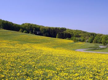
![Randonnée A pied Abtsteinach - Rundwanderweg Abtsteinach 10: Leonhardsberg-Weg - Photo](https://media.geolcdn.com/t/350/260/c6e929d6-c91e-4358-aa1e-43e327129bdd.jpeg&format=jpg&maxdim=2)
![A pied A pied](https://static1.geolcdn.com/sitytour/trail-icons/100.png)
Km
A pied
![](/images/other/stat-length.png)
![](https://static1.geolcdn.com/siteimages/upload/files/1508320355ic_sort_den_pos_24dp.png)
![](https://static1.geolcdn.com/siteimages/upload/files/1508320355ic_sort_den_neg_24dp.png)
![](https://static1.geolcdn.com/siteimages/upload/files/16400158638029165_repeat_loop_refresh_sync_direction_icon.png)
• Randonnée créée par Geo-Naturpark Bergstraße-Odenwald. Symbole: weiße 10 in weißem Kreis, über dem Kreis die Regiona...
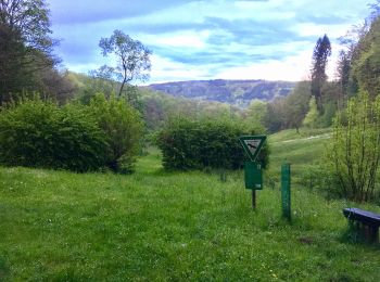
![Randonnée A pied Abtsteinach - Rundwanderweg Abtsteinach 8: Kreuzacker-Weg - Photo](https://media.geolcdn.com/t/350/260/78e8faf9-ace8-41eb-be33-a77bf7ebe4ba.jpeg&format=jpg&maxdim=2)
![A pied A pied](https://static1.geolcdn.com/sitytour/trail-icons/100.png)
Km
A pied
![](/images/other/stat-length.png)
![](https://static1.geolcdn.com/siteimages/upload/files/1508320355ic_sort_den_pos_24dp.png)
![](https://static1.geolcdn.com/siteimages/upload/files/1508320355ic_sort_den_neg_24dp.png)
![](https://static1.geolcdn.com/siteimages/upload/files/16400158638029165_repeat_loop_refresh_sync_direction_icon.png)
• Randonnée créée par Geo-Naturpark Bergstraße-Odenwald. Symbole: Weiße 8 in einem oben offenen Kreis, darüber weißes A
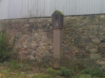
![Randonnée A pied Abtsteinach - Rundwanderweg Abtsteinach 7: Hohberg-Weg - Photo](https://media.geolcdn.com/t/350/260/863bbddc-24dc-402f-aff1-ae472cb0e89d.jpeg&format=jpg&maxdim=2)
![A pied A pied](https://static1.geolcdn.com/sitytour/trail-icons/100.png)
Km
A pied
![](/images/other/stat-length.png)
![](https://static1.geolcdn.com/siteimages/upload/files/1508320355ic_sort_den_pos_24dp.png)
![](https://static1.geolcdn.com/siteimages/upload/files/1508320355ic_sort_den_neg_24dp.png)
![](https://static1.geolcdn.com/siteimages/upload/files/16400158638029165_repeat_loop_refresh_sync_direction_icon.png)
• Randonnée créée par Geo-Naturpark Bergstraße-Odenwald. Symbole: Weiße 7 in einem oben offenen Kreis, darüber weißes A
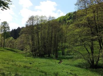
![Randonnée A pied Abtsteinach - Rundwanderweg Abtsteinach 3: Lichtenklinger-Weg - Photo](https://media.geolcdn.com/t/350/260/dc532a96-05b3-4641-bde9-13382a8f2e04.jpeg&format=jpg&maxdim=2)
![A pied A pied](https://static1.geolcdn.com/sitytour/trail-icons/100.png)
Km
A pied
![](/images/other/stat-length.png)
![](https://static1.geolcdn.com/siteimages/upload/files/1508320355ic_sort_den_pos_24dp.png)
![](https://static1.geolcdn.com/siteimages/upload/files/1508320355ic_sort_den_neg_24dp.png)
![](https://static1.geolcdn.com/siteimages/upload/files/16400158638029165_repeat_loop_refresh_sync_direction_icon.png)
• Randonnée créée par Geo-Naturpark Bergstraße-Odenwald. Symbole: Weiße 3 in einem oben offenen Kreis, darüber weißes A
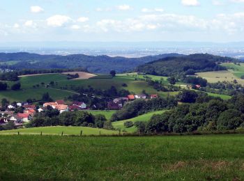
![Randonnée A pied Abtsteinach - Rundwanderweg Steinachquelle 5: Götzenklingen-Weg - Photo](https://media.geolcdn.com/t/350/260/b2b8b9f9-78aa-4efb-a268-b95544df513b.jpeg&format=jpg&maxdim=2)
![A pied A pied](https://static1.geolcdn.com/sitytour/trail-icons/100.png)
Km
A pied
![](/images/other/stat-length.png)
![](https://static1.geolcdn.com/siteimages/upload/files/1508320355ic_sort_den_pos_24dp.png)
![](https://static1.geolcdn.com/siteimages/upload/files/1508320355ic_sort_den_neg_24dp.png)
![](https://static1.geolcdn.com/siteimages/upload/files/16400158638029165_repeat_loop_refresh_sync_direction_icon.png)
• Randonnée créée par Geo-Naturpark Bergstraße-Odenwald. Symbole: Gelbe 5 im gelben Kreis
![Randonnée A pied Abtsteinach - Rundwanderweg Steinachquelle 6: Schnorrenbacher-Weg - Photo](https://media.geolcdn.com/t/350/260/b2b8b9f9-78aa-4efb-a268-b95544df513b.jpeg&format=jpg&maxdim=2)
![A pied A pied](https://static1.geolcdn.com/sitytour/trail-icons/100.png)
Km
A pied
![](/images/other/stat-length.png)
![](https://static1.geolcdn.com/siteimages/upload/files/1508320355ic_sort_den_pos_24dp.png)
![](https://static1.geolcdn.com/siteimages/upload/files/1508320355ic_sort_den_neg_24dp.png)
![](https://static1.geolcdn.com/siteimages/upload/files/16400158638029165_repeat_loop_refresh_sync_direction_icon.png)
• Randonnée créée par Geo-Naturpark Bergstraße-Odenwald. Symbole: Gelbe 6 im gelben Kreis
![Randonnée A pied Abtsteinach - Rundwanderweg Steinachquelle 4: Götzenstein-Weg - Photo](https://media.geolcdn.com/t/350/260/b2b8b9f9-78aa-4efb-a268-b95544df513b.jpeg&format=jpg&maxdim=2)
![A pied A pied](https://static1.geolcdn.com/sitytour/trail-icons/100.png)
Km
A pied
![](/images/other/stat-length.png)
![](https://static1.geolcdn.com/siteimages/upload/files/1508320355ic_sort_den_pos_24dp.png)
![](https://static1.geolcdn.com/siteimages/upload/files/1508320355ic_sort_den_neg_24dp.png)
![](https://static1.geolcdn.com/siteimages/upload/files/16400158638029165_repeat_loop_refresh_sync_direction_icon.png)
• Randonnée créée par Geo-Naturpark Bergstraße-Odenwald. Ist nicht identisch mit der Relation 934512 Symbole: Gelbe 4...
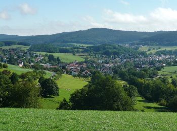
![Randonnée A pied Abtsteinach - Rundwanderweg Abtsteinach 6: Steinbruchweg - Photo](https://media.geolcdn.com/t/350/260/8e49eae8-9180-4248-b987-073bf25328dc.jpeg&format=jpg&maxdim=2)
![A pied A pied](https://static1.geolcdn.com/sitytour/trail-icons/100.png)
Km
A pied
![](/images/other/stat-length.png)
![](https://static1.geolcdn.com/siteimages/upload/files/1508320355ic_sort_den_pos_24dp.png)
![](https://static1.geolcdn.com/siteimages/upload/files/1508320355ic_sort_den_neg_24dp.png)
![](https://static1.geolcdn.com/siteimages/upload/files/16400158638029165_repeat_loop_refresh_sync_direction_icon.png)
• Randonnée créée par Geo-Naturpark Bergstraße-Odenwald. Symbole: Grüne 6 in einem oben offenen Kreis, darüber grünes A
![Randonnée A pied Abtsteinach - Rundwanderweg Abtsteinach 1: Panoramaweg Abtsteinach - Photo](https://media.geolcdn.com/t/350/260/78e8faf9-ace8-41eb-be33-a77bf7ebe4ba.jpeg&format=jpg&maxdim=2)
![A pied A pied](https://static1.geolcdn.com/sitytour/trail-icons/100.png)
Km
A pied
![](/images/other/stat-length.png)
![](https://static1.geolcdn.com/siteimages/upload/files/1508320355ic_sort_den_pos_24dp.png)
![](https://static1.geolcdn.com/siteimages/upload/files/1508320355ic_sort_den_neg_24dp.png)
![](https://static1.geolcdn.com/siteimages/upload/files/16400158638029165_repeat_loop_refresh_sync_direction_icon.png)
• Randonnée créée par Odenwaldklub. Symbole: Grüne 1 in einem oben offenen Kreis, darüber grünes A
![Randonnée A pied Abtsteinach - Rundwanderweg Abtsteinach 9: Strobersklingen-Weg - Photo](https://media.geolcdn.com/t/350/260/c6e929d6-c91e-4358-aa1e-43e327129bdd.jpeg&format=jpg&maxdim=2)
![A pied A pied](https://static1.geolcdn.com/sitytour/trail-icons/100.png)
Km
A pied
![](/images/other/stat-length.png)
![](https://static1.geolcdn.com/siteimages/upload/files/1508320355ic_sort_den_pos_24dp.png)
![](https://static1.geolcdn.com/siteimages/upload/files/1508320355ic_sort_den_neg_24dp.png)
![](https://static1.geolcdn.com/siteimages/upload/files/16400158638029165_repeat_loop_refresh_sync_direction_icon.png)
• Randonnée créée par Geo-Naturpark Bergstraße-Odenwald. Symbole: Weiße 9 im oben offenen Kreis darüber weißes A
10 randonnées affichées sur 10
Application GPS de randonnée GRATUITE