


28 km | 33 km-effort
Lich : découvrez les meilleures randonnées : 3 pédestres. Tous ces circuits, parcours, itinéraires et activités en plein air sont disponibles dans nos applications SityTrail pour smartphones et tablettes.
A pied


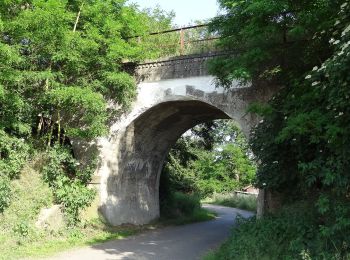
• Randonnée créée par Vogelsberger Höhenclub. complete (Überprüft und Ergänzt von be-ju nach Beschilderung) Stand Okto...
A pied
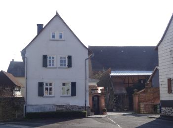
• Randonnée créée par Vogelsberger Höhenclub. complete (Überprüft und Ergänzt von be-ju nach Beschilderung; Wegführung...
A pied
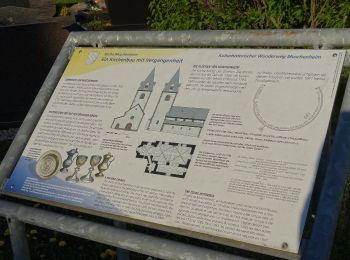
• Randonnée créée par Landkreis Gießen. altes Symbol=Wappen von Muschenheim Symbole: KHW
3 randonnées affichées sur 3
Application GPS de randonnée GRATUITE
 SityTrail
IGN / Instituts géographiques
SityTrail World
Le monde est à vous