


6,8 km | 8,8 km-effort
Niedernhausen : découvrez les meilleures randonnées : 12 pédestres. Tous ces circuits, parcours, itinéraires et activités en plein air sont disponibles dans nos applications SityTrail pour smartphones et tablettes.
A pied


• Symbole: https://upload.wikimedia.org/wikipedia/commons/9/90/ApfelweinWiesen.jpg
A pied
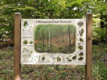
• Randonnée créée par Naturpark Rhein-Taunus.
A pied
• Randonnée créée par DE Oberjosbach. Symbole: https://upload.wikimedia.org/wikipedia/commons/3/34/Wegsymbol-Strandweg...
A pied
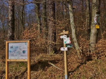
• Randonnée créée par DE Oberjosbach. Symbole: schwarzer Krug auf weißem Grund
A pied
• Randonnée créée par Naturpark Rhein-Taunus. Symbole: Braunes Eichhörnchen auf weißem Grund
A pied
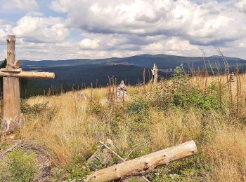
• Randonnée créée par Naturpark Rhein-Taunus. Symbole: Roter Rehkopf auf weißem Grund
A pied
• Randonnée créée par Naturpark Rhein-Taunus. Symbole: Grüne Tanne auf weißem Grund
A pied
• Randonnée créée par Gemeinde Niedernhausen.
A pied
• Randonnée créée par Naturpark Rhein-Taunus. Symbole: Gründes Lindenblatt auf weißem Grund
A pied
• Randonnée créée par Naturpark Rhein-Taunus. Symbole: Schwarzer Eber auf weißem Grund

A pied
• Randonnée créée par DE Oberjosbach. Symbole: https://upload.wikimedia.org/wikipedia/commons/7/7a/Amulett-Symbol.jpg
A pied
• Randonnée créée par Naturpark Rhein-Taunus. Symbole: Schwarzes Geweih auf weißem Grund
12 randonnées affichées sur 12
Application GPS de randonnée GRATUITE
 SityTrail
IGN / Instituts géographiques
SityTrail World
Le monde est à vous