


14,3 km | 16,4 km-effort
Inconnu : découvrez les meilleures randonnées : 12 pédestres et 2 à vélo ou VTT. Tous ces circuits, parcours, itinéraires et activités en plein air sont disponibles dans nos applications SityTrail pour smartphones et tablettes.
A pied


• largely follows the same route as the cycle route so verify relation 6141 when mapping
A pied
• Symbole: Grüngürteltier das Früchte jongliert
A pied
• Symbole: Wasserspeiendes "Grüngürteltier"
A pied
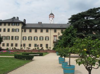
• Randonnée créée par Regionalpark RheinMain Taunushang GmbH.
A pied
• Randonnée créée par Regionalpark RheinMain Taunushang GmbH. Symbole: Hölderlin-Büste auf blauem Grund
A pied

A pied
• r
Marche

A pied
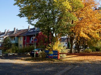
• Randonnée créée par StadtForst Frankfurt. Symbole: seitenverkehrtes Fraktur-F auf dunkelbraunem Grund, siehe http://...
Vélo de route
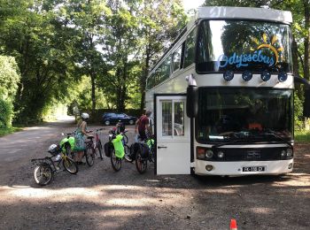
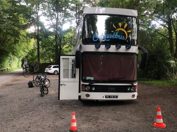
• Belle journée en vélo. Découverte culturelle. Www.Odyssebus.com
Vélo de route
• Nous nous sommes garés ici pour 2 nuits et visite de Francfort à vélo. Cela descends au début. Donc ça monte à la fin...

Plongée
• r
A pied

Marche
Marche

Voiture
16 randonnées affichées sur 16
Application GPS de randonnée GRATUITE
 SityTrail
IGN / Instituts géographiques
SityTrail World
Le monde est à vous