Bobenthal, Südwestpfalz : Les meilleures randonnées, itinéraires, parcours, balades et promenades

Bobenthal : découvrez les meilleures randonnées : 6 pédestres, 2 à vélo ou VTT et 1 parcours équestres. Tous ces circuits, parcours, itinéraires et activités en plein air sont disponibles dans nos applications SityTrail pour smartphones et tablettes.


Les meilleurs parcours (9)
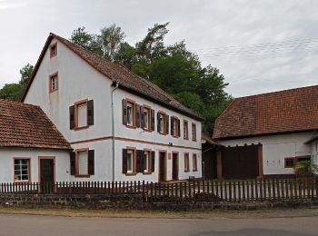
Randonnée A pied Bobenthal - Hasenkopf-Runde - Photo
A pied 7.908
Km
GUIDE+

A pied

Facile
Bobenthal, Rhénanie-Palatinat, Südwestpfalz, Allemagne
7,9 km | 10,9 km-effort
2h 28min
239 m
172 m
Non
SityTrail - itinéraires balisés pédestres

• Randonnée créée par Tourist Information Dahner Felsenland. Symbole: Stilisierter weißer Hase auf blauem Grund mit we...
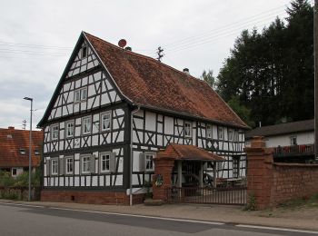
Randonnée A pied Bobenthal - Hirzeck-Gipfel-Steig - Photo
A pied 14.094
Km
GUIDE+

A pied

Facile
Bobenthal, Rhénanie-Palatinat, Südwestpfalz, Allemagne
14,1 km | 19,3 km-effort
4h 22min
387 m
388 m
Oui
SityTrail - itinéraires balisés pédestres

• Randonnée créée par Tourist Information Dahner Felsenland. Symbole: Stlisiertes schwarzes H unter schwarzem Hügel au...

Randonnée A pied Bobenthal - Niederschlettenbach 2 - Lauterweg und Silbergrube - Photo
A pied 3.67
Km
GUIDE+

A pied

Facile
Bobenthal, Rhénanie-Palatinat, Südwestpfalz, Allemagne
3,7 km | 4,9 km-effort
1h 6min
94 m
88 m
Non
SityTrail - itinéraires balisés pédestres

• Randonnée créée par Tourist Information Dahner Felsenland. Symbole: schwarze 2 auf weißem Kreis

Randonnée A pied Bobenthal - Grubenweg - Photo
A pied 9.393
Km
GUIDE+

A pied

Facile
Bobenthal, Rhénanie-Palatinat, Südwestpfalz, Allemagne
9,4 km | 12,3 km-effort
2h 47min
209 m
240 m
Non
SityTrail - itinéraires balisés pédestres

• Randonnée créée par Tourist Information Dahner Felsenland. Symbole: Stilisierte schwarze Grubenlampe auf weißem Grun...

Randonnée A pied Bobenthal - Rundweg 4 Parkplatz Hirzeckhaus - Photo
A pied 5.03
Km
GUIDE+

A pied

Facile
Bobenthal, Rhénanie-Palatinat, Südwestpfalz, Allemagne
5 km | 8,1 km-effort
1h 50min
233 m
233 m
Oui
SityTrail - itinéraires balisés pédestres

• Symbole: schwarze 4 auf weißer Scheibe

Randonnée Marche Bobenthal - Kehlingen -Pigeonnier - Photo
Marche 8.348
Km

Marche

Moyen
Bobenthal, Rhénanie-Palatinat, Südwestpfalz, Allemagne
8,3 km | 11,5 km-effort
2h 6min
252 m
191 m
Non
MAD-CVW

• Randonnée hors balisage

Randonnée V.T.T. Bobenthal - 29-09-2013 - Photo
V.T.T. 35.268
Km

V.T.T.

Difficile
Bobenthal, Rhénanie-Palatinat, Südwestpfalz, Allemagne
35 km | 49 km-effort
2h 41min
1072 m
996 m
Non
reymuben

• pigeonnier

Randonnée V.T.T. Bobenthal - 29-09-2013 - Photo
V.T.T. 35.268
Km

V.T.T.

Difficile
Bobenthal, Rhénanie-Palatinat, Südwestpfalz, Allemagne
35 km | 49 km-effort
2h 41min
1072 m
996 m
Non
reymuben

• pigeonnier

Randonnée Randonnée équestre Bobenthal - Bobenthal 17 Berw Hirzeck - Photo
Randonnée équestre 16.417
Km

Randonnée équestre

Moyen
Bobenthal, Rhénanie-Palatinat, Südwestpfalz, Allemagne
16,4 km | 24 km-effort
2h 53min
551 m
549 m
Oui
acey90

9 randonnées affichées sur 9

Application GPS de randonnée GRATUITE

Logo SityTrail SityTrail

IGN / Instituts géographiques

Télécharger SityTrail sur l'App Store Télécharger SityTrail sur Google Play

Logo SityTrail SityTrail World

Le monde est à vous

Télécharger SityTrail sur l'App Store Télécharger SityTrail sur Google Play Télécharger SityTrail sur Huawei AppGallery

Activités

Fermer
Mes abonnements