


9,9 km | 12,7 km-effort
Euskirchen : découvrez les meilleures randonnées : 9 pédestres. Tous ces circuits, parcours, itinéraires et activités en plein air sont disponibles dans nos applications SityTrail pour smartphones et tablettes.
A pied


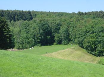
• Randonnée créée par Nordeifel Tourismus GmbH. Symbole: quadratisches Logo oben blaue Fläche (Himmel) unten grüne Flä...
A pied
• Randonnée créée par Nordeifel Tourismus GmbH. Symbole: quadratisches Logo oben blaue Fläche (Himmel) unten grüne Flä...
A pied
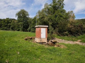
• Randonnée créée par Stadt Euskirchen. Symbole: Weißer Großbuchstabe B in schwarzem Kreis

A pied
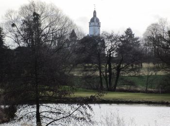
• Randonnée créée par Stadt Euskirchen. Symbole: Weißer Großbuchstabe A in schwarzem Kreis
A pied
• Randonnée créée par Stadt Euskirchen. Symbole: Roter Kreis
A pied
• Randonnée créée par Stadt Euskirchen. Symbole: Weißer Großbuchstabe A in blauem Kreis
A pied
• Randonnée créée par Nordeifel Tourismus GmbH. Symbole: quadratisches Logo oben blaue Fläche (Himmel) unten grüne Flä...

Marche
Marche
9 randonnées affichées sur 9
Application GPS de randonnée GRATUITE
 SityTrail
IGN / Instituts géographiques
SityTrail World
Le monde est à vous