


3,5 km | 4 km-effort
Stadtbezirk 8 : découvrez les meilleures randonnées : 5 pédestres. Tous ces circuits, parcours, itinéraires et activités en plein air sont disponibles dans nos applications SityTrail pour smartphones et tablettes.
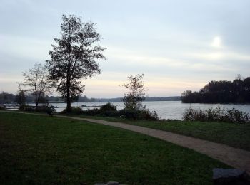
A pied


• Site web: https://sgv-duesseldorf.de/
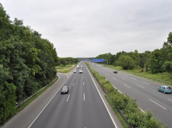
A pied
• Randonnée créée par Sauerländischer Gebirgsverein. Site web: https://sgv-duesseldorf.de/
A pied
• Site web: https://sgv-duesseldorf.de/
![Randonnée A pied Inconnu - [Volldreieck] Eller - Volksgarten - Photo](https://media.geolcdn.com/t/350/260/8a72960d-3a14-4e60-95e0-99357e2467ee.jpeg&format=jpg&maxdim=2)
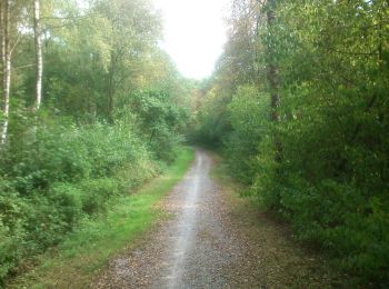
A pied
• Randonnée créée par Sauerländischer Gebirgsverein. Symbole: weißes Dreieck (gefüllt) auf schwarzem Grund Site web:...
![Randonnée A pied Inconnu - [Dreieck] Benrath-Eller - Photo](https://media.geolcdn.com/t/350/260/266731a8-fd1a-456f-89bb-c5c7ffea0328.jpeg&format=jpg&maxdim=2)
A pied
• Randonnée créée par Sauerländischer Gebirgsverein. Symbole: weißes Dreieck (ungefüllt) auf schwarzem Grund (Delta) ...
5 randonnées affichées sur 5
Application GPS de randonnée GRATUITE
 SityTrail
IGN / Instituts géographiques
SityTrail World
Le monde est à vous