


3,6 km | 6 km-effort
Hallenberg : découvrez les meilleures randonnées : 8 pédestres. Tous ces circuits, parcours, itinéraires et activités en plein air sont disponibles dans nos applications SityTrail pour smartphones et tablettes.

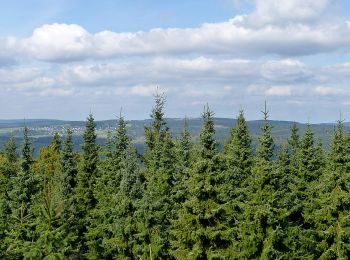
A pied


• Randonnée créée par Sauerländischer Gebirgsverein (SGV).
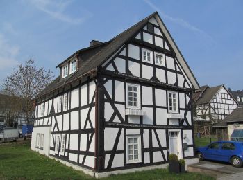
A pied
• Randonnée créée par Sauerländischer Gebirgsverein (SGV).

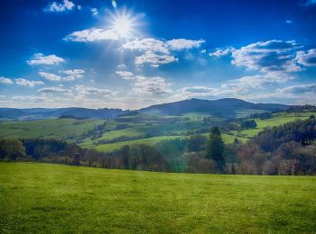
A pied
• Randonnée créée par Sauerländischer Gebirgsverein.
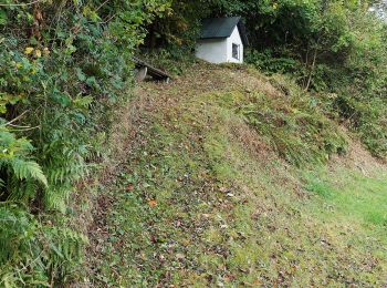
A pied
• Randonnée créée par Sauerländischer Gebirgsverein (SGV). Länge laut Beschilderung 5km, möglicherweise ohne den Zuweg...

A pied
• Randonnée créée par Sauerländischer Gebirgsverein (SGV).
A pied
• Randonnée créée par Sauerländischer Gebirgsverein (SGV).
A pied
• Randonnée créée par Sauerländischer Gebirgsverein (SGV).
A pied
8 randonnées affichées sur 8
Application GPS de randonnée GRATUITE
 SityTrail
IGN / Instituts géographiques
SityTrail World
Le monde est à vous