![](/images/other/stat-length.png)
- Randonnées
- Outdoor
- Allemagne
- Bade-Wurtemberg
- Neckar-Odenwald-Kreis
- Buchen (Odenwald)
Buchen (Odenwald), Neckar-Odenwald-Kreis : Les meilleures randonnées, itinéraires, parcours, balades et promenades
Buchen (Odenwald) : découvrez les meilleures randonnées : 5 pédestres. Tous ces circuits, parcours, itinéraires et activités en plein air sont disponibles dans nos applications SityTrail pour smartphones et tablettes.
Les meilleurs parcours (5)
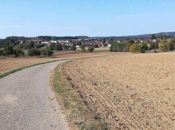
![Randonnée A pied Buchen (Odenwald) - Rundwanderweg Waldhausen 4 Ortsrunde - Photo](https://media.geolcdn.com/t/350/260/65629220-5cbf-4990-91d4-da40696a3e23.jpeg&format=jpg&maxdim=2)
![A pied A pied](https://static1.geolcdn.com/sitytour/trail-icons/100.png)
Km
A pied
![](/images/other/stat-length.png)
![](https://static1.geolcdn.com/siteimages/upload/files/1508320355ic_sort_den_pos_24dp.png)
![](https://static1.geolcdn.com/siteimages/upload/files/1508320355ic_sort_den_neg_24dp.png)
![](https://static1.geolcdn.com/siteimages/upload/files/16400158638029165_repeat_loop_refresh_sync_direction_icon.png)
• Symbole: Weiße 4 in einem oben offenen Kreis, darüber weißes W
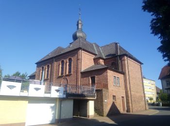
![Randonnée A pied Buchen (Odenwald) - Rundwanderweg Waldhausen 1 Tannenbuckel-Weg - Photo](https://media.geolcdn.com/t/350/260/aba2c3f2-2747-4c23-8962-badc823c1b3b.jpeg&format=jpg&maxdim=2)
![A pied A pied](https://static1.geolcdn.com/sitytour/trail-icons/100.png)
Km
A pied
![](/images/other/stat-length.png)
![](https://static1.geolcdn.com/siteimages/upload/files/1508320355ic_sort_den_pos_24dp.png)
![](https://static1.geolcdn.com/siteimages/upload/files/1508320355ic_sort_den_neg_24dp.png)
![](https://static1.geolcdn.com/siteimages/upload/files/16400158638029165_repeat_loop_refresh_sync_direction_icon.png)
• Symbole: Weiße 1 in einem oben offenen Kreis, darüber weißes W
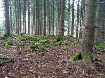
![Randonnée A pied Buchen (Odenwald) - Rundwanderweg Waldhausen 2 Grauer-Forst-Weg - Photo](https://media.geolcdn.com/t/350/260/43f759de-271e-42a4-89f7-37a9e659078b.jpeg&format=jpg&maxdim=2)
![A pied A pied](https://static1.geolcdn.com/sitytour/trail-icons/100.png)
Km
A pied
![](/images/other/stat-length.png)
![](https://static1.geolcdn.com/siteimages/upload/files/1508320355ic_sort_den_pos_24dp.png)
![](https://static1.geolcdn.com/siteimages/upload/files/1508320355ic_sort_den_neg_24dp.png)
![](https://static1.geolcdn.com/siteimages/upload/files/16400158638029165_repeat_loop_refresh_sync_direction_icon.png)
• Symbole: Weiße 2 in einem oben offenen Kreis, darüber weißes W
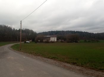
![Randonnée A pied Buchen (Odenwald) - Rundwanderweg Bödigheim 1: Glasenberg-Weg - Photo](https://media.geolcdn.com/t/350/260/4ae1ac50-cddc-41a9-aad1-d7404bc6bb54.jpeg&format=jpg&maxdim=2)
![A pied A pied](https://static1.geolcdn.com/sitytour/trail-icons/100.png)
Km
A pied
![](/images/other/stat-length.png)
![](https://static1.geolcdn.com/siteimages/upload/files/1508320355ic_sort_den_pos_24dp.png)
![](https://static1.geolcdn.com/siteimages/upload/files/1508320355ic_sort_den_neg_24dp.png)
![](https://static1.geolcdn.com/siteimages/upload/files/16400158638029165_repeat_loop_refresh_sync_direction_icon.png)
• Randonnée créée par Naturpark Neckartal-Odenwald. Wegverlauf in Bödigheim noch offen Symbole: Weiße 1 in einem oben...
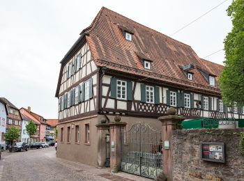
![Randonnée A pied Buchen (Odenwald) - Rundwanderweg Buchen 7: Wartberg-Werg - Photo](https://media.geolcdn.com/t/350/260/2f976d46-d273-4563-ad05-6f1e5696a752.jpeg&format=jpg&maxdim=2)
![A pied A pied](https://static1.geolcdn.com/sitytour/trail-icons/100.png)
Km
A pied
![](/images/other/stat-length.png)
![](https://static1.geolcdn.com/siteimages/upload/files/1508320355ic_sort_den_pos_24dp.png)
![](https://static1.geolcdn.com/siteimages/upload/files/1508320355ic_sort_den_neg_24dp.png)
![](https://static1.geolcdn.com/siteimages/upload/files/16400158638029165_repeat_loop_refresh_sync_direction_icon.png)
• Randonnée créée par Naturpark Neckartal-Odenwald. Weg in Altstadt unklar, keine Markierung gefunden Symbole: Weiße ...
5 randonnées affichées sur 5
Application GPS de randonnée GRATUITE