![](/images/other/stat-length.png)
- Randonnées
- Outdoor
- Allemagne
- Bade-Wurtemberg
- Landkreis Tübingen
- Rottenburg am Neckar
Rottenburg am Neckar, Landkreis Tübingen : Les meilleures randonnées, itinéraires, parcours, balades et promenades
Rottenburg am Neckar : découvrez les meilleures randonnées : 7 pédestres. Tous ces circuits, parcours, itinéraires et activités en plein air sont disponibles dans nos applications SityTrail pour smartphones et tablettes.
Les meilleurs parcours (7)
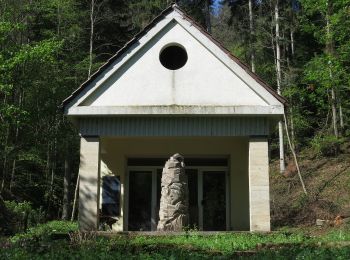
![Randonnée A pied Rottenburg am Neckar - Sieben-Täler-Runde - Photo](https://media.geolcdn.com/t/350/260/fdb2822c-e1ca-41f9-a772-0206ce40a80d.jpeg&format=jpg&maxdim=2)
![A pied A pied](https://static1.geolcdn.com/sitytour/trail-icons/100.png)
Km
A pied
![](/images/other/stat-length.png)
![](https://static1.geolcdn.com/siteimages/upload/files/1508320355ic_sort_den_pos_24dp.png)
![](https://static1.geolcdn.com/siteimages/upload/files/1508320355ic_sort_den_neg_24dp.png)
![](https://static1.geolcdn.com/siteimages/upload/files/16400158638029165_repeat_loop_refresh_sync_direction_icon.png)
• Randonnée créée par Stadt Rottenburg. Symbole: roter Apfel
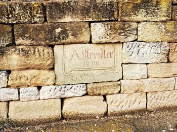
![Randonnée A pied Rottenburg am Neckar - Wurmlinger Kapellenwegle - Photo](https://media.geolcdn.com/t/350/260/1247f7ba-4811-4488-a378-d1495f1cc946.jpeg&format=jpg&maxdim=2)
![A pied A pied](https://static1.geolcdn.com/sitytour/trail-icons/100.png)
Km
A pied
![](/images/other/stat-length.png)
![](https://static1.geolcdn.com/siteimages/upload/files/1508320355ic_sort_den_pos_24dp.png)
![](https://static1.geolcdn.com/siteimages/upload/files/1508320355ic_sort_den_neg_24dp.png)
![](https://static1.geolcdn.com/siteimages/upload/files/16400158638029165_repeat_loop_refresh_sync_direction_icon.png)
• Randonnée créée par Stadt Rottenburg. Symbole: roterr Apfel
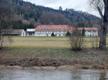
![Randonnée A pied Rottenburg am Neckar - Liebfrauenhöhe-Oberndorf - Photo](https://media.geolcdn.com/t/350/260/19a6f014-6a9f-419d-a600-47f8477b286a.jpeg&format=jpg&maxdim=2)
![A pied A pied](https://static1.geolcdn.com/sitytour/trail-icons/100.png)
Km
A pied
![](/images/other/stat-length.png)
![](https://static1.geolcdn.com/siteimages/upload/files/1508320355ic_sort_den_pos_24dp.png)
![](https://static1.geolcdn.com/siteimages/upload/files/1508320355ic_sort_den_neg_24dp.png)
![](https://static1.geolcdn.com/siteimages/upload/files/16400158638029165_repeat_loop_refresh_sync_direction_icon.png)
• Randonnée créée par Schwäbischer Alb Verein. Symbole: blue cross on white background
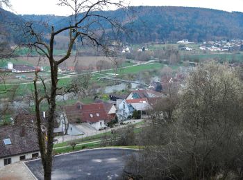
![Randonnée A pied Rottenburg am Neckar - Bieringen-Weitenburg - Photo](https://media.geolcdn.com/t/350/260/c64343ac-d213-45ca-9cef-6cde8dca29a9.jpeg&format=jpg&maxdim=2)
![A pied A pied](https://static1.geolcdn.com/sitytour/trail-icons/100.png)
Km
A pied
![](/images/other/stat-length.png)
![](https://static1.geolcdn.com/siteimages/upload/files/1508320355ic_sort_den_pos_24dp.png)
![](https://static1.geolcdn.com/siteimages/upload/files/1508320355ic_sort_den_neg_24dp.png)
![](https://static1.geolcdn.com/siteimages/upload/files/16400158638029165_repeat_loop_refresh_sync_direction_icon.png)
• Randonnée créée par Schwäbischer Alb Verein. Symbole: red cross on white background
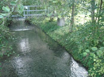
![Randonnée A pied Rottenburg am Neckar - Krreuzerfeld-Bad Nidernau - Photo](https://media.geolcdn.com/t/350/260/b2c6bfa9-0cf9-4280-b413-bd4039e56691.jpeg&format=jpg&maxdim=2)
![A pied A pied](https://static1.geolcdn.com/sitytour/trail-icons/100.png)
Km
A pied
![](/images/other/stat-length.png)
![](https://static1.geolcdn.com/siteimages/upload/files/1508320355ic_sort_den_pos_24dp.png)
![](https://static1.geolcdn.com/siteimages/upload/files/1508320355ic_sort_den_neg_24dp.png)
![](https://static1.geolcdn.com/siteimages/upload/files/16400158638029165_repeat_loop_refresh_sync_direction_icon.png)
• Randonnée créée par Schwäbischer Alb Verein. Symbole: blue cross on white background
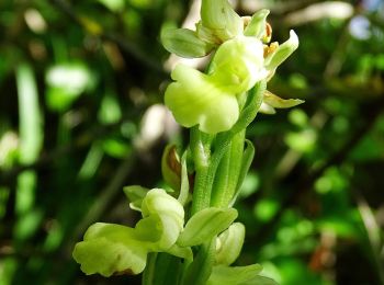
![Randonnée A pied Rottenburg am Neckar - Weiler Burg-Hofgut Eck - Photo](https://media.geolcdn.com/t/350/260/850afbf4-92d0-4fe6-98c4-d0f583d2ae7c.jpeg&format=jpg&maxdim=2)
![A pied A pied](https://static1.geolcdn.com/sitytour/trail-icons/100.png)
Km
A pied
![](/images/other/stat-length.png)
![](https://static1.geolcdn.com/siteimages/upload/files/1508320355ic_sort_den_pos_24dp.png)
![](https://static1.geolcdn.com/siteimages/upload/files/1508320355ic_sort_den_neg_24dp.png)
![](https://static1.geolcdn.com/siteimages/upload/files/16400158638029165_repeat_loop_refresh_sync_direction_icon.png)
• Randonnée créée par Schwäbischer Alb Verein. Symbole: red cross on white background
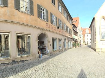
![Randonnée A pied Rottenburg am Neckar - Rottenburg-Rammert - Photo](https://media.geolcdn.com/t/350/260/78b59db4-3347-4096-b133-6216803bdffd.jpeg&format=jpg&maxdim=2)
![A pied A pied](https://static1.geolcdn.com/sitytour/trail-icons/100.png)
Km
A pied
![](/images/other/stat-length.png)
![](https://static1.geolcdn.com/siteimages/upload/files/1508320355ic_sort_den_pos_24dp.png)
![](https://static1.geolcdn.com/siteimages/upload/files/1508320355ic_sort_den_neg_24dp.png)
![](https://static1.geolcdn.com/siteimages/upload/files/16400158638029165_repeat_loop_refresh_sync_direction_icon.png)
• Randonnée créée par Schwäbischer Alb Verein. Symbole: Blauer Balken auf weißem Grund
7 randonnées affichées sur 7
Application GPS de randonnée GRATUITE