
- Randonnées
- Outdoor
- Allemagne
- Bade-Wurtemberg
- Landkreis Schwäbisch Hall
Landkreis Schwäbisch Hall, Bade-Wurtemberg : Les meilleures randonnées, itinéraires, parcours, balades et promenades
Landkreis Schwäbisch Hall : découvrez les meilleures randonnées : 22 pédestres. Tous ces circuits, parcours, itinéraires et activités en plein air sont disponibles dans nos applications SityTrail pour smartphones et tablettes.
Les meilleurs parcours (22)

Km
A pied


• Weg ist nur in einer Richtung markiert Symbole: Grüne 1 auf weißem Grund

Km
A pied


• Symbole: 5 in schwarzem Kreis

Km
A pied


• Randonnée créée par Schwäbischer Albverein. Wanderweg führt südlich weiter nach Murrhardt Symbole: Blauer waagreche...
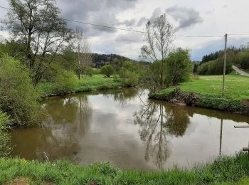
Km
A pied


• Randonnée créée par Schwäbischer Albverein Gaildorf. Symbole: Blauer Kreis auf weißem Grund
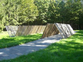
Km
A pied


• Randonnée créée par Schwäbischer Albverein.
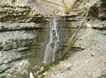
Km
A pied


• Randonnée créée par Bühlertal Tourismus. Symbole: Mittig Großbuchstaben WS in brauner Schrift, klein rechts oben das...
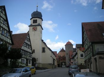
Km
A pied


• Randonnée créée par Schwäbischer Albverein. Symbole: Blauer Punkt auf weißem Grund
Km
A pied


• Symbole: Rotes Kreuz auf weißem Grund
Km
A pied


• Randonnée créée par Schwäbischer Albverein. Symbole: Rotes Kreuz auf weißem Grund

Km
A pied


• Randonnée créée par Schwäbischer Albverein. Symbole: Blauer Strich auf weißem Grund

Km
A pied


• Symbole: Holzschild mit schwarzer 7

Km
A pied


• Symbole: Holzschild mit schwarzer 9

Km
A pied


• Symbole: Holzschild mit schwarzer 5

Km
A pied


• Randonnée créée par Schwäbischer Albverein. Symbole: Blauer Punkt auf weißem Grund

Km
A pied


• Symbole: Holzschild mit schwarzer 2

Km
A pied


• grün

Km
A pied


• rot

Km
A pied


• Randonnée créée par Tourist Information Schwäbisch Hall. Symbole: Grüne 5 auf weißem GRund

Km
A pied


• Randonnée créée par Kreßberg.

Km
A pied


• Symbole: Holzschild mit schwarzer 3
20 randonnées affichées sur 22
Application GPS de randonnée GRATUITE


 SityTrail


