![](/images/other/stat-length.png)
- Randonnées
- Outdoor
- Allemagne
- Bavière
- Landkreis Lichtenfels
- Lichtenfels
Lichtenfels, Landkreis Lichtenfels : Les meilleures randonnées, itinéraires, parcours, balades et promenades
Lichtenfels : découvrez les meilleures randonnées : 27 pédestres. Tous ces circuits, parcours, itinéraires et activités en plein air sont disponibles dans nos applications SityTrail pour smartphones et tablettes.
Les meilleurs parcours (27)
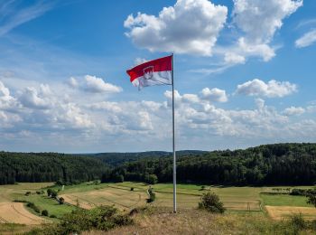
![Randonnée A pied Lichtenfels - Verbindungsweg Köttel - Hoher Bühl - Photo](https://media.geolcdn.com/t/350/260/72cf0f9a-7b02-435d-807e-638aa01a0734.jpeg&format=jpg&maxdim=2)
![A pied A pied](https://static1.geolcdn.com/sitytour/trail-icons/100.png)
Km
A pied
![](/images/other/stat-length.png)
![](https://static1.geolcdn.com/siteimages/upload/files/1508320355ic_sort_den_pos_24dp.png)
![](https://static1.geolcdn.com/siteimages/upload/files/1508320355ic_sort_den_neg_24dp.png)
![](https://static1.geolcdn.com/siteimages/upload/files/16400158638029165_repeat_loop_refresh_sync_direction_icon.png)
• Randonnée créée par Landkreis Lichtenfels. Symbole: Grüner Balken auf weißem Hintergrund
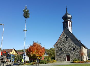
![Randonnée A pied Lichtenfels - Obermain-Hufeisen - Photo](https://media.geolcdn.com/t/350/260/9d695612-1097-4e36-bca3-75a99754ca61.jpeg&format=jpg&maxdim=2)
![A pied A pied](https://static1.geolcdn.com/sitytour/trail-icons/100.png)
Km
A pied
![](/images/other/stat-length.png)
![](https://static1.geolcdn.com/siteimages/upload/files/1508320355ic_sort_den_pos_24dp.png)
![](https://static1.geolcdn.com/siteimages/upload/files/1508320355ic_sort_den_neg_24dp.png)
![](https://static1.geolcdn.com/siteimages/upload/files/16400158638029165_repeat_loop_refresh_sync_direction_icon.png)
• Randonnée créée par Landkreis Lichtenfels. Symbole: Blaue Raute liegend auf weißem Hintergrund
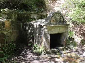
![Randonnée A pied Lichtenfels - Seehofer Rundweg - Photo](https://media.geolcdn.com/t/350/260/9f95497f-e7e5-484e-bd0f-814d7f96b082.jpeg&format=jpg&maxdim=2)
![A pied A pied](https://static1.geolcdn.com/sitytour/trail-icons/100.png)
Km
A pied
![](/images/other/stat-length.png)
![](https://static1.geolcdn.com/siteimages/upload/files/1508320355ic_sort_den_pos_24dp.png)
![](https://static1.geolcdn.com/siteimages/upload/files/1508320355ic_sort_den_neg_24dp.png)
![](https://static1.geolcdn.com/siteimages/upload/files/16400158638029165_repeat_loop_refresh_sync_direction_icon.png)
• Randonnée créée par Landkreis Lichtenfels. Symbole: Roter Punkt auf weißem Hintergrund
![Randonnée A pied Lichtenfels - Vier-Brunnen-Weg - Photo](https://media.geolcdn.com/t/350/260/9f95497f-e7e5-484e-bd0f-814d7f96b082.jpeg&format=jpg&maxdim=2)
![A pied A pied](https://static1.geolcdn.com/sitytour/trail-icons/100.png)
Km
A pied
![](/images/other/stat-length.png)
![](https://static1.geolcdn.com/siteimages/upload/files/1508320355ic_sort_den_pos_24dp.png)
![](https://static1.geolcdn.com/siteimages/upload/files/1508320355ic_sort_den_neg_24dp.png)
![](https://static1.geolcdn.com/siteimages/upload/files/16400158638029165_repeat_loop_refresh_sync_direction_icon.png)
• Randonnée créée par Landkreis Lichtenfels. Symbole: Gelber Pubkt auf weißem Hintergrund
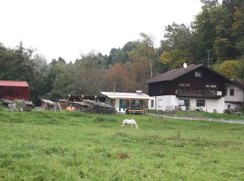
![Randonnée A pied Lichtenfels - Bucher Weg (Buch am Forst) - Photo](https://media.geolcdn.com/t/350/260/c151f2b9-814e-4d95-872c-f9a44941b8b6.jpeg&format=jpg&maxdim=2)
![A pied A pied](https://static1.geolcdn.com/sitytour/trail-icons/100.png)
Km
A pied
![](/images/other/stat-length.png)
![](https://static1.geolcdn.com/siteimages/upload/files/1508320355ic_sort_den_pos_24dp.png)
![](https://static1.geolcdn.com/siteimages/upload/files/1508320355ic_sort_den_neg_24dp.png)
![](https://static1.geolcdn.com/siteimages/upload/files/16400158638029165_repeat_loop_refresh_sync_direction_icon.png)
• Randonnée créée par Landkreis Lichtenfels. Symbole: Schwarze 5 zwischen zwei Punkten auf gelbem Hintergrund
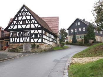
![Randonnée A pied Lichtenfels - Bucher Hufeisen - Photo](https://media.geolcdn.com/t/350/260/012f6250-6e33-4118-acd1-8d4e516687b4.jpeg&format=jpg&maxdim=2)
![A pied A pied](https://static1.geolcdn.com/sitytour/trail-icons/100.png)
Km
A pied
![](/images/other/stat-length.png)
![](https://static1.geolcdn.com/siteimages/upload/files/1508320355ic_sort_den_pos_24dp.png)
![](https://static1.geolcdn.com/siteimages/upload/files/1508320355ic_sort_den_neg_24dp.png)
![](https://static1.geolcdn.com/siteimages/upload/files/16400158638029165_repeat_loop_refresh_sync_direction_icon.png)
• Randonnée créée par Landkreis Lichtenfels. Symbole: Grüner Punkt auf weißem Hintergrund
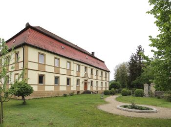
![Randonnée A pied Lichtenfels - Nothelferweg - Photo](https://media.geolcdn.com/t/350/260/381dc211-5a0b-43ba-8a52-fba0db0776f1.jpeg&format=jpg&maxdim=2)
![A pied A pied](https://static1.geolcdn.com/sitytour/trail-icons/100.png)
Km
A pied
![](/images/other/stat-length.png)
![](https://static1.geolcdn.com/siteimages/upload/files/1508320355ic_sort_den_pos_24dp.png)
![](https://static1.geolcdn.com/siteimages/upload/files/1508320355ic_sort_den_neg_24dp.png)
![](https://static1.geolcdn.com/siteimages/upload/files/16400158638029165_repeat_loop_refresh_sync_direction_icon.png)
• Randonnée créée par Stadt Lichtenfels. Symbole: Schwarzer Altar auf weißem Hintergrund
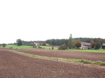
![Randonnée A pied Lichtenfels - Rundweg Schifferbrunnen-Aßlitz - Photo](https://media.geolcdn.com/t/350/260/217bf95f-bd3d-4a25-b959-71056ff09f03.jpeg&format=jpg&maxdim=2)
![A pied A pied](https://static1.geolcdn.com/sitytour/trail-icons/100.png)
Km
A pied
![](/images/other/stat-length.png)
![](https://static1.geolcdn.com/siteimages/upload/files/1508320355ic_sort_den_pos_24dp.png)
![](https://static1.geolcdn.com/siteimages/upload/files/1508320355ic_sort_den_neg_24dp.png)
![](https://static1.geolcdn.com/siteimages/upload/files/16400158638029165_repeat_loop_refresh_sync_direction_icon.png)
• Randonnée créée par Landkreis Lichtenfels. Symbole: Schwarze 3 zwischen zwei Punkten auf gelbem Hintergrund
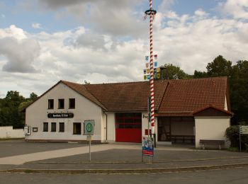
![Randonnée A pied Lichtenfels - Auf Klosters Spuren - Photo](https://media.geolcdn.com/t/350/260/c659b133-2d1d-4e21-a0f1-7107540686a5.jpeg&format=jpg&maxdim=2)
![A pied A pied](https://static1.geolcdn.com/sitytour/trail-icons/100.png)
Km
A pied
![](/images/other/stat-length.png)
![](https://static1.geolcdn.com/siteimages/upload/files/1508320355ic_sort_den_pos_24dp.png)
![](https://static1.geolcdn.com/siteimages/upload/files/1508320355ic_sort_den_neg_24dp.png)
![](https://static1.geolcdn.com/siteimages/upload/files/16400158638029165_repeat_loop_refresh_sync_direction_icon.png)
• Randonnée créée par Landkreis Lichtenfels. Symbole: Goldener Kelch auf blauem Hintergrund
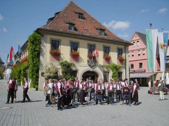
![Randonnée A pied Lichtenfels - Pfad der Flechtkultur - Photo](https://media.geolcdn.com/t/350/260/e999d1a8-f3e5-4fa9-9039-4602f42d6285.jpeg&format=jpg&maxdim=2)
![A pied A pied](https://static1.geolcdn.com/sitytour/trail-icons/100.png)
Km
A pied
![](/images/other/stat-length.png)
![](https://static1.geolcdn.com/siteimages/upload/files/1508320355ic_sort_den_pos_24dp.png)
![](https://static1.geolcdn.com/siteimages/upload/files/1508320355ic_sort_den_neg_24dp.png)
![](https://static1.geolcdn.com/siteimages/upload/files/16400158638029165_repeat_loop_refresh_sync_direction_icon.png)
• Randonnée créée par Landkreis Lichtenfels. Symbole: Schwarzer Kreis auf weißem Hintergrund
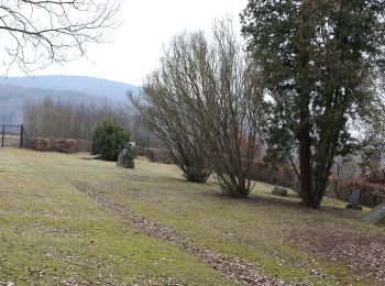
![Randonnée A pied Lichtenfels - Nordic Walking LIF gelb - Photo](https://media.geolcdn.com/t/350/260/e6bb2f0c-836d-4275-87d7-993d167d1fa3.jpeg&format=jpg&maxdim=2)
![A pied A pied](https://static1.geolcdn.com/sitytour/trail-icons/100.png)
Km
A pied
![](/images/other/stat-length.png)
![](https://static1.geolcdn.com/siteimages/upload/files/1508320355ic_sort_den_pos_24dp.png)
![](https://static1.geolcdn.com/siteimages/upload/files/1508320355ic_sort_den_neg_24dp.png)
![](https://static1.geolcdn.com/siteimages/upload/files/16400158638029165_repeat_loop_refresh_sync_direction_icon.png)
• Randonnée créée par Landkreis Lichtenfels. teilweise alte Markierung Symbole: Nordic Walker auf gelbem Hintergrund
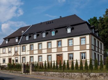
![Randonnée A pied Lichtenfels - Gorkumweg (Klosterlangheim) - Photo](https://media.geolcdn.com/t/350/260/219249de-6974-412e-909e-5e0168372df5.jpeg&format=jpg&maxdim=2)
![A pied A pied](https://static1.geolcdn.com/sitytour/trail-icons/100.png)
Km
A pied
![](/images/other/stat-length.png)
![](https://static1.geolcdn.com/siteimages/upload/files/1508320355ic_sort_den_pos_24dp.png)
![](https://static1.geolcdn.com/siteimages/upload/files/1508320355ic_sort_den_neg_24dp.png)
![](https://static1.geolcdn.com/siteimages/upload/files/16400158638029165_repeat_loop_refresh_sync_direction_icon.png)
• Randonnée créée par Landkreis Lichtenfels. Symbole: Blauer Balken auf weißem Hintergrund
![Randonnée A pied Lichtenfels - Nordic Walking LIF rosa - Photo](https://media.geolcdn.com/t/350/260/e6bb2f0c-836d-4275-87d7-993d167d1fa3.jpeg&format=jpg&maxdim=2)
![A pied A pied](https://static1.geolcdn.com/sitytour/trail-icons/100.png)
Km
A pied
![](/images/other/stat-length.png)
![](https://static1.geolcdn.com/siteimages/upload/files/1508320355ic_sort_den_pos_24dp.png)
![](https://static1.geolcdn.com/siteimages/upload/files/1508320355ic_sort_den_neg_24dp.png)
![](https://static1.geolcdn.com/siteimages/upload/files/16400158638029165_repeat_loop_refresh_sync_direction_icon.png)
• Randonnée créée par Stadt Lichtenfels. teilweise alte Markierung in rot Symbole: Nordic Walker auf rosa Hintergrund
![Randonnée A pied Lichtenfels - Nordic Walking LIF blau - Photo](https://media.geolcdn.com/t/350/260/e6bb2f0c-836d-4275-87d7-993d167d1fa3.jpeg&format=jpg&maxdim=2)
![A pied A pied](https://static1.geolcdn.com/sitytour/trail-icons/100.png)
Km
A pied
![](/images/other/stat-length.png)
![](https://static1.geolcdn.com/siteimages/upload/files/1508320355ic_sort_den_pos_24dp.png)
![](https://static1.geolcdn.com/siteimages/upload/files/1508320355ic_sort_den_neg_24dp.png)
![](https://static1.geolcdn.com/siteimages/upload/files/16400158638029165_repeat_loop_refresh_sync_direction_icon.png)
• Randonnée créée par Landkreis Lichtenfels. teilweise alte Markierung Symbole: Nordic Walker auf hellblauem Hintergr...
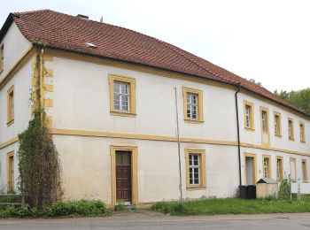
![Randonnée A pied Lichtenfels - Klosterlangheimer Rundweg - Photo](https://media.geolcdn.com/t/350/260/5f095417-7136-4690-aee5-07e6ad4302e3.jpeg&format=jpg&maxdim=2)
![A pied A pied](https://static1.geolcdn.com/sitytour/trail-icons/100.png)
Km
A pied
![](/images/other/stat-length.png)
![](https://static1.geolcdn.com/siteimages/upload/files/1508320355ic_sort_den_pos_24dp.png)
![](https://static1.geolcdn.com/siteimages/upload/files/1508320355ic_sort_den_neg_24dp.png)
![](https://static1.geolcdn.com/siteimages/upload/files/16400158638029165_repeat_loop_refresh_sync_direction_icon.png)
• Randonnée créée par Landkreis Lichtenfels. Symbole: Schwarzer Kelch mit Abtsstab auf gelbem Hintergrund
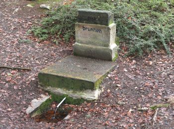
![Randonnée A pied Lichtenfels - Hochstadter Südweg - Photo](https://media.geolcdn.com/t/350/260/3fedf39c-94a6-4ad3-910c-058bc1c549ca.jpeg&format=jpg&maxdim=2)
![A pied A pied](https://static1.geolcdn.com/sitytour/trail-icons/100.png)
Km
A pied
![](/images/other/stat-length.png)
![](https://static1.geolcdn.com/siteimages/upload/files/1508320355ic_sort_den_pos_24dp.png)
![](https://static1.geolcdn.com/siteimages/upload/files/1508320355ic_sort_den_neg_24dp.png)
![](https://static1.geolcdn.com/siteimages/upload/files/16400158638029165_repeat_loop_refresh_sync_direction_icon.png)
• Randonnée créée par Landkreis Lichtenfels. Symbole: Grüne Raute auf weißem Hintergrund
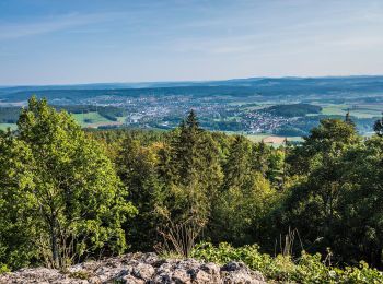
![Randonnée A pied Lichtenfels - Burkheimer Weg (auch](https://media.geolcdn.com/t/350/260/10e893e5-cfed-43ab-93f5-81b7d4660065.jpeg&format=jpg&maxdim=2)
![A pied A pied](https://static1.geolcdn.com/sitytour/trail-icons/100.png)
Km
A pied
![](/images/other/stat-length.png)
![](https://static1.geolcdn.com/siteimages/upload/files/1508320355ic_sort_den_pos_24dp.png)
![](https://static1.geolcdn.com/siteimages/upload/files/1508320355ic_sort_den_neg_24dp.png)
![](https://static1.geolcdn.com/siteimages/upload/files/16400158638029165_repeat_loop_refresh_sync_direction_icon.png)
• Randonnée créée par Landkreis Lichtenfels. Symbole: Gelbe Raute auf weißem Hintergrund
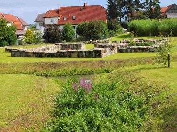
![Randonnée A pied Lichtenfels - Rodach-Main-Querweg - Photo](https://media.geolcdn.com/t/350/260/c7cbf631-9498-41f9-8d64-efc342baabfc.jpeg&format=jpg&maxdim=2)
![A pied A pied](https://static1.geolcdn.com/sitytour/trail-icons/100.png)
Km
A pied
![](/images/other/stat-length.png)
![](https://static1.geolcdn.com/siteimages/upload/files/1508320355ic_sort_den_pos_24dp.png)
![](https://static1.geolcdn.com/siteimages/upload/files/1508320355ic_sort_den_neg_24dp.png)
![](https://static1.geolcdn.com/siteimages/upload/files/16400158638029165_repeat_loop_refresh_sync_direction_icon.png)
• Randonnée créée par Landkreis Lichtenfels. Symbole: Gelber Balken auf weißem Hintergrund
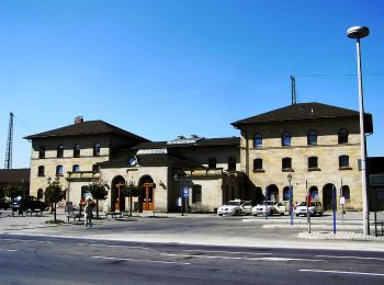
![Randonnée A pied Lichtenfels - Rundweg Eiserne Hand - Photo](https://media.geolcdn.com/t/350/260/537ac0a0-56e3-40b4-ab03-d7a64342bdfe.jpeg&format=jpg&maxdim=2)
![A pied A pied](https://static1.geolcdn.com/sitytour/trail-icons/100.png)
Km
A pied
![](/images/other/stat-length.png)
![](https://static1.geolcdn.com/siteimages/upload/files/1508320355ic_sort_den_pos_24dp.png)
![](https://static1.geolcdn.com/siteimages/upload/files/1508320355ic_sort_den_neg_24dp.png)
![](https://static1.geolcdn.com/siteimages/upload/files/16400158638029165_repeat_loop_refresh_sync_direction_icon.png)
• Randonnée créée par Landkreis Lichtenfels. Symbole: Schwarze 6 zwischen zwei Punkten auf gelbem Hintergrund
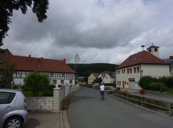
![Randonnée A pied Lichtenfels - Uetzinger Weg - Photo](https://media.geolcdn.com/t/350/260/524c14da-9bf1-4708-bc9d-41265f6b96ff.jpeg&format=jpg&maxdim=2)
![A pied A pied](https://static1.geolcdn.com/sitytour/trail-icons/100.png)
Km
A pied
![](/images/other/stat-length.png)
![](https://static1.geolcdn.com/siteimages/upload/files/1508320355ic_sort_den_pos_24dp.png)
![](https://static1.geolcdn.com/siteimages/upload/files/1508320355ic_sort_den_neg_24dp.png)
![](https://static1.geolcdn.com/siteimages/upload/files/16400158638029165_repeat_loop_refresh_sync_direction_icon.png)
• Randonnée créée par Landkreis Lichtenfels. Symbole: Blauer Strich auf weißem Hintergrund
20 randonnées affichées sur 27
Application GPS de randonnée GRATUITE