![](/images/other/stat-length.png)
Mauth, Landkreis Freyung-Grafenau : Les meilleures randonnées, itinéraires, parcours, balades et promenades
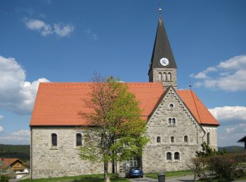
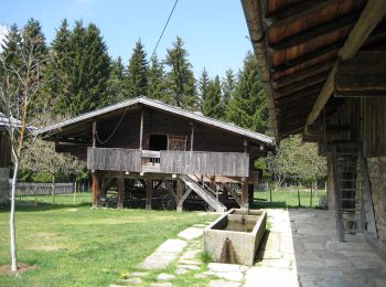
Mauth : découvrez les meilleures randonnées : 4 pédestres. Tous ces circuits, parcours, itinéraires et activités en plein air sont disponibles dans nos applications SityTrail pour smartphones et tablettes.
Les meilleurs parcours (4)
![Randonnée A pied Mauth - Schnecke (Rundweg Finsterau) - Photo](https://media.geolcdn.com/t/350/260/3a25b2fc-d75f-4ca3-aba2-7646b3467e09.jpeg&format=jpg&maxdim=2)
![A pied A pied](https://static1.geolcdn.com/sitytour/trail-icons/100.png)
Km
A pied
![](/images/other/stat-length.png)
![](https://static1.geolcdn.com/siteimages/upload/files/1508320355ic_sort_den_pos_24dp.png)
![](https://static1.geolcdn.com/siteimages/upload/files/1508320355ic_sort_den_neg_24dp.png)
![](https://static1.geolcdn.com/siteimages/upload/files/16400158638029165_repeat_loop_refresh_sync_direction_icon.png)
• Randonnée créée par Nationalpark Bayerischer Wald. Symbole: Schnecke (Tiersymbol und Schriftzug) in schwarz Lu auf g...
![Randonnée A pied Mauth - Waldschaf · Šumavská ovce - Photo](https://media.geolcdn.com/t/350/260/ff9f8655-8064-4101-b1ee-a4a761ddf57d.jpeg&format=jpg&maxdim=2)
![A pied A pied](https://static1.geolcdn.com/sitytour/trail-icons/100.png)
Km
A pied
![](/images/other/stat-length.png)
![](https://static1.geolcdn.com/siteimages/upload/files/1508320355ic_sort_den_pos_24dp.png)
![](https://static1.geolcdn.com/siteimages/upload/files/1508320355ic_sort_den_neg_24dp.png)
![](https://static1.geolcdn.com/siteimages/upload/files/16400158638029165_repeat_loop_refresh_sync_direction_icon.png)
• Randonnée créée par Nationalpark Bayerischer Wald · Národní park Šumava. Symbole: Tiersymbol und zweisprachiger Schr...
![Randonnée A pied Mauth - Tanne - Photo](https://media.geolcdn.com/t/350/260/2c0d28a4-89ad-4c78-89b1-ff597fc887d5.jpeg&format=jpg&maxdim=2)
![A pied A pied](https://static1.geolcdn.com/sitytour/trail-icons/100.png)
Km
A pied
![](/images/other/stat-length.png)
![](https://static1.geolcdn.com/siteimages/upload/files/1508320355ic_sort_den_pos_24dp.png)
![](https://static1.geolcdn.com/siteimages/upload/files/1508320355ic_sort_den_neg_24dp.png)
![](https://static1.geolcdn.com/siteimages/upload/files/16400158638029165_repeat_loop_refresh_sync_direction_icon.png)
• Randonnée créée par Nationalpark Bayerischer Wald. Symbole: Pflanzensymbol (Tanne) in schwarz auf weißem quadratisch...
![Randonnée A pied Mauth - Wachtelkönig · Chřástal polní - Photo](https://media.geolcdn.com/t/350/260/3a25b2fc-d75f-4ca3-aba2-7646b3467e09.jpeg&format=jpg&maxdim=2)
![A pied A pied](https://static1.geolcdn.com/sitytour/trail-icons/100.png)
Km
A pied
![](/images/other/stat-length.png)
![](https://static1.geolcdn.com/siteimages/upload/files/1508320355ic_sort_den_pos_24dp.png)
![](https://static1.geolcdn.com/siteimages/upload/files/1508320355ic_sort_den_neg_24dp.png)
![](https://static1.geolcdn.com/siteimages/upload/files/16400158638029165_repeat_loop_refresh_sync_direction_icon.png)
• Randonnée créée par Nationalpark Bayerischer Wald · Národní park Šumava. Symbole: Tiersymbol und zweisprachiger Schr...
4 randonnées affichées sur 4
Application GPS de randonnée GRATUITE