Eckental, Landkreis Erlangen-Höchstadt : Les meilleures randonnées, itinéraires, parcours, balades et promenades

Eckental : découvrez les meilleures randonnées : 7 pédestres. Tous ces circuits, parcours, itinéraires et activités en plein air sont disponibles dans nos applications SityTrail pour smartphones et tablettes.


Les meilleurs parcours (7)
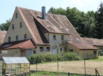
Randonnée A pied Eckental - Rundweg Ebach – Lillinghof - Photo
A pied 11.633
Km
GUIDE+

A pied

Facile
Eckental, Bavière, Landkreis Erlangen-Höchstadt, Allemagne
11,6 km | 15,4 km-effort
3h 29min
281 m
281 m
Oui
SityTrail - itinéraires balisés pédestres

• Randonnée créée par Gemeinde Eckental. abgeschlossen (Dez. 2012 by cycling_zno)
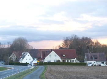
Randonnée A pied Eckental - Rundweg Herpersdorf – Ebach - Photo
A pied 13.631
Km
GUIDE+

A pied

Facile
Eckental, Bavière, Landkreis Erlangen-Höchstadt, Allemagne
13,6 km | 16,3 km-effort
3h 42min
203 m
201 m
Oui
SityTrail - itinéraires balisés pédestres

• Randonnée créée par Gemeinde Eckental. abgeschlossen (Dez. 2012 by cycling_zno)

Randonnée A pied Eckental - Rundweg Herpersdorf – Hormesweiher – Ebach - Photo
A pied 10.346
Km
GUIDE+

A pied

Facile
Eckental, Bavière, Landkreis Erlangen-Höchstadt, Allemagne
10,3 km | 12,4 km-effort
2h 49min
155 m
157 m
Oui
SityTrail - itinéraires balisés pédestres

• Randonnée créée par Gemeinde Eckental. abgeschlossen (Dez. 2012 by cycling_zno) Symbole: Weiße 6 auf rotem Grund
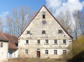
Randonnée A pied Eckental - Wanderweg Rundweg Oberschöllenbach - Photo
A pied 7.328
Km
GUIDE+

A pied

Facile
Eckental, Bavière, Landkreis Erlangen-Höchstadt, Allemagne
7,3 km | 8,4 km-effort
1h 54min
79 m
82 m
Oui
SityTrail - itinéraires balisés pédestres

• Randonnée créée par Gemeinde Eckental. abgeschlossen (Dez. 2012 by cycling_zno)
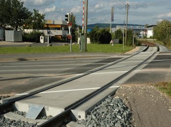
Randonnée A pied Eckental - Wanderweg Rundweg um Forth - Photo
A pied 11.411
Km
GUIDE+

A pied

Facile
Eckental, Bavière, Landkreis Erlangen-Höchstadt, Allemagne
11,4 km | 13,8 km-effort
3h 8min
182 m
183 m
Oui
SityTrail - itinéraires balisés pédestres

• Randonnée créée par Gemeinde Eckental. abgeschlossen (Dez. 2012 by cycling_zno) Symbole: Weiße 5 auf rotem Grund
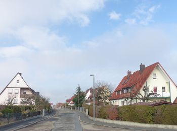
Randonnée A pied Eckental - Rundweg um Eckenhaid - Photo
A pied 9.239
Km
GUIDE+

A pied

Facile
Eckental, Bavière, Landkreis Erlangen-Höchstadt, Allemagne
9,2 km | 11,1 km-effort
2h 30min
137 m
133 m
Oui
SityTrail - itinéraires balisés pédestres

• Randonnée créée par Gemeinde Eckental. abgeschlossen (Dez. 2012 by cycling_zno) Symbole: Weiße 4 auf rotem Grund

Randonnée A pied Eckental - Wanderrundweg um Eschenau - Photo
A pied 8.351
Km
GUIDE+

A pied

Facile
Eckental, Bavière, Landkreis Erlangen-Höchstadt, Allemagne
8,4 km | 10 km-effort
2h 16min
124 m
126 m
Oui
SityTrail - itinéraires balisés pédestres

• Randonnée créée par Gemeinde Eckental. abgeschlossen (Dez. 2012 by cycling_zno)

7 randonnées affichées sur 7

Application GPS de randonnée GRATUITE

Logo SityTrail SityTrail

IGN / Instituts géographiques

Télécharger SityTrail sur l'App Store Télécharger SityTrail sur Google Play

Logo SityTrail SityTrail World

Le monde est à vous

Télécharger SityTrail sur l'App Store Télécharger SityTrail sur Google Play Télécharger SityTrail sur Huawei AppGallery

Activités

Fermer
Mes abonnements