Landkreis Schweinfurt, Bavière : Les meilleures randonnées, itinéraires, parcours, balades et promenades

Landkreis Schweinfurt : découvrez les meilleures randonnées : 40 pédestres. Tous ces circuits, parcours, itinéraires et activités en plein air sont disponibles dans nos applications SityTrail pour smartphones et tablettes.


Les meilleurs parcours (40)
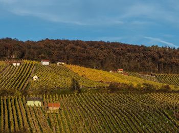
Randonnée A pied Donnersdorf - Falkenberger Hüttentour - Photo
A pied 3.654
Km
GUIDE+

A pied

Facile
Donnersdorf, Bavière, Landkreis Schweinfurt, Allemagne
3,7 km | 5 km-effort
1h 7min
98 m
98 m
Oui
SityTrail - itinéraires balisés pédestres

• Randonnée créée par Gemeinde Gerolzhofen. Symbole: Grüne Hütte auf weißem Hindergrund
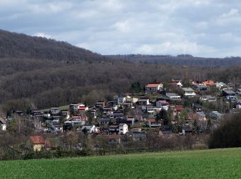
Randonnée A pied Bürgerwald - Rundweg Michelau M6 - Photo
A pied 4.351
Km
GUIDE+

A pied

Facile
Bürgerwald, Bavière, Landkreis Schweinfurt, Allemagne
4,4 km | 5,8 km-effort
1h 18min
134 m
26 m
Non
SityTrail - itinéraires balisés pédestres

• Randonnée créée par Gemeinde Michelau i.Steigerwald. Symbole: Schwarze M6 auf gelbem Hintergrund
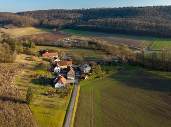
Randonnée A pied Stollbergerforst - Rundweg Oberschwarzach O1 - Photo
A pied 3.213
Km
GUIDE+

A pied

Facile
Stollbergerforst, Bavière, Landkreis Schweinfurt, Allemagne
3,2 km | 4,8 km-effort
1h 5min
114 m
125 m
Non
SityTrail - itinéraires balisés pédestres

• Randonnée créée par Gemeinde Oberschwarzach. Symbole: Schwarze O 1 auf gelbem Hintergrund

Randonnée A pied Oberschwarzach - Rundweg Stollburg - Photo
A pied 3.746
Km
GUIDE+

A pied

Facile
Oberschwarzach, Bavière, Landkreis Schweinfurt, Allemagne
3,7 km | 4,7 km-effort
1h 3min
70 m
70 m
Oui
SityTrail - itinéraires balisés pédestres

• Symbole: Stilisierte Burgruine auf hellblauem Grund

Randonnée A pied Oberschwarzach - Rundweg Waldläufer O2 - Photo
A pied 10.196
Km
GUIDE+

A pied

Facile
Oberschwarzach, Bavière, Landkreis Schweinfurt, Allemagne
10,2 km | 13,4 km-effort
3h 2min
239 m
239 m
Oui
SityTrail - itinéraires balisés pédestres

• Randonnée créée par Gemeinde Oberschwarzach. Teilweise auch Markierung "Schwarze O2 auf gelbem Hintergrund" Symbole...
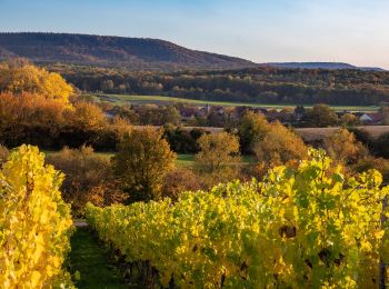
Randonnée A pied Oberschwarzach - Rundweg O5 - Photo
A pied 5.863
Km
GUIDE+

A pied

Facile
Oberschwarzach, Bavière, Landkreis Schweinfurt, Allemagne
5,9 km | 8,2 km-effort
1h 52min
194 m
129 m
Non
SityTrail - itinéraires balisés pédestres

• Randonnée créée par Gemeinde Oberschwarzach. Symbole: Schwarze O 5 auf gelbem Hintergrund
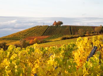
Randonnée A pied Oberschwarzach - Rundweg Hörnle - Photo
A pied 4.075
Km
GUIDE+

A pied

Facile
Oberschwarzach, Bavière, Landkreis Schweinfurt, Allemagne
4,1 km | 4,8 km-effort
1h 5min
44 m
82 m
Non
SityTrail - itinéraires balisés pédestres

• Symbole: Stilisierte pyramidenförmige Kirche auf hellblauem Grund

Randonnée A pied Geiersberg - Rundweg Oberschwarzach O4 - Photo
A pied 6.009
Km
GUIDE+

A pied

Facile
Geiersberg, Bavière, Landkreis Schweinfurt, Allemagne
6 km | 7,2 km-effort
1h 37min
61 m
162 m
Non
SityTrail - itinéraires balisés pédestres

• Randonnée créée par Gemeinde Oberschwarzach. Symbole: Schwarze O 4 auf gelbem Hintergrund
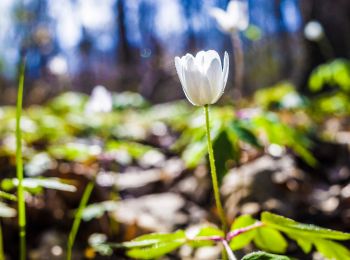
Randonnée A pied Schonungen - Mainberger Runde - Photo
A pied 4.22
Km
GUIDE+

A pied

Facile
Schonungen, Bavière, Landkreis Schweinfurt, Allemagne
4,2 km | 6,2 km-effort
1h 24min
148 m
145 m
Oui
SityTrail - itinéraires balisés pédestres

• Symbole: letter 'M' in a circle with an arrowhead at NW position
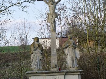
Randonnée A pied Dittelbrunn - Römerweg - Photo
A pied 7.135
Km
GUIDE+

A pied

Facile
Dittelbrunn, Bavière, Landkreis Schweinfurt, Allemagne
7,1 km | 9,3 km-effort
2h 6min
156 m
170 m
Non
SityTrail - itinéraires balisés pédestres

• Symbole: light brown shoe on dark brown dot
Randonnée A pied Grafenrheinfeld - Verwunschen-Verwunschen - Photo
A pied 6.756
Km
GUIDE+

A pied

Facile
Grafenrheinfeld, Bavière, Landkreis Schweinfurt, Allemagne
6,8 km | 7,6 km-effort
1h 43min
66 m
63 m
Oui
SityTrail - itinéraires balisés pédestres

• Symbole: Weiße, laublose Weide auf blau/grünem Hintergrund
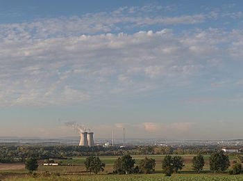
Randonnée A pied Röthlein - Heidenfelds Grüne Lunge - Photo
A pied 4.196
Km
GUIDE+

A pied

Facile
Röthlein, Bavière, Landkreis Schweinfurt, Allemagne
4,2 km | 4,8 km-effort
1h 5min
49 m
25 m
Non
SityTrail - itinéraires balisés pédestres

• Symbole: green dot on white ground
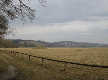
Randonnée A pied Sennfeld - Igel-Weg - Photo
A pied 4.804
Km
GUIDE+

A pied

Facile
Sennfeld, Bavière, Landkreis Schweinfurt, Allemagne
4,8 km | 5,3 km-effort
1h 12min
37 m
35 m
Oui
SityTrail - itinéraires balisés pédestres

• Symbole: Black silhouette of an hedgehog on green background
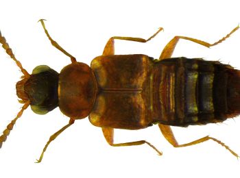
Randonnée A pied Sennfeld - Sennfelder Seenkranz - Photo
A pied 9.06
Km
GUIDE+

A pied

Facile
Sennfeld, Bavière, Landkreis Schweinfurt, Allemagne
9,1 km | 10,2 km-effort
2h 19min
86 m
86 m
Oui
SityTrail - itinéraires balisés pédestres

• Symbole: Red circle on white background

Randonnée A pied Sennfeld - Hase-Weg - Photo
A pied 3.198
Km
GUIDE+

A pied

Facile
Sennfeld, Bavière, Landkreis Schweinfurt, Allemagne
3,2 km | 3,6 km-effort
48min
28 m
26 m
Oui
SityTrail - itinéraires balisés pédestres

• Symbole: Black silhouette of an jackrabbit on orange background

Randonnée A pied Dingolshausen - Rundweg Michelau M1 - Photo
A pied 3.96
Km
GUIDE+

A pied

Facile
Dingolshausen, Bavière, Landkreis Schweinfurt, Allemagne
4 km | 5,8 km-effort
1h 19min
141 m
143 m
Oui
SityTrail - itinéraires balisés pédestres

• Randonnée créée par Gemeinde Michelau i.Steigerwald. Symbole: Schwarze M1 auf gelbem Hintergrund
Randonnée A pied Schonungen - Naturpfad - Photo
A pied 3.435
Km
GUIDE+

A pied

Facile
Schonungen, Bavière, Landkreis Schweinfurt, Allemagne
3,4 km | 4,2 km-effort
57min
57 m
57 m
Non
SityTrail - itinéraires balisés pédestres

• Randonnée créée par Naturfreunde Ortsgruppe Schweinfurt. Symbole: Blaues "N" in schwarzem Kreis auf weißem Hintergrund
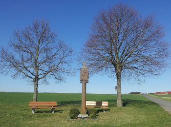
Randonnée A pied Kolitzheim - Lindacher Land-Erlebnisweg - Photo
A pied 4.592
Km
GUIDE+

A pied

Facile
Kolitzheim, Bavière, Landkreis Schweinfurt, Allemagne
4,6 km | 5,3 km-effort
1h 12min
53 m
56 m
Oui
SityTrail - itinéraires balisés pédestres

• Der Wegverlauf ist identisch mit dem "Lindacher Kreuzpfad"
Randonnée A pied Schonungen - Apfelweg - Photo
A pied 13.436
Km
GUIDE+

A pied

Facile
Schonungen, Bavière, Landkreis Schweinfurt, Allemagne
13,4 km | 18,4 km-effort
4h 11min
376 m
371 m
Non
SityTrail - itinéraires balisés pédestres

• Randonnée créée par VGL Schonungen. Symbole: Ein grüner, blauer und gelber Apfel auf weißem Grund.

Randonnée A pied Schonungen - AV Grün Route 3 - Photo
A pied 19.393
Km
GUIDE+

A pied

Moyen
Schonungen, Bavière, Landkreis Schweinfurt, Allemagne
19,4 km | 26 km-effort
5h 56min
537 m
415 m
Non
SityTrail - itinéraires balisés pédestres

• Randonnée créée par DAV Sektion Schweinfurt. Symbole: AV Grün auf Weiß

20 randonnées affichées sur 40

Fermer
Mes abonnements