Hiltpoltstein, Landkreis Forchheim : Les meilleures randonnées, itinéraires, parcours, balades et promenades

Hiltpoltstein : découvrez les meilleures randonnées : 6 pédestres. Tous ces circuits, parcours, itinéraires et activités en plein air sont disponibles dans nos applications SityTrail pour smartphones et tablettes.


Les meilleurs parcours (6)
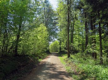
Randonnée A pied Hiltpoltstein - Gräfenberger GrünGelb - Photo
A pied 9.437
Km
PRO

A pied

Facile
Hiltpoltstein, Bavière, Landkreis Forchheim, Allemagne
9,4 km | 11,9 km-effort
2h 42min
185 m
186 m
Oui
SityTrail - itinéraires balisés pédestres

• Randonnée créée par unknown. abgeschlossen (Feb. 2012 by cycling_zno)
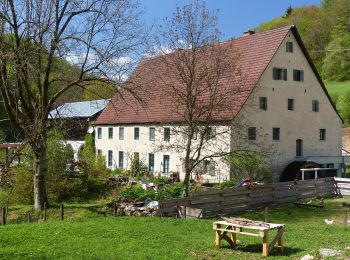
Randonnée A pied Hiltpoltstein - Großenohe Grünring - Photo
A pied 5.076
Km
PRO

A pied

Facile
Hiltpoltstein, Bavière, Landkreis Forchheim, Allemagne
5,1 km | 7,1 km-effort
1h 36min
152 m
145 m
Oui
SityTrail - itinéraires balisés pédestres

• Randonnée créée par nicht bekannt. abgeschlossen (Feb. 2013 by cycling_zno) Symbole: Grüner Ring auf weißem Grund
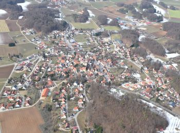
Randonnée A pied Hiltpoltstein - Hiltpoltstein
A pied 6.948
Km
PRO

A pied

Facile
Hiltpoltstein, Bavière, Landkreis Forchheim, Allemagne
6,9 km | 9,7 km-effort
2h 12min
207 m
201 m
Oui
SityTrail - itinéraires balisés pédestres

• Randonnée créée par nicht bekannt. abgeschlossen (Feb. 2013 by cycling_zno) Symbole: Roter Ring auf weißem Grund

Randonnée A pied Hiltpoltstein - Rundweg Thuisbrunn 3 Zinnen - Photo
A pied 5.188
Km
PRO

A pied

Facile
Hiltpoltstein, Bavière, Landkreis Forchheim, Allemagne
5,2 km | 6,9 km-effort
1h 34min
145 m
79 m
Non
SityTrail - itinéraires balisés pédestres

• Randonnée créée par nicht bekannt. abgeschlossen (Feb. 2013 by cycling_zno) Symbole: Blauer senkrechter Balken auf ...
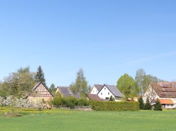
Randonnée A pied Hiltpoltstein - Hiltpoltstein Rundwanderweg - Photo
A pied 5.636
Km
PRO

A pied

Facile
Hiltpoltstein, Bavière, Landkreis Forchheim, Allemagne
5,6 km | 7,6 km-effort
1h 43min
154 m
122 m
Non
SityTrail - itinéraires balisés pédestres

• Randonnée créée par nicht bekannt. abgeschlossen (Feb. 2013 by cycling_zno) Symbole: Rotes liegendes Andreaskreuz a...
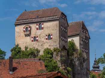
Randonnée A pied Hiltpoltstein - Hiltpoltstein Gelbring - Photo
A pied 3.168
Km
PRO

A pied

Facile
Hiltpoltstein, Bavière, Landkreis Forchheim, Allemagne
3,2 km | 4,5 km-effort
1h 1min
100 m
112 m
Oui
SityTrail - itinéraires balisés pédestres

• Randonnée créée par nicht bekannt. abgeschlossen (Feb. 2013 by cycling_zno) Symbole: Gelber Ring auf weißem Grund

6 randonnées affichées sur 6

Application GPS de randonnée GRATUITE

Logo SityTrail SityTrail

IGN / Instituts géographiques

Télécharger SityTrail sur l'App Store Télécharger SityTrail sur Google Play

Logo SityTrail SityTrail World

Le monde est à vous

Télécharger SityTrail sur l'App Store Télécharger SityTrail sur Google Play Télécharger SityTrail sur Huawei AppGallery

Activités

Fermer
Mes abonnements