Rothenbucher Forst, Landkreis Aschaffenburg : Les meilleures randonnées, itinéraires, parcours, balades et promenades

Rothenbucher Forst : découvrez les meilleures randonnées : 7 pédestres. Tous ces circuits, parcours, itinéraires et activités en plein air sont disponibles dans nos applications SityTrail pour smartphones et tablettes.


Les meilleurs parcours (7)
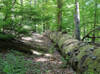
Randonnée A pied Rothenbucher Forst - Nordic Walking 4 Blau Weibersbrunn - Photo
A pied 4.816
Km
GUIDE+

A pied

Facile
Rothenbucher Forst, Bavière, Landkreis Aschaffenburg, Allemagne
4,8 km | 5,9 km-effort
1h 21min
88 m
74 m
Non
SityTrail - itinéraires balisés pédestres

• Randonnée créée par Spessartbund. Symbole: Blauer Walker und 4 auf weißem Grund

Randonnée A pied Rothenbucher Forst - Nordic Walking 3 Lila Weibersbrunn - Photo
A pied 4.816
Km
GUIDE+

A pied

Facile
Rothenbucher Forst, Bavière, Landkreis Aschaffenburg, Allemagne
4,8 km | 5,9 km-effort
1h 21min
88 m
74 m
Non
SityTrail - itinéraires balisés pédestres

• Randonnée créée par Spessartbund.
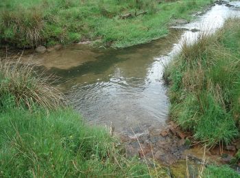
Randonnée A pied Rothenbucher Forst - Ortswanderweg Rothenbuch 2 - Photo
A pied 7.37
Km
GUIDE+

A pied

Facile
Rothenbucher Forst, Bavière, Landkreis Aschaffenburg, Allemagne
7,4 km | 8,6 km-effort
1h 57min
97 m
92 m
Non
SityTrail - itinéraires balisés pédestres

• Randonnée créée par Spessartbund. Symbole: Schwarzes R2 auf weißem Grund

Randonnée A pied Rothenbucher Forst - Ortswanderweg Rothenbuch 3 - Photo
A pied 8.86
Km
GUIDE+

A pied

Facile
Rothenbucher Forst, Bavière, Landkreis Aschaffenburg, Allemagne
8,9 km | 11,2 km-effort
2h 33min
179 m
180 m
Oui
SityTrail - itinéraires balisés pédestres

• Randonnée créée par Spessartbund. Symbole: Schwarzes R3 auf weißem Grund
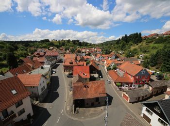
Randonnée A pied Rothenbucher Forst - Nordic Walking 2 Gelb Weibersbrunn - Photo
A pied 5.882
Km
GUIDE+

A pied

Facile
Rothenbucher Forst, Bavière, Landkreis Aschaffenburg, Allemagne
5,9 km | 7 km-effort
1h 35min
76 m
115 m
Non
SityTrail - itinéraires balisés pédestres

• Randonnée créée par Spessartbund. Symbole: Gelber Walker und 2 auf weißem Grund

Randonnée A pied Rothenbucher Forst - Schwarzer Keiler, Rundwanderweg Weibersbrunn - Photo
A pied 3.037
Km
GUIDE+

A pied

Facile
Rothenbucher Forst, Bavière, Landkreis Aschaffenburg, Allemagne
3 km | 4,5 km-effort
1h 1min
111 m
111 m
Oui
SityTrail - itinéraires balisés pédestres

• Randonnée créée par Naturpark Spessart. Symbole: Schwarzes Wildschwein auf weißem Grund

Randonnée A pied Rothenbucher Forst - Ortswanderweg Rothenbuch 1 - Photo
A pied 5.149
Km
GUIDE+

A pied

Facile
Rothenbucher Forst, Bavière, Landkreis Aschaffenburg, Allemagne
5,1 km | 6,5 km-effort
1h 28min
98 m
100 m
Non
SityTrail - itinéraires balisés pédestres

• Randonnée créée par Spessartbund. Symbole: Schwarzes R1 auf weißem Grund

7 randonnées affichées sur 7

Application GPS de randonnée GRATUITE

Logo SityTrail SityTrail

IGN / Instituts géographiques

Télécharger SityTrail sur l'App Store Télécharger SityTrail sur Google Play

Logo SityTrail SityTrail World

Le monde est à vous

Télécharger SityTrail sur l'App Store Télécharger SityTrail sur Google Play Télécharger SityTrail sur Huawei AppGallery

Activités

Fermer
Mes abonnements