


11,8 km | 14,9 km-effort
Hösbach : découvrez les meilleures randonnées : 12 pédestres. Tous ces circuits, parcours, itinéraires et activités en plein air sont disponibles dans nos applications SityTrail pour smartphones et tablettes.
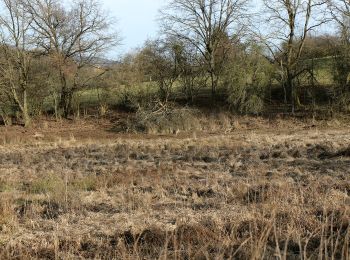
A pied


• Randonnée créée par Archäologisches Spessartprojekt.
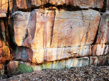
A pied
• Randonnée créée par Wanderverein Sailauf Spessartfreunde.
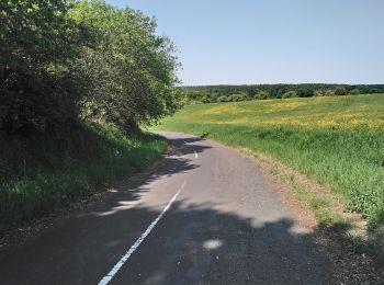
A pied
• Symbole: roter "Bloopiffer" auf weißem Grund = pfeiffender Jung
A pied
• Randonnée créée par Naturpark Spessart.
A pied
• Randonnée créée par Naturpark Spessart. Symbole: Roter Schmetterling auf weißem Grund
A pied
• Randonnée créée par Naturpark Spessart. Symbole: blauer Pilz auf weißem Grund
A pied
• Randonnée créée par Archäologisches Spessartprojekt. Symbole: Gelbes EU-Schiffchen auf blauem Grund
A pied
• Randonnée créée par Spessartbund. Symbole: Schwarzes K auf weissem Grund
A pied
• Randonnée créée par Verein für Heimatpflege Wenighösbach. Symbole: Schwarzer Pfeil auf gelbem Grund
A pied
• Randonnée créée par Verein für Heimatpflege Wenighösbach. Symbole: Weißer Pfeil auf rotem Grund
A pied
• Randonnée créée par Verein für Heimatpflege Wenighösbach. Symbole: Weißer Pfeil auf grünem Grund

A pied
• Symbole: schwarze H2 auf weißem Grund
12 randonnées affichées sur 12
Application GPS de randonnée GRATUITE
 SityTrail
IGN / Instituts géographiques
SityTrail World
Le monde est à vous