![](/images/other/stat-length.png)
Alzenau, Landkreis Aschaffenburg : Les meilleures randonnées, itinéraires, parcours, balades et promenades
Alzenau : découvrez les meilleures randonnées : 14 pédestres. Tous ces circuits, parcours, itinéraires et activités en plein air sont disponibles dans nos applications SityTrail pour smartphones et tablettes.
Les meilleurs parcours (14)
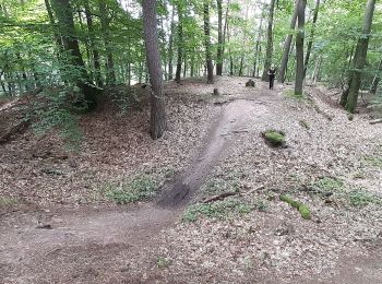
![Randonnée A pied Alzenau - Freigerichter Bund Alzenau 3 - Photo](https://media.geolcdn.com/t/350/260/6fbb36e6-43a9-496b-879f-130d095dbf39.jpeg&format=jpg&maxdim=2)
![A pied A pied](https://static1.geolcdn.com/sitytour/trail-icons/100.png)
Km
A pied
![](/images/other/stat-length.png)
![](https://static1.geolcdn.com/siteimages/upload/files/1508320355ic_sort_den_pos_24dp.png)
![](https://static1.geolcdn.com/siteimages/upload/files/1508320355ic_sort_den_neg_24dp.png)
![](https://static1.geolcdn.com/siteimages/upload/files/16400158638029165_repeat_loop_refresh_sync_direction_icon.png)
• Randonnée créée par Freigerichter Bund Alzenau e.V.. Symbole: Foto Ludwigsturm und blaue 3
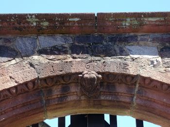
![Randonnée A pied Alzenau - Roter Hase, Rundwanderweg Hörstein - Photo](https://media.geolcdn.com/t/350/260/9b49062c-efca-4e33-9627-1430eefac146.jpeg&format=jpg&maxdim=2)
![A pied A pied](https://static1.geolcdn.com/sitytour/trail-icons/100.png)
Km
A pied
![](/images/other/stat-length.png)
![](https://static1.geolcdn.com/siteimages/upload/files/1508320355ic_sort_den_pos_24dp.png)
![](https://static1.geolcdn.com/siteimages/upload/files/1508320355ic_sort_den_neg_24dp.png)
![](https://static1.geolcdn.com/siteimages/upload/files/16400158638029165_repeat_loop_refresh_sync_direction_icon.png)
• Randonnée créée par Naturpark Spessart. Symbole: Roter Hase auf weißem Grund
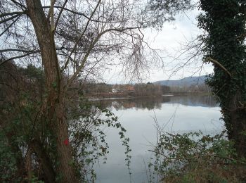
![Randonnée A pied Alzenau - Ortswanderweg Alzenau 5 - Photo](https://media.geolcdn.com/t/350/260/257704aa-91a7-4097-9572-ec15af1673ae.jpeg&format=jpg&maxdim=2)
![A pied A pied](https://static1.geolcdn.com/sitytour/trail-icons/100.png)
Km
A pied
![](/images/other/stat-length.png)
![](https://static1.geolcdn.com/siteimages/upload/files/1508320355ic_sort_den_pos_24dp.png)
![](https://static1.geolcdn.com/siteimages/upload/files/1508320355ic_sort_den_neg_24dp.png)
![](https://static1.geolcdn.com/siteimages/upload/files/16400158638029165_repeat_loop_refresh_sync_direction_icon.png)
• Randonnée créée par Spessartbund. Symbole: Schwarze A5 auf weißem Grund
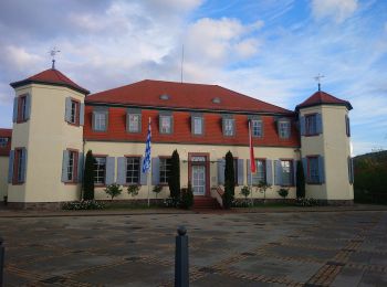
![Randonnée A pied Alzenau - Willy Windisch Weg - Photo](https://media.geolcdn.com/t/350/260/1bf1e90d-58a9-497a-89ed-a0a607d0cc13.jpeg&format=jpg&maxdim=2)
![A pied A pied](https://static1.geolcdn.com/sitytour/trail-icons/100.png)
Km
A pied
![](/images/other/stat-length.png)
![](https://static1.geolcdn.com/siteimages/upload/files/1508320355ic_sort_den_pos_24dp.png)
![](https://static1.geolcdn.com/siteimages/upload/files/1508320355ic_sort_den_neg_24dp.png)
![](https://static1.geolcdn.com/siteimages/upload/files/16400158638029165_repeat_loop_refresh_sync_direction_icon.png)
• Randonnée créée par Spessartbund. Symbole: Weißes Schild mit schwarzer Schrift. Oben "Alzenau", darunter ein großes ...
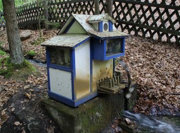
![Randonnée A pied Alzenau - Ortswanderweg Alzenau 6 - Photo](https://media.geolcdn.com/t/350/260/7d03b839-bebf-4325-8b7c-8cb104d05654.jpeg&format=jpg&maxdim=2)
![A pied A pied](https://static1.geolcdn.com/sitytour/trail-icons/100.png)
Km
A pied
![](/images/other/stat-length.png)
![](https://static1.geolcdn.com/siteimages/upload/files/1508320355ic_sort_den_pos_24dp.png)
![](https://static1.geolcdn.com/siteimages/upload/files/1508320355ic_sort_den_neg_24dp.png)
![](https://static1.geolcdn.com/siteimages/upload/files/16400158638029165_repeat_loop_refresh_sync_direction_icon.png)
• Randonnée créée par Spessartbund. Symbole: Weißes Schild mit schwarzer Schrift. Oben "Alzenau", darunter ein großes ...
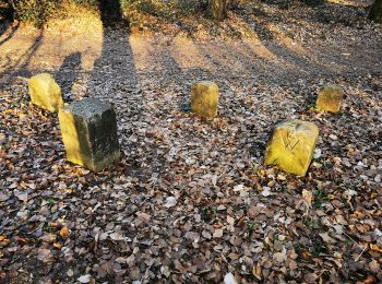
![Randonnée A pied Alzenau - Ortswanderweg Alzenau 1 - Photo](https://media.geolcdn.com/t/350/260/91425280-ab27-4454-8251-48a315abcbeb.jpeg&format=jpg&maxdim=2)
![A pied A pied](https://static1.geolcdn.com/sitytour/trail-icons/100.png)
Km
A pied
![](/images/other/stat-length.png)
![](https://static1.geolcdn.com/siteimages/upload/files/1508320355ic_sort_den_pos_24dp.png)
![](https://static1.geolcdn.com/siteimages/upload/files/1508320355ic_sort_den_neg_24dp.png)
![](https://static1.geolcdn.com/siteimages/upload/files/16400158638029165_repeat_loop_refresh_sync_direction_icon.png)
• Randonnée créée par Spessartbund. Symbole: Weißes Schild mit schwarzer Schrift. Oben "Alzenau", darunter ein großes ...
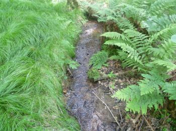
![Randonnée A pied Alzenau - Kulturweg Alzenau 3 - Photo](https://media.geolcdn.com/t/350/260/47a0c46c-fed9-45e3-8db6-19bc954930c6.jpeg&format=jpg&maxdim=2)
![A pied A pied](https://static1.geolcdn.com/sitytour/trail-icons/100.png)
Km
A pied
![](/images/other/stat-length.png)
![](https://static1.geolcdn.com/siteimages/upload/files/1508320355ic_sort_den_pos_24dp.png)
![](https://static1.geolcdn.com/siteimages/upload/files/1508320355ic_sort_den_neg_24dp.png)
![](https://static1.geolcdn.com/siteimages/upload/files/16400158638029165_repeat_loop_refresh_sync_direction_icon.png)
• Randonnée créée par Archäologisches Spessartprojekt. Symbole: Gelbes EU-Schiffchen auf blauem Grund Site web: http...
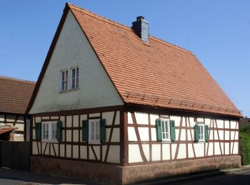
![Randonnée A pied Alzenau - Kulturweg Alzenau 1 - Photo](https://media.geolcdn.com/t/350/260/e73a2d51-fc53-4229-9aa3-58fd945bdc22.jpeg&format=jpg&maxdim=2)
![A pied A pied](https://static1.geolcdn.com/sitytour/trail-icons/100.png)
Km
A pied
![](/images/other/stat-length.png)
![](https://static1.geolcdn.com/siteimages/upload/files/1508320355ic_sort_den_pos_24dp.png)
![](https://static1.geolcdn.com/siteimages/upload/files/1508320355ic_sort_den_neg_24dp.png)
![](https://static1.geolcdn.com/siteimages/upload/files/16400158638029165_repeat_loop_refresh_sync_direction_icon.png)
• Randonnée créée par Archäologisches Spessartprojekt. Symbole: Gelbes EU-Schiffchen auf blauem Grund Site web: http...
![Randonnée A pied Alzenau - Kulturweg Alzenau 2 - Photo](https://media.geolcdn.com/t/350/260/5e16483c-27b2-4184-8c6d-2d2d4b63f582.jpeg&format=jpg&maxdim=2)
![A pied A pied](https://static1.geolcdn.com/sitytour/trail-icons/100.png)
Km
A pied
![](/images/other/stat-length.png)
![](https://static1.geolcdn.com/siteimages/upload/files/1508320355ic_sort_den_pos_24dp.png)
![](https://static1.geolcdn.com/siteimages/upload/files/1508320355ic_sort_den_neg_24dp.png)
![](https://static1.geolcdn.com/siteimages/upload/files/16400158638029165_repeat_loop_refresh_sync_direction_icon.png)
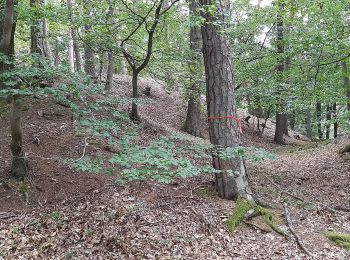
• Randonnée créée par Archäologisches Spessartprojekt. Symbole: Gelbes EU-Schiffchen auf blauem Grund Site web: http...
![Randonnée A pied Alzenau - Blaues Eichenblatt, Rundwanderweg Albstadt (Wanderparkplatz Wehmig) - Photo](https://media.geolcdn.com/t/350/260/d15a3f3c-e16f-4551-87fe-b906999e673c.jpeg&format=jpg&maxdim=2)
![A pied A pied](https://static1.geolcdn.com/sitytour/trail-icons/100.png)
Km
A pied
![](/images/other/stat-length.png)
![](https://static1.geolcdn.com/siteimages/upload/files/1508320355ic_sort_den_pos_24dp.png)
![](https://static1.geolcdn.com/siteimages/upload/files/1508320355ic_sort_den_neg_24dp.png)
![](https://static1.geolcdn.com/siteimages/upload/files/16400158638029165_repeat_loop_refresh_sync_direction_icon.png)
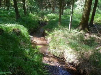
• Randonnée créée par Naturpark Spessart. Symbole: blaues Eichenblatt auf weissem Grund
![Randonnée A pied Alzenau - Roter Schmetterling, Rundwanderweg Alzenau - Wanderparkplatz Mühlmark - Photo](https://media.geolcdn.com/t/350/260/91425280-ab27-4454-8251-48a315abcbeb.jpeg&format=jpg&maxdim=2)
![A pied A pied](https://static1.geolcdn.com/sitytour/trail-icons/100.png)
Km
A pied
![](/images/other/stat-length.png)
![](https://static1.geolcdn.com/siteimages/upload/files/1508320355ic_sort_den_pos_24dp.png)
![](https://static1.geolcdn.com/siteimages/upload/files/1508320355ic_sort_den_neg_24dp.png)
![](https://static1.geolcdn.com/siteimages/upload/files/16400158638029165_repeat_loop_refresh_sync_direction_icon.png)
• Randonnée créée par Naturpark Spessart. WW Fuchs wurde durch roten Schmetterling ersetzt Symbole: Roter Schmetterli...
![Randonnée A pied Alzenau - Schwarzer Keiler, Rundwanderweg Alzenau - Wanderparkplatz Mühlmark - Photo](https://media.geolcdn.com/t/350/260/813f5f2f-1680-427f-bd37-099d79b6670d.jpeg&format=jpg&maxdim=2)
![A pied A pied](https://static1.geolcdn.com/sitytour/trail-icons/100.png)
Km
A pied
![](/images/other/stat-length.png)
![](https://static1.geolcdn.com/siteimages/upload/files/1508320355ic_sort_den_pos_24dp.png)
![](https://static1.geolcdn.com/siteimages/upload/files/1508320355ic_sort_den_neg_24dp.png)
![](https://static1.geolcdn.com/siteimages/upload/files/16400158638029165_repeat_loop_refresh_sync_direction_icon.png)
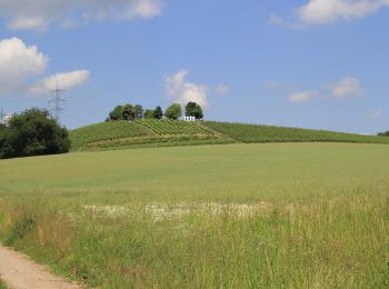
• Randonnée créée par Naturpark Spessart. Symbole: Schwarzer Keiler auf weissem Grund
![Randonnée A pied Alzenau - Wasserlos - Rundwanderweg Milan - Photo](https://media.geolcdn.com/t/350/260/1e3ffdae-9c96-437a-9eca-7ead3460ef68.jpeg&format=jpg&maxdim=2)
![A pied A pied](https://static1.geolcdn.com/sitytour/trail-icons/100.png)
Km
A pied
![](/images/other/stat-length.png)
![](https://static1.geolcdn.com/siteimages/upload/files/1508320355ic_sort_den_pos_24dp.png)
![](https://static1.geolcdn.com/siteimages/upload/files/1508320355ic_sort_den_neg_24dp.png)
![](https://static1.geolcdn.com/siteimages/upload/files/16400158638029165_repeat_loop_refresh_sync_direction_icon.png)
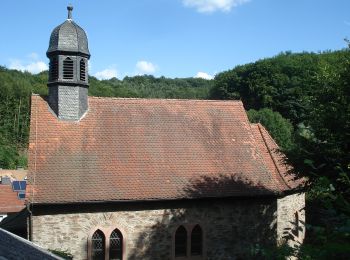
• Randonnée créée par Naturpark Spessart. Symbole: roter Milan auf weissem Grund
![Randonnée A pied Alzenau - Schwarzer Fuchs, Rundwanderweg Hemsbacher Kreuz - Photo](https://media.geolcdn.com/t/350/260/45e07280-756d-42f0-9dc9-fb8b4a7c30cc.jpeg&format=jpg&maxdim=2)
![A pied A pied](https://static1.geolcdn.com/sitytour/trail-icons/100.png)
Km
A pied
![](/images/other/stat-length.png)
![](https://static1.geolcdn.com/siteimages/upload/files/1508320355ic_sort_den_pos_24dp.png)
![](https://static1.geolcdn.com/siteimages/upload/files/1508320355ic_sort_den_neg_24dp.png)
![](https://static1.geolcdn.com/siteimages/upload/files/16400158638029165_repeat_loop_refresh_sync_direction_icon.png)
• Randonnée créée par Naturpark Spessart. Symbole: Schwarzer Fuchs auf weissem Grund
14 randonnées affichées sur 14
Application GPS de randonnée GRATUITE