


5,4 km | 6,9 km-effort
Eschau : découvrez les meilleures randonnées : 9 pédestres. Tous ces circuits, parcours, itinéraires et activités en plein air sont disponibles dans nos applications SityTrail pour smartphones et tablettes.
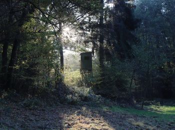
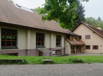
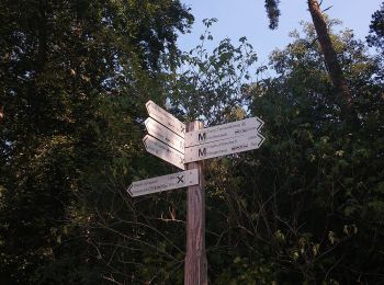
A pied


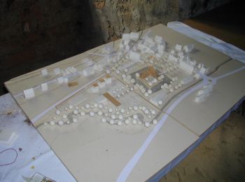
• Randonnée créée par Naturpark Spessart.
A pied
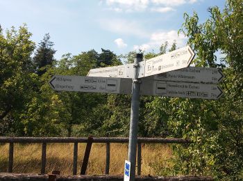
• Randonnée créée par Spessartbund. Symbole: Schwarzes E1 auf weißem Grund
A pied
• Randonnée créée par Naturpark Spessart. Symbole: Schwarzes Wildschwein auf weißem Grund
A pied
• Randonnée créée par Archäologisches Spessartprojekt. Symbole: Gelbes EU-Schiffchen auf blauem Grund Site web: http...
A pied
• Randonnée créée par Archäologisches Spessartprojekt. Symbole: Gelbes EU-Schiffchen auf blauem Grund Site web: http...
A pied
• Randonnée créée par Spessarträuberland. Symbole: Lachender Räuberkopf
A pied
• Randonnée créée par Spessartbund. Symbole: Schwarze E2 auf weißem Grund
A pied
• Randonnée créée par Naturpark Spessart. Symbole: Blauer Pilz auf weißem Grund

A pied
• Randonnée créée par Naturpark Spessart. Symbole: Roter Eisvogel auf weißem Grund
9 randonnées affichées sur 9
Application GPS de randonnée GRATUITE
 SityTrail
IGN / Instituts géographiques
SityTrail World
Le monde est à vous