Ahorntal, Landkreis Bayreuth : Les meilleures randonnées, itinéraires, parcours, balades et promenades

Ahorntal : découvrez les meilleures randonnées : 9 pédestres. Tous ces circuits, parcours, itinéraires et activités en plein air sont disponibles dans nos applications SityTrail pour smartphones et tablettes.


Les meilleurs parcours (9)
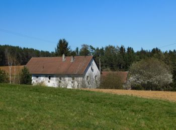
Randonnée A pied Ahorntal - Zu Höhlenbär und Millionär - Photo
A pied 8.276
Km
GUIDE+

A pied

Facile
Ahorntal, Bavière, Landkreis Bayreuth, Allemagne
8,3 km | 11,6 km-effort
2h 38min
251 m
251 m
Oui
SityTrail - itinéraires balisés pédestres

• Randonnée créée par Gemeinde Ahorntal. abgeschlossen (März 2014, by cycling_zno) Symbole: Blauer Ring auf weißem Gr...
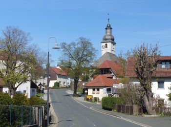
Randonnée A pied Ahorntal - Rundweg Ahorntal (Roter Ring) - Photo
A pied 3.964
Km
GUIDE+

A pied

Facile
Ahorntal, Bavière, Landkreis Bayreuth, Allemagne
4 km | 5,5 km-effort
1h 14min
116 m
107 m
Non
SityTrail - itinéraires balisés pédestres

• Randonnée créée par Gemeinde Ahorntal. abeschossen (Feb. 2014, by cycling_zno) Symbole: Roter Ring auf weißem Grund
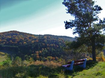
Randonnée A pied Ahorntal - Rundweg Ahorntal (Schwarzer Ring) - Photo
A pied 6.214
Km
GUIDE+

A pied

Facile
Ahorntal, Bavière, Landkreis Bayreuth, Allemagne
6,2 km | 8,8 km-effort
1h 59min
194 m
191 m
Oui
SityTrail - itinéraires balisés pédestres

• Randonnée créée par Gemeinde Ahorntal. abeschossen (Feb. 2014, by cycling_zno) Symbole: Schwarzer Ring auf weißem G...
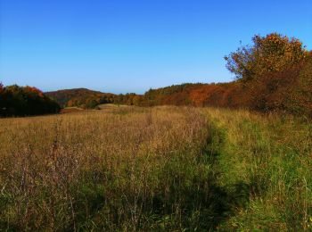
Randonnée A pied Ahorntal - Rundweg Ahorntal (Grüner Ring) - Photo
A pied 5.303
Km
GUIDE+

A pied

Facile
Ahorntal, Bavière, Landkreis Bayreuth, Allemagne
5,3 km | 7,6 km-effort
1h 43min
173 m
174 m
Oui
SityTrail - itinéraires balisés pédestres

• Randonnée créée par Gemeinde Ahorntal. abeschossen (Feb. 2014, by cycling_zno) Symbole: Grüner Ring auf weißem Grund
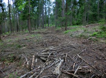
Randonnée A pied Ahorntal - Muthmannsreuth Rundwanderweg Nr. 5 - Photo
A pied 12.145
Km
GUIDE+

A pied

Facile
Ahorntal, Bavière, Landkreis Bayreuth, Allemagne
12,1 km | 15,6 km-effort
3h 32min
257 m
251 m
Oui
SityTrail - itinéraires balisés pédestres

• Randonnée créée par Fränkische Schweiz Verein. Symbole: weiße 5 auf grünem Grund
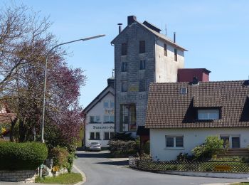
Randonnée A pied Ahorntal - Kleiner Ahorntal Rundweg - Photo
A pied 4.224
Km
GUIDE+

A pied

Facile
Ahorntal, Bavière, Landkreis Bayreuth, Allemagne
4,2 km | 5,3 km-effort
1h 11min
66 m
111 m
Non
SityTrail - itinéraires balisés pédestres

• Randonnée créée par Gemeinde Ahorntal. Wiederspruch tags name-description Symbole: Rotes Ahornblatt

Randonnée A pied Ahorntal - Großer Ahorntalrundweg - Photo
A pied 22.511
Km
GUIDE+

A pied

Difficile
Ahorntal, Bavière, Landkreis Bayreuth, Allemagne
23 km | 32 km-effort
7h 9min
674 m
681 m
Oui
SityTrail - itinéraires balisés pédestres

• Randonnée créée par Gemeinde Ahorntal. Symbole: Grünes Ahornblatt

Randonnée A pied Ahorntal - Ahorntaler Bierwanderweg - Photo
A pied 11.49
Km
GUIDE+

A pied

Facile
Ahorntal, Bavière, Landkreis Bayreuth, Allemagne
11,5 km | 14,7 km-effort
3h 20min
227 m
294 m
Non
SityTrail - itinéraires balisés pédestres

Randonnée A pied Ahorntal - Rundweg Tüchersfeld-Zauppenberg - Photo
A pied 14.103
Km
GUIDE+

A pied

Facile
Ahorntal, Bavière, Landkreis Bayreuth, Allemagne
14,1 km | 19 km-effort
4h 18min
365 m
365 m
Oui
SityTrail - itinéraires balisés pédestres

• Randonnée créée par Fränkische-Schweiz-Verein. abeschossen (April 2013 by cycling_zno) Symbole: Grüner Punkt auf we...

9 randonnées affichées sur 9

Application GPS de randonnée GRATUITE

Logo SityTrail SityTrail

IGN / Instituts géographiques

Télécharger SityTrail sur l'App Store Télécharger SityTrail sur Google Play

Logo SityTrail SityTrail World

Le monde est à vous

Télécharger SityTrail sur l'App Store Télécharger SityTrail sur Google Play Télécharger SityTrail sur Huawei AppGallery

Activités

Fermer
Mes abonnements