


3,2 km | 4 km-effort
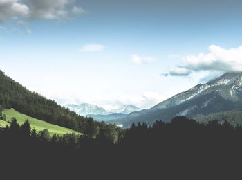
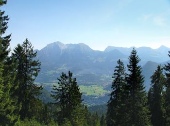
Ramsau bei Berchtesgaden : découvrez les meilleures randonnées : 18 pédestres. Tous ces circuits, parcours, itinéraires et activités en plein air sont disponibles dans nos applications SityTrail pour smartphones et tablettes.
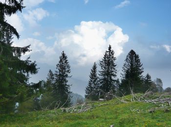
A pied


• Randonnée créée par Gemeinde Ramsau.
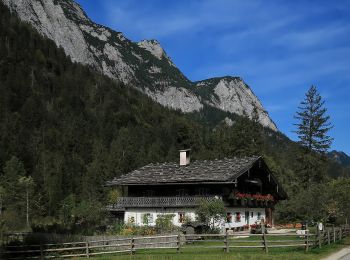
A pied
• Randonnée créée par Gemeinde Ramsau.
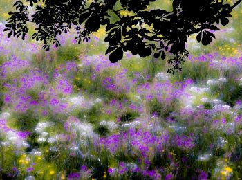
A pied
• Randonnée créée par Gemeinde Ramsau.
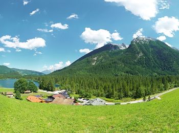
A pied
• Randonnée créée par Gemeinde Ramsau.
A pied
• Randonnée créée par Gemeinde Ramsau.
A pied
• Randonnée créée par Gemeinde Ramsau.
A pied
• Randonnée créée par Gemeinde Ramsau.
A pied
• Randonnée créée par Nationalpark Berchtesgaden;Gemeinde Ramsau.
A pied
• Randonnée créée par Gemeinde Ramsau;Gemeinde Schönau a.Königssee.
A pied
• Randonnée créée par Nationalpark Berchtesgaden.
A pied
• Randonnée créée par Gemeinde Ramsau.
A pied
A pied
• Randonnée créée par Gemeinde Ramsau.
A pied
• Randonnée créée par Gemeinde Ramsau;Gemeinde Schönau a. Königsseee.
A pied
A pied
A pied

A pied
• added by CR

 24.151
sport
19 randonnées affichées sur 19
Application GPS de randonnée GRATUITE
 SityTrail
IGN / Instituts géographiques
SityTrail World
Le monde est à vous