![](/images/other/stat-length.png)
Most, Ústecký kraj : Les meilleures randonnées, itinéraires, parcours, balades et promenades
Most : découvrez les meilleures randonnées : 2 pédestres. Tous ces circuits, parcours, itinéraires et activités en plein air sont disponibles dans nos applications SityTrail pour smartphones et tablettes.
Les meilleurs parcours (2)
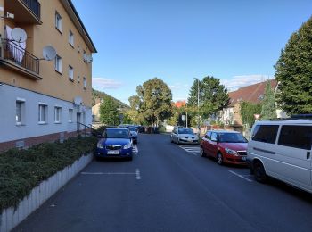
![Randonnée A pied Most - [M] Po stopách magistra Edwarda Kelleyho - Photo](https://media.geolcdn.com/t/350/260/5df09c52-675f-49ac-827d-5202529fcf32.jpeg&format=jpg&maxdim=2)
![A pied A pied](https://static1.geolcdn.com/sitytour/trail-icons/100.png)
Km
#1 - [M] Po stopách magistra Edwarda Kelleyho
A pied
Facile
Most,
Severozápad,
Ústecký kraj,
République Tchèque
![](/images/other/stat-length.png)
3,9 km | 5,1 km-effort
1h 9min
![](https://static1.geolcdn.com/siteimages/upload/files/1508320355ic_sort_den_pos_24dp.png)
91 m
![](https://static1.geolcdn.com/siteimages/upload/files/1508320355ic_sort_den_neg_24dp.png)
92 m
![](https://static1.geolcdn.com/siteimages/upload/files/16400158638029165_repeat_loop_refresh_sync_direction_icon.png)
Oui
SityTrail - itinéraires balisés pédestres
• Randonnée créée par cz:KČT.
![Randonnée A pied Most - Mostecký okruh - Photo](https://media.geolcdn.com/t/350/260/855d5da6-0e1e-4d98-bdfd-6624950d15e1.jpeg&format=jpg&maxdim=2)
![A pied A pied](https://static1.geolcdn.com/sitytour/trail-icons/100.png)
Km
#2 - Mostecký okruh
A pied
Facile
Most,
Severozápad,
Ústecký kraj,
République Tchèque
![](/images/other/stat-length.png)
13,8 km | 18,3 km-effort
4h 9min
![](https://static1.geolcdn.com/siteimages/upload/files/1508320355ic_sort_den_pos_24dp.png)
339 m
![](https://static1.geolcdn.com/siteimages/upload/files/1508320355ic_sort_den_neg_24dp.png)
331 m
![](https://static1.geolcdn.com/siteimages/upload/files/16400158638029165_repeat_loop_refresh_sync_direction_icon.png)
Oui
SityTrail - itinéraires balisés pédestres
• Randonnée créée par cz:KČT.
2 randonnées affichées sur 2
Application GPS de randonnée GRATUITE