


3,4 km | 4,5 km-effort
Hasliberg : découvrez les meilleures randonnées : 4 pédestres. Tous ces circuits, parcours, itinéraires et activités en plein air sont disponibles dans nos applications SityTrail pour smartphones et tablettes.
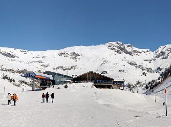
A pied


• Site web: https://www.meiringen-hasliberg.ch/en/Summer/Muggestutz
A pied
• Randonnée créée par Bergbahnen Meiringen-Hasliberg AG. Site web: https://www.meiringen-hasliberg.ch/de/Sommer/Wand...
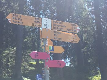
A pied

Autre activité
•

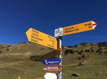
Marche
•
Autre activité
•
6 randonnées affichées sur 6
Application GPS de randonnée GRATUITE
 SityTrail
IGN / Instituts géographiques
SityTrail World
Le monde est à vous