


35 km | 53 km-effort
District du Jura-Nord vaudois : découvrez les meilleures randonnées : 121 pédestres, 15 à vélo ou VTT et 1 parcours équestres. Tous ces circuits, parcours, itinéraires et activités en plein air sont disponibles dans nos applications SityTrail pour smartphones et tablettes.

V.T.T.


•
A pied
• Symbole: losange jaune
A pied
• fixme - fixme Symbole: losange jaune
A pied
• Symbole: gelbe Raute
A pied
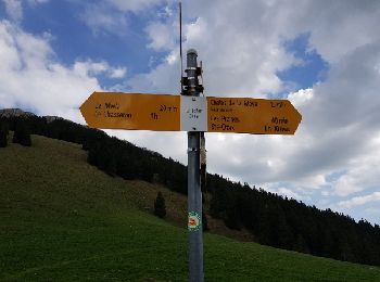
• Les Rochats-La Baronne Symbole: losange jaune
A pied
• Randonnée créée par Association Vaudoise du Toursime Pédestre.
A pied
• Symbole: losange jaune
A pied
• Symbole: losange jaune
A pied
• Symbole: losange jaune
A pied
• Symbole: gelbe Raute
A pied
• Randonnée créée par Wanderland Schweiz.
A pied
• Randonnée créée par Association Vaudoise de Tourisme Pédestre.
Marche
A pied
A pied
A pied
A pied
A pied
Raquettes à neige
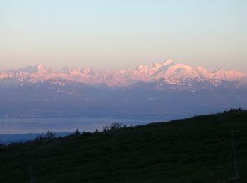
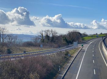
• journee commencant par brouillard et soleil ensuite.tour du lac de Brenet
Marche
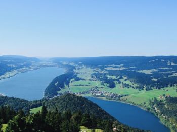
• rando en boucle
20 randonnées affichées sur 326
Application GPS de randonnée GRATUITE
 SityTrail
IGN / Instituts géographiques
SityTrail World
Le monde est à vous