


4,5 km | 8,2 km-effort
Courrendlin : découvrez les meilleures randonnées : 3 pédestres et 3 à vélo ou VTT. Tous ces circuits, parcours, itinéraires et activités en plein air sont disponibles dans nos applications SityTrail pour smartphones et tablettes.
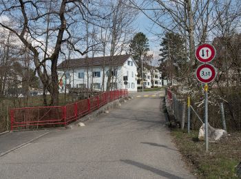
A pied


• Symbole: gelbe Raute
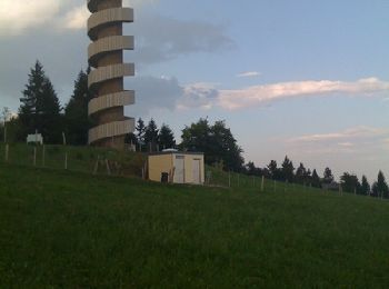
A pied
• Symbole: gelbe Raute
A pied
• Symbole: gelbe Raute

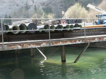
V.T.T.
• Petit tour sur Courcelon
V.T.T.

Autre activité
•
V.T.T.
7 randonnées affichées sur 7
Application GPS de randonnée GRATUITE
 SityTrail
IGN / Instituts géographiques
SityTrail World
Le monde est à vous