


3,4 km | 4,6 km-effort
Argovie : découvrez les meilleures randonnées : 250 pédestres et 17 à vélo ou VTT. Tous ces circuits, parcours, itinéraires et activités en plein air sont disponibles dans nos applications SityTrail pour smartphones et tablettes.
A pied


• Symbole: Rundweg in gelber Schrift auf blauem Hintergrund
A pied
• Symbole: Rundweg Gemeinde Böbikon in gelber Schrift auf blauem Hintergrund
A pied
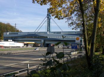
• Welcome to the culture and spa town! Baden is ready and presents itself for the upcoming opening of the FORTYSEVEN we...
A pied
• Welcome to the culture and spa town! Baden is ready and presents itself for the upcoming opening of the FORTYSEVEN we...
A pied
• Symbole: Schwarze 1 auf gelbem Hintergrund
A pied
• Symbole: Schwarze 2 auf orangem Hintergrund
A pied
• Symbole: Weisse 5 auf violettem Hintergrund

A pied
• Symbole: Weisse 7 auf blauem Hintergrund
A pied
• Randonnée créée par Zürcher Wanderwege ZAW. Symbole: gelbe Raute
A pied
• Symbole: gelbe Raute
A pied
• Randonnée créée par Zürcher Wanderwege ZAW. Symbole: gelber Diamant
A pied
• Symbole: gelbe Raute
A pied
• Randonnée créée par Verein Aargauer Wanderwege. Baden - Spittelau Symbole: gelbe Raute
A pied
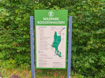
• Roggenhausen - Schönenwerd Symbole: gelbe Raute
A pied
• Symbole: gelbe Raute
A pied
• Randonnée créée par Verein Aargauer Wanderwege. Ennetturgi Holzbrücke - Steinenbüel Symbole: gelber Diamant
A pied
• Symbole: gelbe Raute
A pied
• Mooshalden - Eggetsacher Symbole: gelbe Raute
A pied
• Randonnée créée par Zürcher Wanderwege ZAW. Symbole: gelbe Raute
A pied
• Symbole: gelbe Raute
20 randonnées affichées sur 302
Application GPS de randonnée GRATUITE
 SityTrail
IGN / Instituts géographiques
SityTrail World
Le monde est à vous