


16,8 km | 26 km-effort
Bezirk Thal : découvrez les meilleures randonnées : 16 pédestres et 2 à vélo ou VTT. Tous ces circuits, parcours, itinéraires et activités en plein air sont disponibles dans nos applications SityTrail pour smartphones et tablettes.
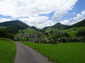
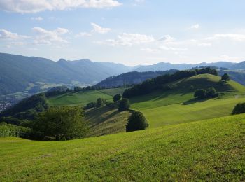
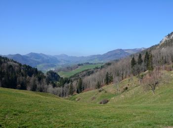
A pied


• Randonnée créée par Wanderland Schweiz.
A pied
• Schwängimatt - Klus Symbole: gelbe Raute
A pied
• Bereten Linde - Holderbank Symbole: gelber Diamant (waagrecht)
A pied
• Bereten Linde - fixme Symbole: gelber Diamant (waagrecht)
A pied
• Symbole: gelber Diamant (waagrecht)
A pied
• Symbole: gelber Diamant (waagrecht)
A pied
• Symbole: gelber Diamant (waagrecht)
A pied
• Bereten Linde - St. Wolfgang Symbole: gelber Diamant (waagrecht)
A pied
• Symbole: gelber Diamant (waagrecht)
A pied
• Symbole: gelber Diamant (waagrecht)

A pied
• Symbole: gelber Diamant (waagrecht)
A pied
• Symbole: gelbe Raute

Marche
•
Marche
•
Autre activité
•
Autre activité
• Crémines - Gr. Malsenberger - Harzer
Autre activité
• Crémines - charrière de Crémines - chemin des sabotiers - descente par la charrière de Grandval
Marche
•
Marche
•

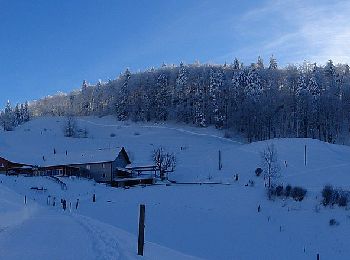
Sports d'hiver
• Trimbach-Rotenfluh-Oberfrich...
20 randonnées affichées sur 24
Application GPS de randonnée GRATUITE
 SityTrail
IGN / Instituts géographiques
SityTrail World
Le monde est à vous