![](/images/other/stat-length.png)
- Randonnées
- Outdoor
- Belgique
- Flandre
- Brabant flamand
- Glabbeek
- Bunsbeek
Bunsbeek, Glabbeek : Les meilleures randonnées, itinéraires, parcours, balades et promenades
Bunsbeek : découvrez les meilleures randonnées : 2 pédestres. Tous ces circuits, parcours, itinéraires et activités en plein air sont disponibles dans nos applications SityTrail pour smartphones et tablettes.
Les meilleurs parcours (2)
![Randonnée Marche Glabbeek - Bunsbeek - Photo](https://media.geolcdn.com/t/350/260/b2e2ff19-8a66-4e81-b8d2-c48db9b856b3.jpg&format=jpg&maxdim=2)
![Marche Marche](https://static1.geolcdn.com/sitytour/trail-icons/101.png)
Km
Marche
![](/images/other/stat-length.png)
![](https://static1.geolcdn.com/siteimages/upload/files/1508320355ic_sort_den_pos_24dp.png)
![](https://static1.geolcdn.com/siteimages/upload/files/1508320355ic_sort_den_neg_24dp.png)
![](https://static1.geolcdn.com/siteimages/upload/files/16400158638029165_repeat_loop_refresh_sync_direction_icon.png)
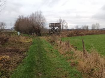
• Promenade par dejoli chemin et sentier. En hiver et par temps pluvieux, prévoyez des bonnes chaussures de marche étan...
![Randonnée A pied Glabbeek - Boeslinterwandelpad - Photo](https://media.geolcdn.com/t/350/260/ext.jpg?maxdim=2&url=https%3A%2F%2Fstatic1.geolcdn.com%2Fsiteimages%2Fupload%2Ffiles%2F1545311037marcheuse_200dpi.jpg)
![A pied A pied](https://static1.geolcdn.com/sitytour/trail-icons/100.png)
Km
A pied
![](/images/other/stat-length.png)
![](https://static1.geolcdn.com/siteimages/upload/files/1508320355ic_sort_den_pos_24dp.png)
![](https://static1.geolcdn.com/siteimages/upload/files/1508320355ic_sort_den_neg_24dp.png)
![](https://static1.geolcdn.com/siteimages/upload/files/16400158638029165_repeat_loop_refresh_sync_direction_icon.png)
• Randonnée créée par Toerisme Vlaams-Brabant. Symbole: hexagon
2 randonnées affichées sur 2
Application GPS de randonnée GRATUITE