


11,9 km | 13,3 km-effort
Heers : découvrez les meilleures randonnées : 36 pédestres et 6 à vélo ou VTT. Tous ces circuits, parcours, itinéraires et activités en plein air sont disponibles dans nos applications SityTrail pour smartphones et tablettes.
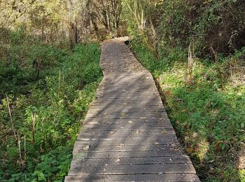
A pied


• Randonnée créée par Regionaal Landschap Haspengouw & Voeren. Symbole: hexagon
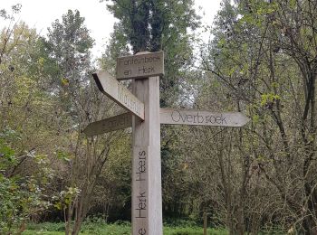
A pied
• Randonnée créée par Regionaal Landschap Haspengouw & Voeren. Symbole: dot
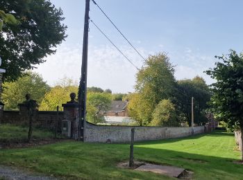
A pied
• Randonnée créée par RLH Regionaal Landschap Haspengouw & Voeren.
A pied
• Randonnée créée par Regionaal Landschap Haspengouw & Voeren. Symbole: dot
A pied
• Randonnée créée par Regionaal Landschap Haspengouw & Voeren. Symbole: triangle
A pied
• Symbole: triangle
Marche
• Parcours champêtre à travers les vergers. 2 boucles : 8,1 km vers Groot-Gelmen et 6,9 km vers Gelinden. 📌 Bistro t' ...
Marche
• D/A : Gelindenstraat 131 (Café Hubbe bij Jordy - fermé le lundi). Parcours de 2 boucles : 8,6 km et 8,2km.
Marche
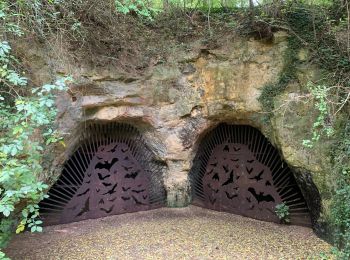
Marche
• Promenade dans les campagnes à Vechmaal : paysage riche en histoire, fermes et grottes remplies de chauve-souris. 👣...
Marche
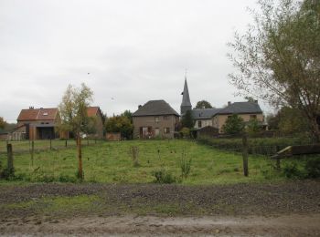
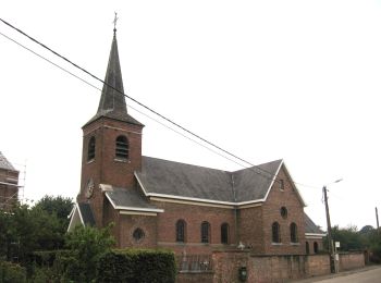
• Promenade bucolique entre vergers et patrimoine religieux. Magnifique. 👣 Distance : 4km (+ 2km) - balisage rond ora...
Marche
• 🅿️ Départ et Parking: Herberg De Horne Brugstraat 30, 3870 Vechmaal ▶️ Suivre la balise « triangle rouge » D’autres...
Vélo de route
Marche
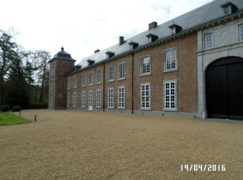
• Paysages hesbignons typiques. Promenade agréable entre château, vergers, champs et bois. 👣 Distance : 3km - balisag...
Marche
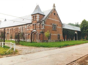
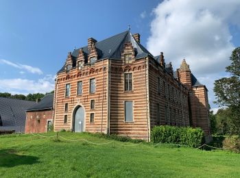
• Campagne et vieux château. Très jolie petite balade dans le village et ses campagnes. 👣 Distance : 2,5km - balisage...

Marche
• Départ = Mettekovenstraat (église)
Marche
• BELLE
Marche
• Départ gare des bus Brugstraat à Vechmaal . possibilité de ravitaillement à Borgloon . plus ou moins 1 km AR.
Marche
• Chemin de terre et chapelle aux vents
Marche
• Départ = Mettekovenstraat (église)
20 randonnées affichées sur 44
Application GPS de randonnée GRATUITE
 SityTrail
IGN / Instituts géographiques
SityTrail World
Le monde est à vous