


5,1 km | 5,4 km-effort
Lede : découvrez les meilleures randonnées : 12 pédestres. Tous ces circuits, parcours, itinéraires et activités en plein air sont disponibles dans nos applications SityTrail pour smartphones et tablettes.
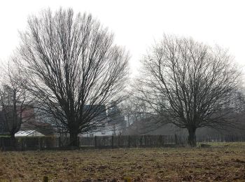
A pied


• Randonnée créée par Natuurpunt.
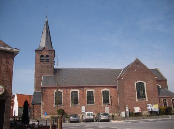
A pied
• Randonnée créée par Toerisme Oost-Vlaanderen.
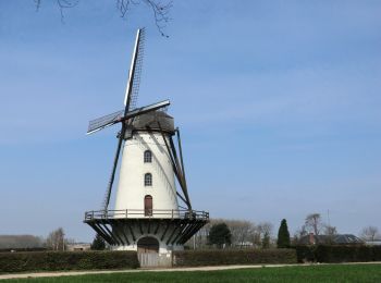
A pied
• Randonnée créée par Toerisme Oost-Vlaanderen.
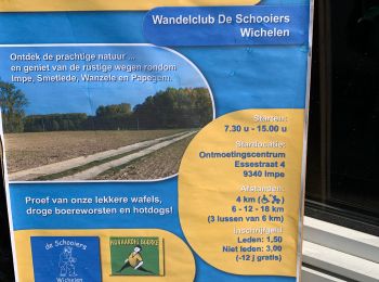
A pied
• Randonnée créée par Toerisme Oost-Vlaanderen.
Marche
Marche

Marche
• More information on : http://www.wandelroutes.org
Marche
•
Marche
Marche
Marche
Marche
12 randonnées affichées sur 12
 SityTrail