


15,9 km | 16,8 km-effort
La Panne : découvrez les meilleures randonnées : 55 pédestres, 15 à vélo ou VTT et 1 parcours équestres. Tous ces circuits, parcours, itinéraires et activités en plein air sont disponibles dans nos applications SityTrail pour smartphones et tablettes.

V.T.T.


• Jeudi 13 juin 2024 : TOTEMUS vélo à DE PANNE Tentative avortée du TOTEMUS "Vélo" à DE PANNE. Redécouverte du vélo à a...
Marche
• Mercredi 12 juin 2024 : TOTEMUS pédestre à DE PANNE. Sous un beau soleil et une température de 16-17 degrés, nous avo...
A pied
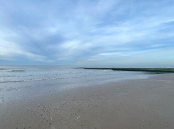
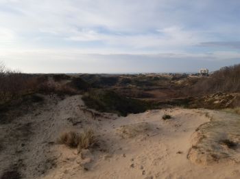
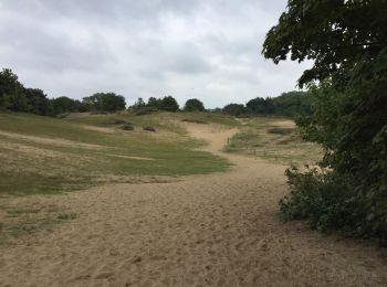
• Ontdek dit schitterende natuurreservaat met bos, duinen, gras en strand.

Marche
• More information on GPStracks.nl : http://www.gpstracks.nl
 33.512
sport
Marche
Marche

Marche

Marche
Autre activité
Marche
Marche
• En tram puis
 8.978
8.978
sport
8.978
sport
Marche
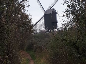
• uniquement foret dune. circuit pimkies.
Marche
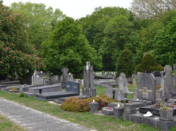
• Balade forêt . dunes. cimetière militaire

A pied
A pied
A pied
Marche
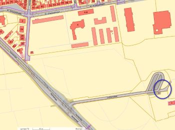
• la panne
20 randonnées affichées sur 76
Application GPS de randonnée GRATUITE
 SityTrail
IGN / Instituts géographiques
SityTrail World
Le monde est à vous