


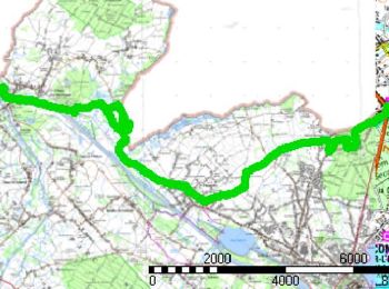
25 km | 27 km-effort
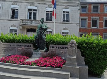
Bon-Secours : découvrez les meilleures randonnées : 35 pédestres, 1 à vélo ou VTT et 3 parcours équestres. Tous ces circuits, parcours, itinéraires et activités en plein air sont disponibles dans nos applications SityTrail pour smartphones et tablettes.

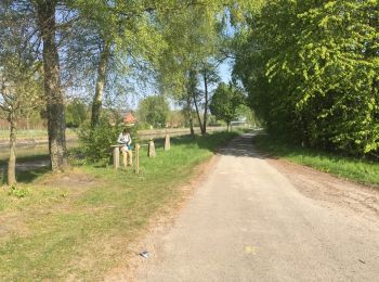
Marche


• Au départ de Bon-Secours cette randonnée rejoint Vieux-Condé par les monts de Péruwelz et Copiémont, Hergnies et l'ét...
Marche
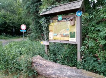
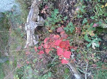
• Forêts Portion limite impraticable vu ronces orties épineux
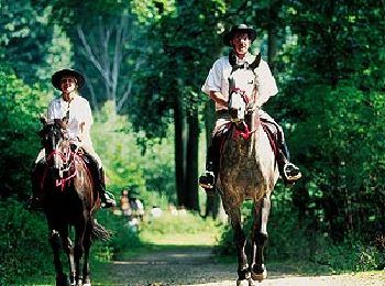
Cheval
• Randonnée créée par Wallonie Picarde (Antenne Tournai) . Bienvenue pour cette plongée dans le massif forestier de Bo...

A pied
• Randonnée créée par Wallonie Picarde (Antenne Tournai) . Promenons-nous dans la forêt de Bon-Secours… et le long des...

A pied
• Randonnée créée par Wallonie Picarde (Antenne Tournai) . Cette balade vous emmène à la découverte de la forêt domani...
Marche
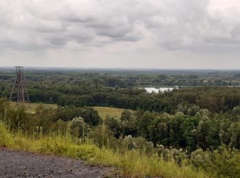
• Une randonnée dans le Valenciennois, à la rencontre du pays minier. Au travers de la forêt domaniale de Bon Secours,...
Marche
Marche
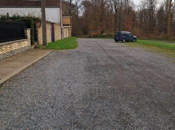
• RDV parking de la rue de la forêt, toujours libre ou parking de la maison du parc, souvent occupé. suivez l'applicat...
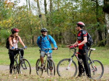
V.T.T.
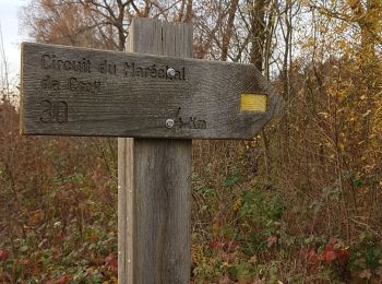
• Randonnée créée par Wallonie Picarde (Antenne Tournai) . Les douze kilomètres de ce circuit franco-belge permettent ...

Marche
•
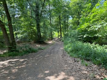
Ce circuit forestier au cœur de la forêt de Bon-Secours est témoin par ses chemins empierrés ...
Marche
• Départ de Bon- Secours Belgique frontière. Entrez dans le bois de Bonsecours arrivée au château de l'Eermitage, se di...
Marche nordique
• attention chasse côté France le dimanche
Marche nordique
• Départ rue de la Forêt
Marche
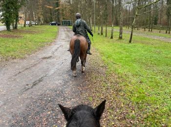
Randonnée équestre
• rituele wandeling
Marche

 4.213
4.213
sport
• Petit tour au bois de Bonsecours
Marche
Marche

Marche
• Balade dans les bois
20 randonnées affichées sur 42
Application GPS de randonnée GRATUITE
 SityTrail
IGN / Instituts géographiques
SityTrail World
Le monde est à vous