


16,7 km | 22 km-effort
Robertville : découvrez les meilleures randonnées : 653 pédestres, 49 à vélo ou VTT et 2 parcours équestres. Tous ces circuits, parcours, itinéraires et activités en plein air sont disponibles dans nos applications SityTrail pour smartphones et tablettes.

Marche


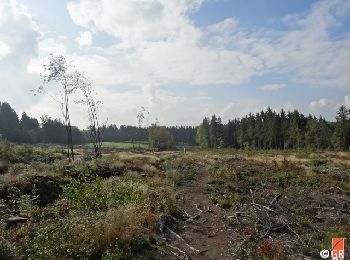
• Cette boucle à l’allure parfois « vosgienne », prenant son départ du Centre Nature de Botrange, vous fera découvrir d...
Marche
• Cette boucle à l’allure parfois « vosgienne », prenant son départ du Centre Nature de Botrange, vous fera découvrir d...
Marche
• Cette boucle à l’allure parfois « vosgienne », prenant son départ du Centre Nature de Botrange, vous fera découvrir d...
Marche
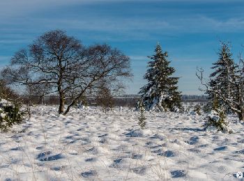
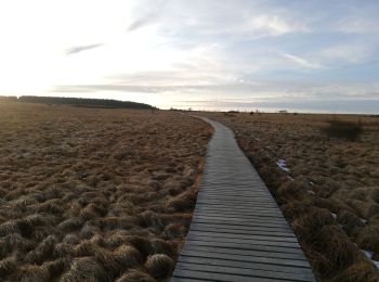
• Outre la grande étendue fagnarde bien connue du grand public, constituée par la Grande Fange et la Fagne wallonne à l...

Marche
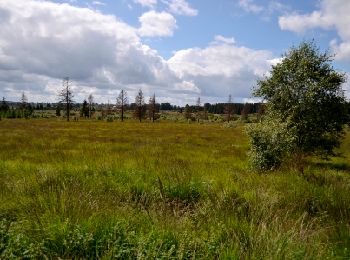
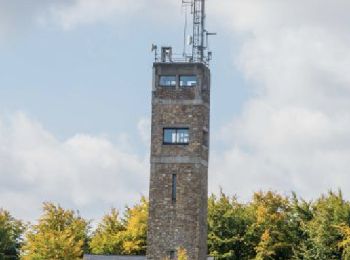
• Cette balade, accessible aux poussettes, vous emmène jusqu’à la Fagne Wallonne puis le toit de la Belgique, le signal...
Marche
• Petite balade accessible aux poussettes à la découverte de la Fagne Wallonne et du centre nature de Botrange.
Marche
• Voici une balade variée d'une longueur de 10km. Elle combine deux sites touristiques, Fagne Wallonne et signal de Bot...
Marche
• 9km 6 semaines après avoir recousu le tendon quadriceps gauche ...yahooooooo
Marche
• Très sympathique randonnée de 2 heures
Marche
Marche
Marche
• Cette jolie balade de 11 km (2H40) contournbe Bosfagne (suite à la fermeture récente des caillebotis), remonte un sen...
Marche
Vélo
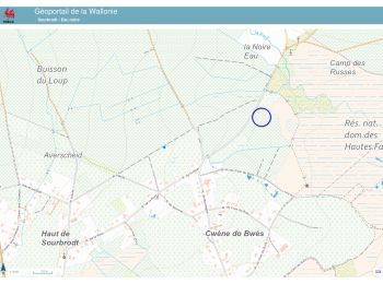
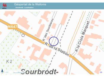
• Le départ se fait à l’ancienne gare de Sourbrodt pour rejoindre, via la Vennbahn, le point-nœud 44. Entre Sourbrodt e...
Marche
Marche
• Départ signal de botrange Balisage rectangle bleu Chaussures de marche indispensables
Vélo de route
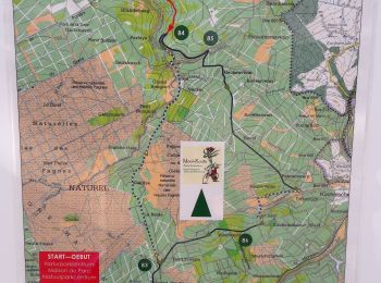
• Circuit vélo au départ de la maison du Parc-Botrange éditée par l'office de tourisme de la Province de Liège Vous dev...
Marche
Marche
• Lundi 14 octobre 2014 : Balade hebdomadaire des "BIOS". C'est avec un peu de retard, causé par des négligences de GPS...
Marche
• Lundi 8 juillet 2024 : Balade hebdomadaire des "BIOS". C'est sous une météo favorable à la marche, temps sec et tempé...
20 randonnées affichées sur 722
Application GPS de randonnée GRATUITE
 SityTrail
IGN / Instituts géographiques
SityTrail World
Le monde est à vous