


3,5 km | 8,9 km-effort
Gemeinde Neustift im Stubaital : découvrez les meilleures randonnées : 5 pédestres. Tous ces circuits, parcours, itinéraires et activités en plein air sont disponibles dans nos applications SityTrail pour smartphones et tablettes.
A pied


• Symbole: Gelbe Wegweisschilder mit blauer Welle und schwarzer Schrift

Marche
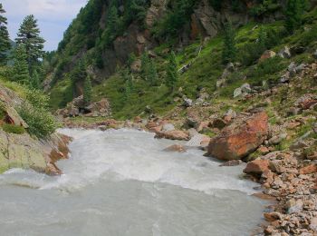
• belle balade à 6
Marche
• Vom Elfer zur Elferhütte, dann den Panoramaweg entlang runter zur Karalm, dann zur Pinnisalm und mit dem Hüttentaxi z...
Marche

 9.696
9.696
sport
Marche
6 randonnées affichées sur 6
Application GPS de randonnée GRATUITE
 SityTrail
IGN / Instituts géographiques
SityTrail World
Le monde est à vous