![](/images/other/stat-length.png)
- Randonnées
- Outdoor
- Autriche
- Burgenland
- Bezirk Mattersburg
Bezirk Mattersburg, Burgenland : Les meilleures randonnées, itinéraires, parcours, balades et promenades
Bezirk Mattersburg : découvrez les meilleures randonnées : 55 pédestres. Tous ces circuits, parcours, itinéraires et activités en plein air sont disponibles dans nos applications SityTrail pour smartphones et tablettes.
Les meilleurs parcours (55)
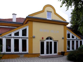
![Randonnée A pied Gemeinde Pöttsching - Pöttsching - GH zur Grenze - Neudörfl Bhf - Photo](https://media.geolcdn.com/t/350/260/47758762-96a0-4196-a467-2670a49a9dd3.jpeg&format=jpg&maxdim=2)
![A pied A pied](https://static1.geolcdn.com/sitytour/trail-icons/100.png)
Km
A pied
![](/images/other/stat-length.png)
![](https://static1.geolcdn.com/siteimages/upload/files/1508320355ic_sort_den_pos_24dp.png)
![](https://static1.geolcdn.com/siteimages/upload/files/1508320355ic_sort_den_neg_24dp.png)
![](https://static1.geolcdn.com/siteimages/upload/files/16400158638029165_repeat_loop_refresh_sync_direction_icon.png)
• Randonnée créée par Naturfreunde Mattersburg. insgesamt sehr schlecht markiert Symbole: rot-weiss-rot 921
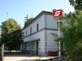
![Randonnée A pied Gemeinde Pöttsching - NW Florianikreuzweg (Bad Sauerbrunn) - Photo](https://media.geolcdn.com/t/350/260/e895e23b-72e1-4b1f-88da-37369986b1c6.jpeg&format=jpg&maxdim=2)
![A pied A pied](https://static1.geolcdn.com/sitytour/trail-icons/100.png)
Km
A pied
![](/images/other/stat-length.png)
![](https://static1.geolcdn.com/siteimages/upload/files/1508320355ic_sort_den_pos_24dp.png)
![](https://static1.geolcdn.com/siteimages/upload/files/1508320355ic_sort_den_neg_24dp.png)
![](https://static1.geolcdn.com/siteimages/upload/files/16400158638029165_repeat_loop_refresh_sync_direction_icon.png)
• Randonnée créée par Tourismusverband Region Rosalia. Symbole: grünes Schild mit Pfeil
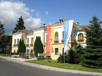
![Randonnée A pied Gemeinde Bad Sauerbrunn - NW Lazawiese (Bad Sauerbrunn) - Photo](https://media.geolcdn.com/t/350/260/d2976b78-61d9-4c90-8d45-fbab169390c2.jpeg&format=jpg&maxdim=2)
![A pied A pied](https://static1.geolcdn.com/sitytour/trail-icons/100.png)
Km
A pied
![](/images/other/stat-length.png)
![](https://static1.geolcdn.com/siteimages/upload/files/1508320355ic_sort_den_pos_24dp.png)
![](https://static1.geolcdn.com/siteimages/upload/files/1508320355ic_sort_den_neg_24dp.png)
![](https://static1.geolcdn.com/siteimages/upload/files/16400158638029165_repeat_loop_refresh_sync_direction_icon.png)
• Randonnée créée par Tourismusverband Region Rosalia. Symbole: grünes Schild mit Pfeil
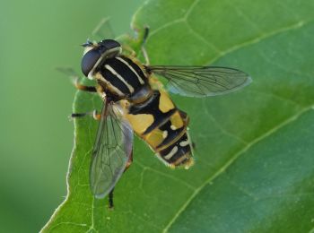
![Randonnée A pied Zemendorf-Stöttera - Zemendorf - Kogel (Nordic Walking) - Photo](https://media.geolcdn.com/t/350/260/8978a7c2-b2b3-400e-bf19-f400fb01631b.jpeg&format=jpg&maxdim=2)
![A pied A pied](https://static1.geolcdn.com/sitytour/trail-icons/100.png)
Km
A pied
![](/images/other/stat-length.png)
![](https://static1.geolcdn.com/siteimages/upload/files/1508320355ic_sort_den_pos_24dp.png)
![](https://static1.geolcdn.com/siteimages/upload/files/1508320355ic_sort_den_neg_24dp.png)
![](https://static1.geolcdn.com/siteimages/upload/files/16400158638029165_repeat_loop_refresh_sync_direction_icon.png)
• Randonnée créée par ASKÖ Landesverband Burgenland. Symbole: grünes Schild mit Pfeil
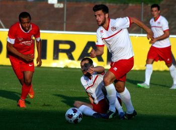
![Randonnée A pied Zemendorf-Stöttera - Zemendorf - Draßburg (Nordic Walking) - Photo](https://media.geolcdn.com/t/350/260/17c55402-87a7-44bc-b565-4bb7b6515e57.jpeg&format=jpg&maxdim=2)
![A pied A pied](https://static1.geolcdn.com/sitytour/trail-icons/100.png)
Km
A pied
![](/images/other/stat-length.png)
![](https://static1.geolcdn.com/siteimages/upload/files/1508320355ic_sort_den_pos_24dp.png)
![](https://static1.geolcdn.com/siteimages/upload/files/1508320355ic_sort_den_neg_24dp.png)
![](https://static1.geolcdn.com/siteimages/upload/files/16400158638029165_repeat_loop_refresh_sync_direction_icon.png)
• Randonnée créée par ASKÖ Landesverband Burgenland. Symbole: grünes Schild mit Pfeil
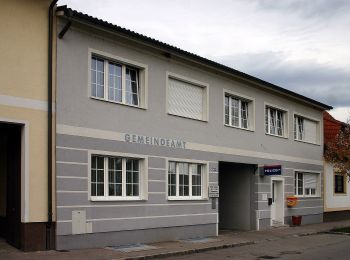
![Randonnée A pied Zemendorf-Stöttera - Zemendorf - Pöttelsdorf - Walbersdorf - Marz (Nordic Walking) - Photo](https://media.geolcdn.com/t/350/260/2766aeda-a26a-425e-98c2-5d0290eb357e.jpeg&format=jpg&maxdim=2)
![A pied A pied](https://static1.geolcdn.com/sitytour/trail-icons/100.png)
Km
A pied
![](/images/other/stat-length.png)
![](https://static1.geolcdn.com/siteimages/upload/files/1508320355ic_sort_den_pos_24dp.png)
![](https://static1.geolcdn.com/siteimages/upload/files/1508320355ic_sort_den_neg_24dp.png)
![](https://static1.geolcdn.com/siteimages/upload/files/16400158638029165_repeat_loop_refresh_sync_direction_icon.png)
• Randonnée créée par ASKÖ Landesverband Burgenland. Symbole: grünes Schild mit Pfeil
![Randonnée A pied Mattersburg - Mattersburg - Marz - Kogel (Nordic Walking) - Photo](https://media.geolcdn.com/t/350/260/8978a7c2-b2b3-400e-bf19-f400fb01631b.jpeg&format=jpg&maxdim=2)
![A pied A pied](https://static1.geolcdn.com/sitytour/trail-icons/100.png)
Km
A pied
![](/images/other/stat-length.png)
![](https://static1.geolcdn.com/siteimages/upload/files/1508320355ic_sort_den_pos_24dp.png)
![](https://static1.geolcdn.com/siteimages/upload/files/1508320355ic_sort_den_neg_24dp.png)
![](https://static1.geolcdn.com/siteimages/upload/files/16400158638029165_repeat_loop_refresh_sync_direction_icon.png)
• Randonnée créée par ASKÖ Landesverband Burgenland. Symbole: grünes Schild mit Pfeil
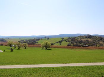
![Randonnée A pied Baumgarten/Pajngrt - Baumgarten - Kogel (Nordic Walking) - Photo](https://media.geolcdn.com/t/350/260/1600f469-7e4a-4257-bfe9-eef867891b1b.jpeg&format=jpg&maxdim=2)
![A pied A pied](https://static1.geolcdn.com/sitytour/trail-icons/100.png)
Km
A pied
![](/images/other/stat-length.png)
![](https://static1.geolcdn.com/siteimages/upload/files/1508320355ic_sort_den_pos_24dp.png)
![](https://static1.geolcdn.com/siteimages/upload/files/1508320355ic_sort_den_neg_24dp.png)
![](https://static1.geolcdn.com/siteimages/upload/files/16400158638029165_repeat_loop_refresh_sync_direction_icon.png)
• Randonnée créée par ASKÖ Landesverband Burgenland. Symbole: grünes Schild mit Pfeil
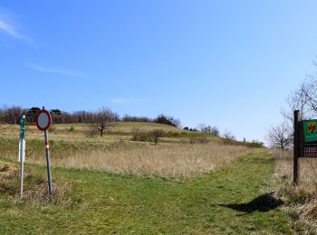
![Randonnée A pied Loipersbach im Burgenland - Loipersbach - Kogel (Nordic Walking) - Photo](https://media.geolcdn.com/t/350/260/5cb484af-b72d-4660-94bb-7b6dce1a8ea4.jpeg&format=jpg&maxdim=2)
![A pied A pied](https://static1.geolcdn.com/sitytour/trail-icons/100.png)
Km
A pied
![](/images/other/stat-length.png)
![](https://static1.geolcdn.com/siteimages/upload/files/1508320355ic_sort_den_pos_24dp.png)
![](https://static1.geolcdn.com/siteimages/upload/files/1508320355ic_sort_den_neg_24dp.png)
![](https://static1.geolcdn.com/siteimages/upload/files/16400158638029165_repeat_loop_refresh_sync_direction_icon.png)
• Randonnée créée par ASKÖ Landesverband Burgenland. Symbole: grünes Schild mit Pfeil
![Randonnée A pied Draßburg/Rasporak - Draßburg - Kogel (Nordic Walking) - Photo](https://media.geolcdn.com/t/350/260/1600f469-7e4a-4257-bfe9-eef867891b1b.jpeg&format=jpg&maxdim=2)
![A pied A pied](https://static1.geolcdn.com/sitytour/trail-icons/100.png)
Km
A pied
![](/images/other/stat-length.png)
![](https://static1.geolcdn.com/siteimages/upload/files/1508320355ic_sort_den_pos_24dp.png)
![](https://static1.geolcdn.com/siteimages/upload/files/1508320355ic_sort_den_neg_24dp.png)
![](https://static1.geolcdn.com/siteimages/upload/files/16400158638029165_repeat_loop_refresh_sync_direction_icon.png)
• Randonnée créée par ASKÖ Landesverband Burgenland. Symbole: grünes Schild mit Pfeil
![Randonnée A pied Schattendorf - Schattendorf - Kogel (Nordic Walking) - Photo](https://media.geolcdn.com/t/350/260/1600f469-7e4a-4257-bfe9-eef867891b1b.jpeg&format=jpg&maxdim=2)
![A pied A pied](https://static1.geolcdn.com/sitytour/trail-icons/100.png)
Km
A pied
![](/images/other/stat-length.png)
![](https://static1.geolcdn.com/siteimages/upload/files/1508320355ic_sort_den_pos_24dp.png)
![](https://static1.geolcdn.com/siteimages/upload/files/1508320355ic_sort_den_neg_24dp.png)
![](https://static1.geolcdn.com/siteimages/upload/files/16400158638029165_repeat_loop_refresh_sync_direction_icon.png)
• Randonnée créée par ASKÖ Landesverband Burgenland. Symbole: grünes Schild mit Pfeil
![Randonnée A pied Gemeinde Bad Sauerbrunn - NW Keltenhofstrecke (Bad Sauerbrunn) - Photo](https://media.geolcdn.com/t/350/260/0f744155-6cb8-432e-bb32-7c4e62024435.jpeg&format=jpg&maxdim=2)
![A pied A pied](https://static1.geolcdn.com/sitytour/trail-icons/100.png)
Km
A pied
![](/images/other/stat-length.png)
![](https://static1.geolcdn.com/siteimages/upload/files/1508320355ic_sort_den_pos_24dp.png)
![](https://static1.geolcdn.com/siteimages/upload/files/1508320355ic_sort_den_neg_24dp.png)
![](https://static1.geolcdn.com/siteimages/upload/files/16400158638029165_repeat_loop_refresh_sync_direction_icon.png)
• Randonnée créée par Tourismusverband Region Rosalia. Symbole: grünes Schild mit Pfeil
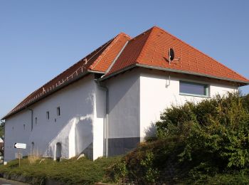
![Randonnée A pied Rohrbach bei Mattersburg - Rohrbach bei Mattersburg - Herrentisch - Photo](https://media.geolcdn.com/t/350/260/1cd7ba0b-25e3-4d8b-b196-78d30a4806ca.jpeg&format=jpg&maxdim=2)
![A pied A pied](https://static1.geolcdn.com/sitytour/trail-icons/100.png)
Km
A pied
![](/images/other/stat-length.png)
![](https://static1.geolcdn.com/siteimages/upload/files/1508320355ic_sort_den_pos_24dp.png)
![](https://static1.geolcdn.com/siteimages/upload/files/1508320355ic_sort_den_neg_24dp.png)
![](https://static1.geolcdn.com/siteimages/upload/files/16400158638029165_repeat_loop_refresh_sync_direction_icon.png)
• Randonnée créée par Marktgemeinde Rohrbach. Symbole: orange Markierung
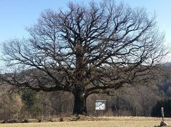
![Randonnée A pied Sieggraben - Naturwanderweg 3 (Sieggraben - Brentenriegel) - Photo](https://media.geolcdn.com/t/350/260/9bacae1a-a272-4bf3-b095-418057ae5064.jpeg&format=jpg&maxdim=2)
![A pied A pied](https://static1.geolcdn.com/sitytour/trail-icons/100.png)
Km
A pied
![](/images/other/stat-length.png)
![](https://static1.geolcdn.com/siteimages/upload/files/1508320355ic_sort_den_pos_24dp.png)
![](https://static1.geolcdn.com/siteimages/upload/files/1508320355ic_sort_den_neg_24dp.png)
![](https://static1.geolcdn.com/siteimages/upload/files/16400158638029165_repeat_loop_refresh_sync_direction_icon.png)
• Randonnée créée par Gemeinde Sieggraben.
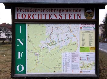
![Randonnée A pied Forchtenstein - Kalkbrennofenweg Forchtenstein ( Sportplatz - Burg Forchtenstein - Steinbruch und retour) - Photo](https://media.geolcdn.com/t/350/260/fe1b088f-d135-4fdd-8ad2-986363b8cb22.jpeg&format=jpg&maxdim=2)
![A pied A pied](https://static1.geolcdn.com/sitytour/trail-icons/100.png)
Km
A pied
![](/images/other/stat-length.png)
![](https://static1.geolcdn.com/siteimages/upload/files/1508320355ic_sort_den_pos_24dp.png)
![](https://static1.geolcdn.com/siteimages/upload/files/1508320355ic_sort_den_neg_24dp.png)
![](https://static1.geolcdn.com/siteimages/upload/files/16400158638029165_repeat_loop_refresh_sync_direction_icon.png)
• Randonnée créée par Österreichischer Touristenklub, Sektion Rosalia. Symbole: blau und weiß waagerecht + D
![Randonnée A pied Forchtenstein - Kastanienstrecke (Start: Forchtenstein GH Schreiner) - Photo](https://media.geolcdn.com/t/350/260/08dccff4-6aa9-4c06-bde3-08b2f6779d02.jpeg&format=jpg&maxdim=2)
![A pied A pied](https://static1.geolcdn.com/sitytour/trail-icons/100.png)
Km
A pied
![](/images/other/stat-length.png)
![](https://static1.geolcdn.com/siteimages/upload/files/1508320355ic_sort_den_pos_24dp.png)
![](https://static1.geolcdn.com/siteimages/upload/files/1508320355ic_sort_den_neg_24dp.png)
![](https://static1.geolcdn.com/siteimages/upload/files/16400158638029165_repeat_loop_refresh_sync_direction_icon.png)
• Randonnée créée par Tourismusverband Region Rosalia. Symbole: grünes Schild mit Pfeil
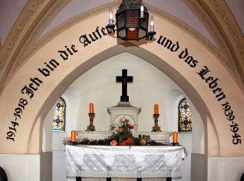
![Randonnée A pied Marz - Bildstockwanderweg (Start: Mattersburg Florianihof) - Photo](https://media.geolcdn.com/t/350/260/926ec324-73c9-49c1-a920-13811fde89ee.jpeg&format=jpg&maxdim=2)
![A pied A pied](https://static1.geolcdn.com/sitytour/trail-icons/100.png)
Km
A pied
![](/images/other/stat-length.png)
![](https://static1.geolcdn.com/siteimages/upload/files/1508320355ic_sort_den_pos_24dp.png)
![](https://static1.geolcdn.com/siteimages/upload/files/1508320355ic_sort_den_neg_24dp.png)
![](https://static1.geolcdn.com/siteimages/upload/files/16400158638029165_repeat_loop_refresh_sync_direction_icon.png)
• Randonnée créée par Tourismusverband Region Rosalia. Symbole: gelb-weiß waagerecht
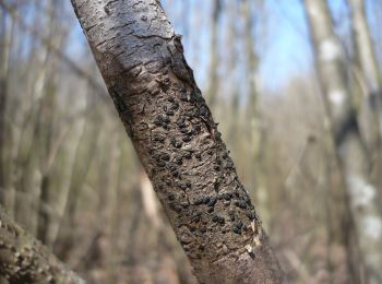
![Randonnée A pied Gemeinde Sigleß - NW Mühlenweg (Start: Sigleß Sportplatz) - Photo](https://media.geolcdn.com/t/350/260/aa36068d-5096-4ab9-8191-ec2efb0daf34.jpeg&format=jpg&maxdim=2)
![A pied A pied](https://static1.geolcdn.com/sitytour/trail-icons/100.png)
Km
A pied
![](/images/other/stat-length.png)
![](https://static1.geolcdn.com/siteimages/upload/files/1508320355ic_sort_den_pos_24dp.png)
![](https://static1.geolcdn.com/siteimages/upload/files/1508320355ic_sort_den_neg_24dp.png)
![](https://static1.geolcdn.com/siteimages/upload/files/16400158638029165_repeat_loop_refresh_sync_direction_icon.png)
• Randonnée créée par Tourismusverband Region Rosalia. Symbole: grünes Schild mit Pfeil
![Randonnée A pied Gemeinde Sigleß - NW Kreuzfeldweg (Start: Sigleß Sportplatz) - Photo](https://media.geolcdn.com/t/350/260/aa36068d-5096-4ab9-8191-ec2efb0daf34.jpeg&format=jpg&maxdim=2)
![A pied A pied](https://static1.geolcdn.com/sitytour/trail-icons/100.png)
Km
A pied
![](/images/other/stat-length.png)
![](https://static1.geolcdn.com/siteimages/upload/files/1508320355ic_sort_den_pos_24dp.png)
![](https://static1.geolcdn.com/siteimages/upload/files/1508320355ic_sort_den_neg_24dp.png)
![](https://static1.geolcdn.com/siteimages/upload/files/16400158638029165_repeat_loop_refresh_sync_direction_icon.png)
• Randonnée créée par Tourismusverband Region Rosalia. Symbole: grünes Schild mit Pfeil
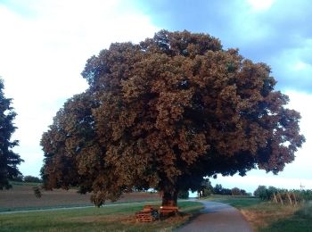
![Randonnée A pied Gemeinde Sigleß - NW Kirchenweg (Start: Sigleß Kirche) - Photo](https://media.geolcdn.com/t/350/260/6ee431a2-7024-433a-abcf-0629c73700da.jpeg&format=jpg&maxdim=2)
![A pied A pied](https://static1.geolcdn.com/sitytour/trail-icons/100.png)
Km
A pied
![](/images/other/stat-length.png)
![](https://static1.geolcdn.com/siteimages/upload/files/1508320355ic_sort_den_pos_24dp.png)
![](https://static1.geolcdn.com/siteimages/upload/files/1508320355ic_sort_den_neg_24dp.png)
![](https://static1.geolcdn.com/siteimages/upload/files/16400158638029165_repeat_loop_refresh_sync_direction_icon.png)
• Randonnée créée par Tourismusverband Region Rosalia. Symbole: grünes Schild mit Pfeil
20 randonnées affichées sur 55
Application GPS de randonnée GRATUITE