


7,2 km | 13,2 km-effort
Bezirk Spittal an der Drau : découvrez les meilleures randonnées : 51 pédestres et 7 à vélo ou VTT. Tous ces circuits, parcours, itinéraires et activités en plein air sont disponibles dans nos applications SityTrail pour smartphones et tablettes.
A pied


• Symbole: Enzian engraved on wood
A pied
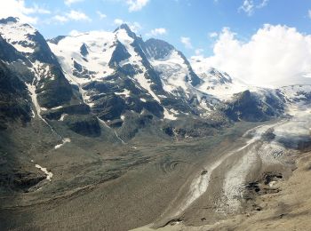
• Randonnée créée par Nationalpark Hohe Tauern.
A pied
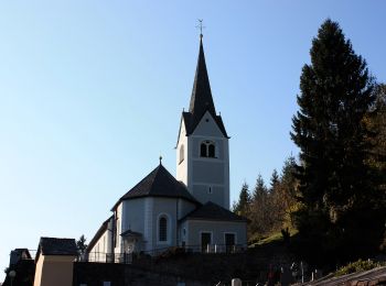
• Randonnée créée par Nationalpark Hohe Tauern.
A pied
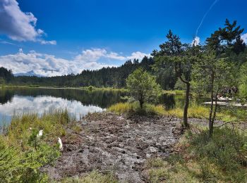
• Randonnée créée par Nationalpark Hohe Tauern.
A pied
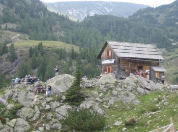
• Randonnée créée par Nationalpark Hohe Tauern.
A pied
• Randonnée créée par Nationalpark Hohe Tauern.
A pied
• Randonnée créée par Nationalpark Hohe Tauern.

A pied
• Randonnée créée par Nationalpark Hohe Tauern.
A pied
• Randonnée créée par Nationalpark Hohe Tauern.
A pied
• Randonnée créée par Nationalpark Hohe Tauern.
A pied
A pied
A pied

A pied
A pied

A pied
A pied
A pied
A pied
A pied
20 randonnées affichées sur 58
Application GPS de randonnée GRATUITE
 SityTrail
IGN / Instituts géographiques
SityTrail World
Le monde est à vous