![](/images/other/stat-length.png)
Geinberg, Bezirk Ried im Innkreis : Les meilleures randonnées, itinéraires, parcours, balades et promenades
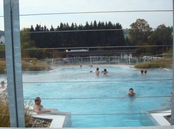
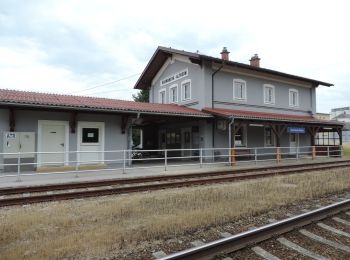
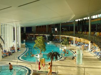
Geinberg : découvrez les meilleures randonnées : 4 pédestres. Tous ces circuits, parcours, itinéraires et activités en plein air sont disponibles dans nos applications SityTrail pour smartphones et tablettes.
Les meilleurs parcours (4)
![Randonnée A pied Geinberg - Schlanke Linie Runde - Photo](https://media.geolcdn.com/t/350/260/9e672035-b7bf-49ce-893c-9e4e375e1104.jpeg&format=jpg&maxdim=2)
![A pied A pied](https://static1.geolcdn.com/sitytour/trail-icons/100.png)
Km
A pied
![](/images/other/stat-length.png)
![](https://static1.geolcdn.com/siteimages/upload/files/1508320355ic_sort_den_pos_24dp.png)
![](https://static1.geolcdn.com/siteimages/upload/files/1508320355ic_sort_den_neg_24dp.png)
![](https://static1.geolcdn.com/siteimages/upload/files/16400158638029165_repeat_loop_refresh_sync_direction_icon.png)
• Randonnée créée par Innviertel Tourismus.
![Randonnée A pied Geinberg - Innviertel Runde - Photo](https://media.geolcdn.com/t/350/260/9e672035-b7bf-49ce-893c-9e4e375e1104.jpeg&format=jpg&maxdim=2)
![A pied A pied](https://static1.geolcdn.com/sitytour/trail-icons/100.png)
Km
A pied
![](/images/other/stat-length.png)
![](https://static1.geolcdn.com/siteimages/upload/files/1508320355ic_sort_den_pos_24dp.png)
![](https://static1.geolcdn.com/siteimages/upload/files/1508320355ic_sort_den_neg_24dp.png)
![](https://static1.geolcdn.com/siteimages/upload/files/16400158638029165_repeat_loop_refresh_sync_direction_icon.png)
• Randonnée créée par Innviertel Tourismus. Routenfarbe ist eigentlich dunkelblau, zur Unterscheidung mit der hellblau...
![Randonnée A pied Geinberg - Lagerhaus Runde - Photo](https://media.geolcdn.com/t/350/260/94bfd03a-28a4-4f9b-9df8-243b24005b64.jpeg&format=jpg&maxdim=2)
![A pied A pied](https://static1.geolcdn.com/sitytour/trail-icons/100.png)
Km
A pied
![](/images/other/stat-length.png)
![](https://static1.geolcdn.com/siteimages/upload/files/1508320355ic_sort_den_pos_24dp.png)
![](https://static1.geolcdn.com/siteimages/upload/files/1508320355ic_sort_den_neg_24dp.png)
![](https://static1.geolcdn.com/siteimages/upload/files/16400158638029165_repeat_loop_refresh_sync_direction_icon.png)
• Randonnée créée par Innviertel Tourismus.
![Randonnée A pied Geinberg - Thermenlauf - Photo](https://media.geolcdn.com/t/350/260/af4a1e3f-9286-4928-affb-ed6657d75076.jpeg&format=jpg&maxdim=2)
![A pied A pied](https://static1.geolcdn.com/sitytour/trail-icons/100.png)
Km
A pied
![](/images/other/stat-length.png)
![](https://static1.geolcdn.com/siteimages/upload/files/1508320355ic_sort_den_pos_24dp.png)
![](https://static1.geolcdn.com/siteimages/upload/files/1508320355ic_sort_den_neg_24dp.png)
![](https://static1.geolcdn.com/siteimages/upload/files/16400158638029165_repeat_loop_refresh_sync_direction_icon.png)
• Randonnée créée par Innviertel Tourismus. Ausgeschilderte Strecke des Hauptbewerbs des jährlich im November ausgetra...
4 randonnées affichées sur 4
Application GPS de randonnée GRATUITE