![](/images/other/stat-length.png)
- Randonnées
- Outdoor
- Autriche
- Styrie
- Bezirk Leibnitz
- Straß in Steiermark
Straß in Steiermark, Bezirk Leibnitz : Les meilleures randonnées, itinéraires, parcours, balades et promenades
Straß in Steiermark : découvrez les meilleures randonnées : 4 pédestres. Tous ces circuits, parcours, itinéraires et activités en plein air sont disponibles dans nos applications SityTrail pour smartphones et tablettes.
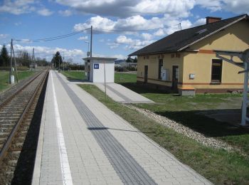
Les meilleurs parcours (4)
![Randonnée A pied Straß in Steiermark - Auen- und Moorwanderweg - Photo](https://media.geolcdn.com/t/350/260/60c16bef-cc0b-4000-ace7-3dd0782ba5b0.jpeg&format=jpg&maxdim=2)
![A pied A pied](https://static1.geolcdn.com/sitytour/trail-icons/100.png)
Km
A pied
![](/images/other/stat-length.png)
![](https://static1.geolcdn.com/siteimages/upload/files/1508320355ic_sort_den_pos_24dp.png)
![](https://static1.geolcdn.com/siteimages/upload/files/1508320355ic_sort_den_neg_24dp.png)
![](https://static1.geolcdn.com/siteimages/upload/files/16400158638029165_repeat_loop_refresh_sync_direction_icon.png)
• Randonnée créée par Marktgemeinde Straß.
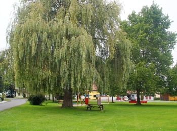
![Randonnée A pied Straß in Steiermark - Rebenwanderweg Spielfeld - Photo](https://media.geolcdn.com/t/350/260/a71392bc-db22-486a-8d6e-d166436c1af8.jpeg&format=jpg&maxdim=2)
![A pied A pied](https://static1.geolcdn.com/sitytour/trail-icons/100.png)
Km
A pied
![](/images/other/stat-length.png)
![](https://static1.geolcdn.com/siteimages/upload/files/1508320355ic_sort_den_pos_24dp.png)
![](https://static1.geolcdn.com/siteimages/upload/files/1508320355ic_sort_den_neg_24dp.png)
![](https://static1.geolcdn.com/siteimages/upload/files/16400158638029165_repeat_loop_refresh_sync_direction_icon.png)
• Randonnée créée par die Südsteirische Weinstraße. Symbole: rote Tafel mit weißer Weintraube auf violett und gelber S...
![Randonnée A pied Straß in Steiermark - Fähren Weg - Photo](https://media.geolcdn.com/t/350/260/388dfbc9-ffa4-4149-ba21-c3ebe7be4aaa.jpeg&format=jpg&maxdim=2)
![A pied A pied](https://static1.geolcdn.com/sitytour/trail-icons/100.png)
Km
A pied
![](/images/other/stat-length.png)
![](https://static1.geolcdn.com/siteimages/upload/files/1508320355ic_sort_den_pos_24dp.png)
![](https://static1.geolcdn.com/siteimages/upload/files/1508320355ic_sort_den_neg_24dp.png)
![](https://static1.geolcdn.com/siteimages/upload/files/16400158638029165_repeat_loop_refresh_sync_direction_icon.png)
• Symbole: rot-weiss-rot 15
![Randonnée A pied Straß in Steiermark - Mur-Grenzweg - Photo](https://media.geolcdn.com/t/350/260/648e79bb-4ffb-4da1-a4e2-3c149369cbed.jpeg&format=jpg&maxdim=2)
![A pied A pied](https://static1.geolcdn.com/sitytour/trail-icons/100.png)
Km
A pied
![](/images/other/stat-length.png)
![](https://static1.geolcdn.com/siteimages/upload/files/1508320355ic_sort_den_pos_24dp.png)
![](https://static1.geolcdn.com/siteimages/upload/files/1508320355ic_sort_den_neg_24dp.png)
![](https://static1.geolcdn.com/siteimages/upload/files/16400158638029165_repeat_loop_refresh_sync_direction_icon.png)
• Symbole: rot-weiss-rot 10
4 randonnées affichées sur 4
Application GPS de randonnée GRATUITE