


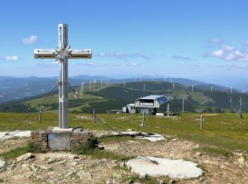
4,5 km | 8 km-effort
Gemeinde Spital am Semmering : découvrez les meilleures randonnées : 16 pédestres. Tous ces circuits, parcours, itinéraires et activités en plein air sont disponibles dans nos applications SityTrail pour smartphones et tablettes.
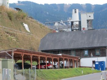
A pied


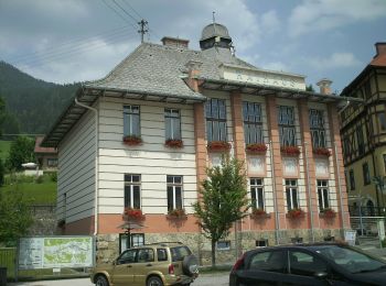
• Randonnée créée par Tourismusverband Spital am Semmering.
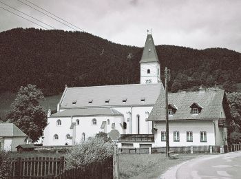
A pied
• Randonnée créée par Österreichischer Alpenverein Sektion Edelweiß/Wien. Symbole: rot-weiß-rot 13
A pied
• Symbole: rot-weiss-rot
A pied
• Randonnée créée par Tourismusverband Spital am Semmering.
A pied
• Randonnée créée par Tourismusverband Spital am Semmering.
A pied
• Randonnée créée par Tourismusverband Spital am Semmering. Symbole: grün-weiß
A pied
• Randonnée créée par Österreichischer Alpenverein Sektion Edelweiß/Wien. Symbole: rot-weiß-rot 4
A pied
• Randonnée créée par Österreichischer Alpenverein Sektion Edelweiß/Wien. Symbole: rot-weiß-rot 7
A pied
• Randonnée créée par Österreichischer Alpenverein Sektion Edelweiß/Wien. Symbole: rot-weiß-rot 5
A pied
• Randonnée créée par Österreichischer Alpenverein Sektion Edelweiß/Wien. Symbole: rot-weiss-rot 6
A pied
• Randonnée créée par ÖTK.
A pied
• Symbole: grünes Schild: T1
A pied
• Randonnée créée par Tourismusverband Spital am Semmering.
A pied
A pied

A pied
• Randonnée créée par ÖAV Sektion Mürzzuschlag.
16 randonnées affichées sur 16
Application GPS de randonnée GRATUITE
 SityTrail
IGN / Instituts géographiques
SityTrail World
Le monde est à vous