


20 km | 28 km-effort
Planfayon : découvrez les meilleures randonnées : 6 sports d'hiver et 1 raquettes à neige. Tous ces circuits, parcours, itinéraires et activités en plein air sont disponibles dans nos applications SityTrail pour smartphones et tablettes.

Sports d'hiver


•

Raquettes à neige
•
Sports d'hiver
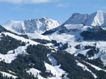
• Très jolie randonnée à ski ou raquette dans la région de Schwarzee (Lac-Noir). Carte Topo suisse 1.50000 253
Sports d'hiver
• Très jolie randonnée à ski ou raquette dans la région de Schwarzee (Lac-Noir). Carte Topo suisse 1.50000 253
Sports d'hiver
• Hinweis: Die Trackdaten können auf http://www.remosworld.ch gratis gedownloadet werden.
Sports d'hiver
• Ergänzungsteil zur Schwarzsee-Geissalptour. Cooler Singletrail/Wanderweg der "Warmen Sense" entlang.
Sports d'hiver
• Hinweis: Die Trackdaten können auf http://www.remosworld.ch gratis gedownloadet werden.
7 randonnées affichées sur 7
 SityTrail