


15,8 km | 20 km-effort
Saint-Quirin : découvrez les meilleures randonnées : 4 cheval, 56 randonnée équestre et 3 attelage. Tous ces circuits, parcours, itinéraires et activités en plein air sont disponibles dans nos applications SityTrail pour smartphones et tablettes.

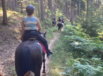
Randonnée équestre


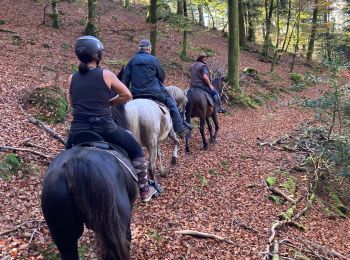
Randonnée équestre
Randonnée équestre
Randonnée équestre
Randonnée équestre
• Circuit SA Lettenbach - Marmoutier
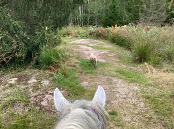
Randonnée équestre

Randonnée équestre
Randonnée équestre
Randonnée équestre
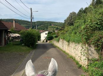
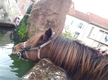
• Balade d'une demi-journée, point d'eau à St Quirin
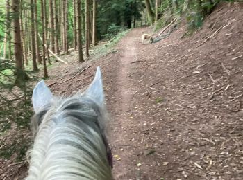
Randonnée équestre
• Très belle balade d'une joournée, chemins variés, avec un abri à mi-parcours.
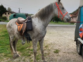
Cheval
• Lettenbach Saint quirin

Randonnée équestre
Randonnée équestre
Randonnée équestre
Randonnée équestre
Randonnée équestre
• DEPART CAMPING VIA LETTENBACH
Randonnée équestre
• Un peu technique de grosses montees
Randonnée équestre
Randonnée équestre
Randonnée équestre
20 randonnées affichées sur 63
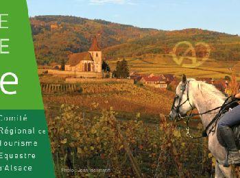
Application GPS de randonnée GRATUITE
 SityTrail
IGN / Instituts géographiques
SityTrail World
Le monde est à vous