


27 km | 41 km-effort
Aubure : découvrez les meilleures randonnées : 9 cheval, 15 randonnée équestre et 1 attelage. Tous ces circuits, parcours, itinéraires et activités en plein air sont disponibles dans nos applications SityTrail pour smartphones et tablettes.
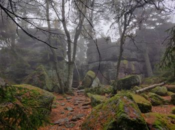
Randonnée équestre


• Gite Ferme Oudin Equitation Journée vers le Taennchel
Randonnée équestre
• Gite Ferme Oudin Equitation Journée vers le Brézouard

Randonnée équestre
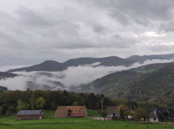
• Circuit Entre l’Alsace et les Vosges : Etape entre Aubure et Plainfaing
Randonnée équestre
• Gite Ferme Oudin Equitation Journée vers la vallée de Fréland

Randonnée équestre
• Circuit Entre l’Alsace et les Vosges : Etape entre Aubure et Orbey

Randonnée équestre
Randonnée équestre

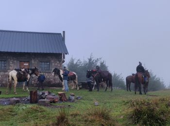
Attelage

Randonnée équestre

Cheval
• Path.kml
Randonnée équestre
• Gite Ferme Oudin Equitation Journée vers le Brézouard
Cheval
• Aubure vers Ribeauvillé par les chateaux (25km)
Cheval
Cheval
Cheval
Randonnée équestre
Randonnée équestre
Randonnée équestre
Randonnée équestre
Cheval
20 randonnées affichées sur 25
Application GPS de randonnée GRATUITE
 SityTrail
IGN / Instituts géographiques
SityTrail World
Le monde est à vous