


6,1 km | 7,2 km-effort
Nouvelle-Aquitaine : découvrez les meilleures randonnées : 3 roller, 13 via ferrata, 1 pêche et 4 chasse. Tous ces circuits, parcours, itinéraires et activités en plein air sont disponibles dans nos applications SityTrail pour smartphones et tablettes.

Autre activité


•
Autre activité
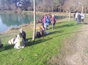
• bombannes
Autre activité
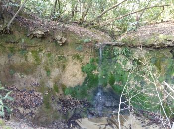
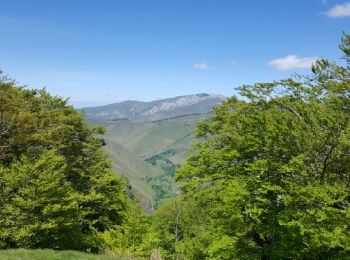
• Balade2
Autre activité
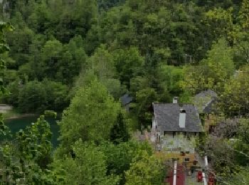
• maison
Autre activité
Autre activité
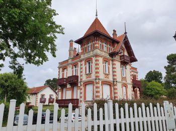
• Balade en "petit train" très intéressante pour découvrir toutes les belles demeures d'Arcachon. Commentaires très ric...
Autre activité
• cayac

Autre activité
Autre activité

Autre activité
• Boucle de bourgnac sourzac
Autre activité
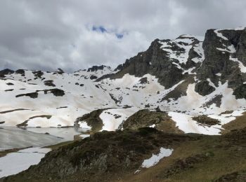
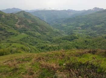
• Gros dénivelé
Autre activité
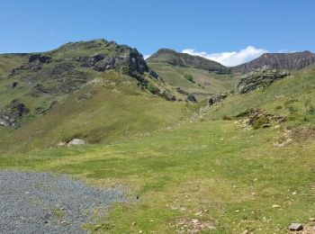
• Liaison par le proprio de l'hôtel jusqu'à La station de Ski. Vraiment un très raid dans les Pyrénées.
Autre activité
• Belle balade
Autre activité
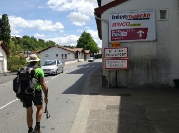
• Liaison car entre Arête et pont de LESCUN
Autre activité
• Bloquer par la neige, descente en voiture à Arette
Autre activité
• Hier problème sur Sitytrail nous avons prolongé jusqu'à Logibar
Autre activité
• Problème sur Sitytrail sur les 3 derniers kilometres
Autre activité
• Pas mal de dénivelé aujourd'hui. ce soir camping sauvage baignoire eau courante
Autre activité
• Fastoche
Autre activité
• Un peu de dénivelé ne fait pas de mal
20 randonnées affichées sur 651
Application GPS de randonnée GRATUITE
 SityTrail
IGN / Instituts géographiques
SityTrail World
Le monde est à vous