![](/images/other/stat-length.png)
- Randonnées
- A pied
- Slovaquie
- Région de Košice
- Inconnu
- okres Gelnica
okres Gelnica, Inconnu, A pied : Les meilleures randonnées, itinéraires, parcours, balades et promenades
okres Gelnica : découvrez les meilleures randonnées : 6 a pied. Tous ces circuits, parcours, itinéraires et activités en plein air sont disponibles dans nos applications SityTrail pour smartphones et tablettes.
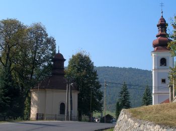
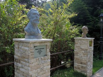
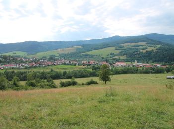
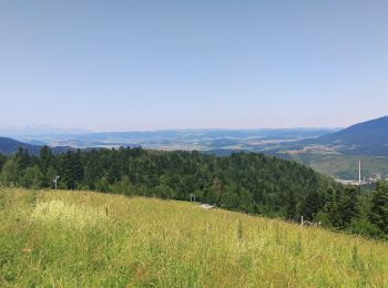
Les meilleurs parcours (6)
![Randonnée A pied okres Gelnica - Osobnosti a história Kluknavy - Photo](https://media.geolcdn.com/t/350/260/40c82b25-0612-417c-8166-72612fb849c5.jpeg&format=jpg&maxdim=2)
![A pied A pied](https://static1.geolcdn.com/sitytour/trail-icons/100.png)
Km
A pied
![](/images/other/stat-length.png)
![](https://static1.geolcdn.com/siteimages/upload/files/1508320355ic_sort_den_pos_24dp.png)
![](https://static1.geolcdn.com/siteimages/upload/files/1508320355ic_sort_den_neg_24dp.png)
![](https://static1.geolcdn.com/siteimages/upload/files/16400158638029165_repeat_loop_refresh_sync_direction_icon.png)
• Randonnée créée par Košický Samosprávny Kraj. Symbole: education
![Randonnée A pied okres Gelnica - Po stopách smolníckych baníkov - Photo](https://media.geolcdn.com/t/350/260/f337716e-9e3e-4932-9e9c-c07e2cef2f3d.jpeg&format=jpg&maxdim=2)
![A pied A pied](https://static1.geolcdn.com/sitytour/trail-icons/100.png)
Km
A pied
![](/images/other/stat-length.png)
![](https://static1.geolcdn.com/siteimages/upload/files/1508320355ic_sort_den_pos_24dp.png)
![](https://static1.geolcdn.com/siteimages/upload/files/1508320355ic_sort_den_neg_24dp.png)
![](https://static1.geolcdn.com/siteimages/upload/files/16400158638029165_repeat_loop_refresh_sync_direction_icon.png)
• Randonnée créée par Vitalcity.sk.
![Randonnée A pied okres Gelnica - Lesný náučný chodník Smolnícka osada - Photo](https://media.geolcdn.com/t/350/260/cf85205e-7e0b-4a2c-a735-e828bbebede0.jpeg&format=jpg&maxdim=2)
![A pied A pied](https://static1.geolcdn.com/sitytour/trail-icons/100.png)
Km
A pied
![](/images/other/stat-length.png)
![](https://static1.geolcdn.com/siteimages/upload/files/1508320355ic_sort_den_pos_24dp.png)
![](https://static1.geolcdn.com/siteimages/upload/files/1508320355ic_sort_den_neg_24dp.png)
![](https://static1.geolcdn.com/siteimages/upload/files/16400158638029165_repeat_loop_refresh_sync_direction_icon.png)
• Symbole: education
![Randonnée A pied okres Gelnica - Vyhliadková trasa - Photo](https://media.geolcdn.com/t/350/260/3fcfe349-9039-4e79-91ca-95f8e8192ed5.jpeg&format=jpg&maxdim=2)
![A pied A pied](https://static1.geolcdn.com/sitytour/trail-icons/100.png)
Km
A pied
![](/images/other/stat-length.png)
![](https://static1.geolcdn.com/siteimages/upload/files/1508320355ic_sort_den_pos_24dp.png)
![](https://static1.geolcdn.com/siteimages/upload/files/1508320355ic_sort_den_neg_24dp.png)
![](https://static1.geolcdn.com/siteimages/upload/files/16400158638029165_repeat_loop_refresh_sync_direction_icon.png)
• Randonnée créée par Lesy s.r.o..
![Randonnée A pied okres Gelnica - Kamenný chodník - Photo](https://media.geolcdn.com/t/350/260/d383e93e-be11-471e-82b1-2fee2efb6dc4.jpeg&format=jpg&maxdim=2)
![A pied A pied](https://static1.geolcdn.com/sitytour/trail-icons/100.png)
Km
A pied
![](/images/other/stat-length.png)
![](https://static1.geolcdn.com/siteimages/upload/files/1508320355ic_sort_den_pos_24dp.png)
![](https://static1.geolcdn.com/siteimages/upload/files/1508320355ic_sort_den_neg_24dp.png)
![](https://static1.geolcdn.com/siteimages/upload/files/16400158638029165_repeat_loop_refresh_sync_direction_icon.png)
• Randonnée créée par Združenie rozvoja cestovného ruchu Čierna hora.
![Randonnée A pied okres Gelnica - O2 - Kyslíková trasa - Photo](https://media.geolcdn.com/t/350/260/354e320b-9ba5-430e-a652-69a05218ab57.jpeg&format=jpg&maxdim=2)
![A pied A pied](https://static1.geolcdn.com/sitytour/trail-icons/100.png)
Km
A pied
![](/images/other/stat-length.png)
![](https://static1.geolcdn.com/siteimages/upload/files/1508320355ic_sort_den_pos_24dp.png)
![](https://static1.geolcdn.com/siteimages/upload/files/1508320355ic_sort_den_neg_24dp.png)
![](https://static1.geolcdn.com/siteimages/upload/files/16400158638029165_repeat_loop_refresh_sync_direction_icon.png)
• Randonnée créée par O2.
6 randonnées affichées sur 6
Application GPS de randonnée GRATUITE