


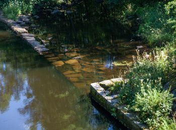
3,2 km | 4 km-effort
Comté de Halland : découvrez les meilleures randonnées : 32 a pied et 2 marche. Tous ces circuits, parcours, itinéraires et activités en plein air sont disponibles dans nos applications SityTrail pour smartphones et tablettes.
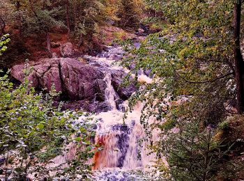
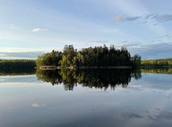
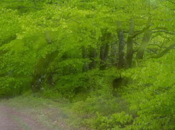
A pied


• Randonnée créée par Länsstyrelsen Hallands län.
A pied
• Randonnée créée par Riksförbundet HjärtLung.
A pied
• Site web: https://www.halmstad.se/upplevagora/friluftslivochnatur/promenadstigarochvandringsleder.1297.html
A pied
• Symbole: yellow
A pied
A pied
• null Site web: https://www.hembygd.se/oskarstroms-hembygdsforening/page/4430
A pied

A pied
• Randonnée créée par Länsstyrelsen Hallands län.
A pied
• Randonnée créée par IF Rigor.
A pied
A pied
A pied
A pied
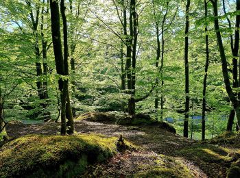
• Randonnée créée par Åkulla bokskogar.
A pied
A pied
A pied

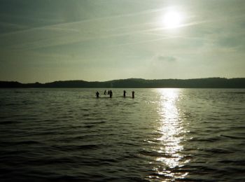
Marche
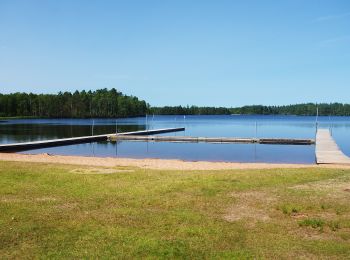
• AR autour du lac. Petit arrêt dans un restaurant hôtel glacier avec une magnifique vue sur le lac.
A pied
A pied
20 randonnées affichées sur 34
Application GPS de randonnée GRATUITE
 SityTrail
IGN / Instituts géographiques
SityTrail World
Le monde est à vous