


17,1 km | 22 km-effort
Alvoco da Serra : découvrez les meilleures randonnées : 3 a pied et 1 marche. Tous ces circuits, parcours, itinéraires et activités en plein air sont disponibles dans nos applications SityTrail pour smartphones et tablettes.
A pied


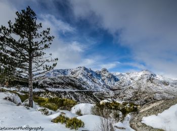
• Randonnée créée par Município de Manteigas. Site web: https://manteigastrilhosverdes.com/portfolio_page/glaciar/
A pied
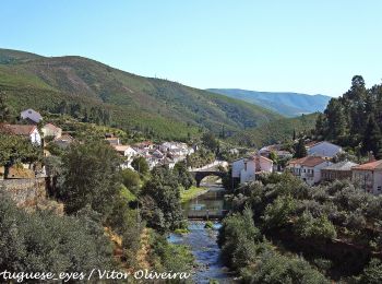
• Randonnée créée par Município de Seia.
A pied
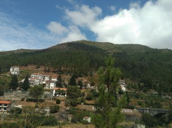
• Randonnée créée par Município de Seia.

Marche
4 randonnées affichées sur 4
Application GPS de randonnée GRATUITE
 SityTrail
IGN / Instituts géographiques
SityTrail World
Le monde est à vous